A controversial bridge project on Flathead Lake’s northern shore is nearing completion despite complaints from neighbors.
The original permit issued for the bridge, which will be used to restore access to a portion of private property that was once a spit but is now an island in the lake, allowed for 481 feet of bridge length and 16 feet of width.
In March, the developer, Jolene Dugan, applied for and received an amendment to the permit for the bridge, extending the structure to 539 feet in length.
The added length drew some ire from neighbors, including Dave Hadden, who chairs the Community Association for North Shore Conservation. This group has issued a legal complaint against the project, saying it was never valid because roads and driveways are not permitted to cross the Lakeshore Protection Zone.
The group also alleges that the bridge project is a significant one and should have prompted more public review.
Dugan submitted an application for a lakeshore construction project for the access bridge in 2011. Access bridges are not specifically listed in the regulations as work requiring a permit, nor are they listed in the unallowable construction or installation projects in the Lakeshore Protection Zone.
The Flathead County Commission approved the project in 2011.
Since construction began, the bridge has been plagued with issues, including a stop-work order in April 2014, when the developer added extra length to the structure without permission.
Now, though, the project is in compliance, according to Flathead County planning and zoning director BJ Grieve.
“We have been inspecting this situation regularly, and as of today, May 4 2015, we are unaware of any violations of their permit,” Grieve said.
The amended permit actually lessens the number of pilings needed for the structure because the developer can use longer spans. Originally, the project called for 76 pilings, and now needs 38.
There is also concern from the public about how the property owner will access the bridge, Grieve said. If they choose to build a driving surface that needs fill for construction, they will need a permit if the surface is located in the floodplain.
However, in 2012 the developer applied for and received a Letter of Map Amendment (LOMA) from the Federal Emergency Management Agency (FEMA), removing certain parts of the properties involved from the floodplain maps.
This means the property owner could drive through their own property, not in a floodplain, to get to the bridge, Grieve said.
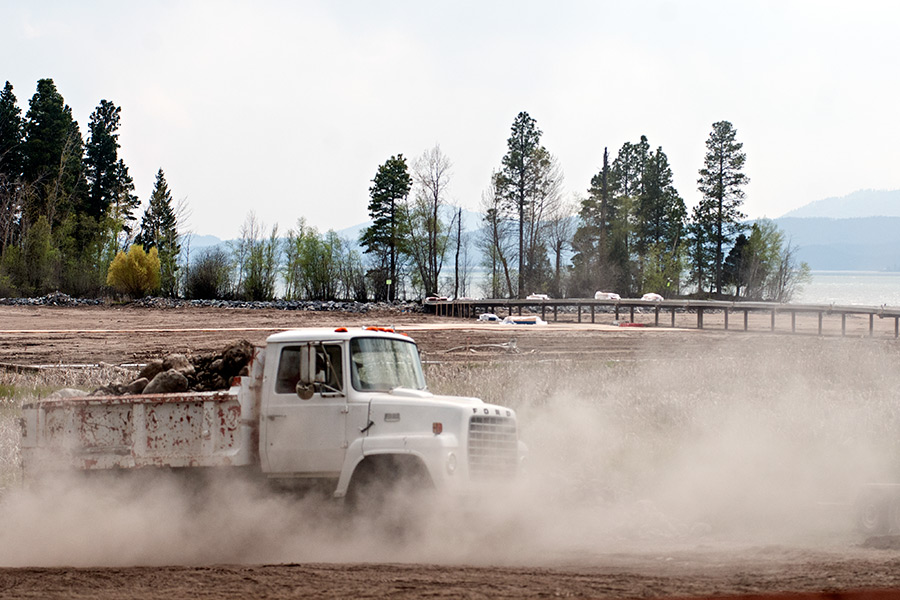
There was also the matter of the developer adding fill to existing roads to support the crane needed to work on the bridge, and Grieve said the area in question was removed from the floodplain, so the planning office had no say in the matter.
Also, as part of the permit, the developer is allowed to use mechanized equipment, and set down temporary logs to keep the crane outriggers from slicing, gouging, or rutting the lakebed, Grieve said, and will remove the logs.
“We continue to monitor the situation extremely closely. We answer every question and investigate every unanswered question,” Grieve said.
