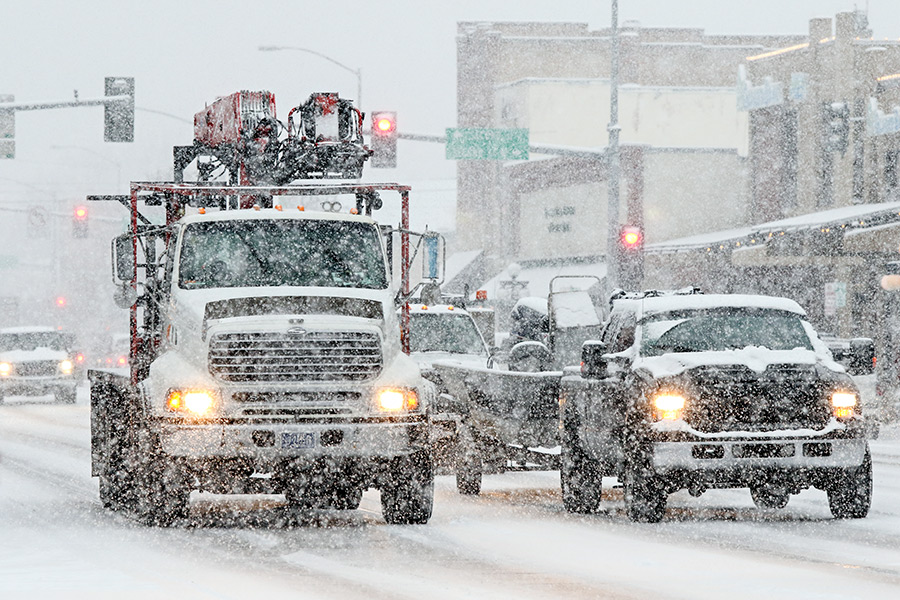
A storm loaded with snow and strong winds is rolling through western Montana, creating hazardous travel conditions in the Flathead Valley and ushering in single-digit lows ahead of the Thanksgiving holiday.
The National Weather Service has issued a winter storm warning from 8 a.m. Tuesday through 5 a.m. Wednesday in the Flathead Valley, with additional weather warnings varying in the central part of the state, east of the Continental Divide.
The first significant arctic front of the season began its march across the region early Tuesday, causing a rapid temperature drop, snow, ice, and hazardous driving conditions, the NWS said. Pass conditions will be especially dicey.
In Kalispell and Whitefish, the snow will abate by Tuesday evening, but wind and hazardous road conditions could persist, according to NWS Meteorologist Stefani Henry.
“We are expecting things to calm down snow-wise in Kalispell later today after that front moves through, but the roads could continue to be hazardous,” Henry said. “We are expecting the wind to continue through the night and probably still see some snow in the higher terrain along the Continental Divide.”
After the system moves through, Flathead Valley residents can expect lingering snow showers to continue into Wednesday, but most of the moisture will clear out and, as the cold air settles, temperatures are forecast to drop rapidly.
By Wednesday night, temperatures are predicted to dip into the single digits in the Kalispell area, while areas adjacent to Flathead Lake may still experience some lake-effect snow into Thursday.
Temperatures are forecast to rise into the 20s on Thursday before dipping down into the teens again Thursday night. By then, the winds will have died down, Henry said.
The arctic front is moving down from the Gulf of Alaska and Canada, and in this region first hit Marias Pass, where blizzard conditions are expected throughout Tuesday. The front will eventually make its way south towards Missoula Tuesday afternoon, and the potential for a flash freeze exists across western and southwest Montana. The snow will taper off Tuesday night.
Snow accumulations of 2 to 4 inches are expected in most valleys with higher amounts in the mountains.