A weather system bringing deep snow and extreme cold is taking aim at the area around Glacier National Park this week.
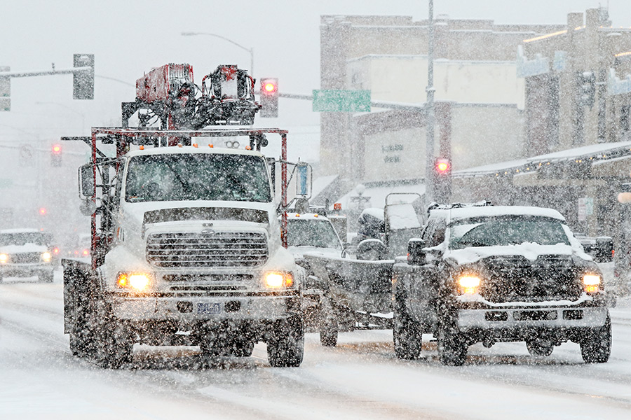
The National Weather Service is forecasting 2 feet of snow for Marias Pass and the southern section of Glacier Park from Wednesday night until Friday morning. Below zero temperatures are also possible for the area between Essex and Marias Pass. Forecasters say the worst of the storm could hit Thursday and feature 50 mile per hour wind gusts.
The combination of wind and snow is raising concerns for avalanches across the region. The Flathead Avalanche Center reported Wednesday that the slide danger was “considerable” in Glacier Park, especially in areas above 6,000 feet. Avalanche Center Director Emeritus Erich Peitzch said officials are primarily worried about slab avalanches.
“This is the scariest snowpack I have seen since 2014,” he said, according to the Feb. 7 avalanche advisory.
Less snow was expected for the Flathead Valley, but snow and wind Thursday could result in a messy evening commute. Wind gusts of up to 40 miles per hour were also predicted for Thursday. Kalispell was expected to receive 3 to 4 inches, Eureka 1 to 2 inches, and Polebridge 8 to 12 inches.