An outing into the wilderness was once lauded as a chance to break ties with civilization and technology. Now, the latter is as much a part of the journey as the year-old Clif Bar hidden at the bottom of a backpack — it’s not exactly what you want to be looking at on a mountaintop, but it can enhance the experience.
In addition to the essential camera, a smartphone can be configured for a host of outdoor-oriented uses. Here are some of the essential apps that, depending on your activity, could be helpful this summer.
Know Before You Go
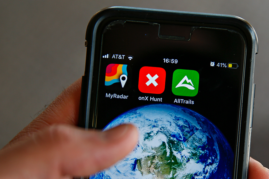
Looking for clouds is not always an accurate way to predict an afternoon rainstorm. MyRadar (free) is a simple real-time radar tracker that shows likelihood of precipitation and where storms systems are gathering. Weather Underground (free) offers a more comprehensive, hyper-local focus, drawing on a network of National Weather Service stations and other stations to provide detailed hourly forecasts as well as precise projections for the week.
Don’t Get Lost
Montana has more than 30 million acres of public lands — about a third of the entire state. Exploring them is as easy as picking a direction and walking, but knowing exactly where you are is key.
Download basic topographical maps to use offline with Gaia GPS (free to $19.99/year). The app lets you seamlessly plan and track your intended routes, even after leaving service. Cairn (free) operates similarly but with added communications features. Cairn will show coverage maps for your cell carrier, give detailed beta for popular hikes and allow you to notify a designated “safety circle” of friends and family of your destination and projected time frame.
If there’s no such thing as too much information, onX Offroad ($29.99/year) is the way to go. OnX is a Montana-based company that compiles public and private land boundaries into navigable apps to make sure you always know who owns the land around you. The app also has detailed information about more than 400,000 miles of motorized roads managed by the U.S. Forest Service and other agencies. You can filter roads and trails by vehicle accessibility, and find out which are open during any season. OnX also features weather forecasting, river reports, a live tracker and the ability to save waypoints to mark a campsite, climbing spot, road obstacle or Sasquatch sighting.
Explore New Terrain
Once you know where you are, knowing where you want to go is the next step. All Trails (free) is a go-to app for exploring new parts of the country. It lists the top trails for biking, hiking and running nearby, and ranks them by length, difficulty and trail traffic. It also offers extras such as water features and pet-friendliness.
Trailforks (free) lets you choose an activity type and see all available routes in the area. The app has details such as surface type and exact elevation profiles and offers heatmaps to look for the most (and least) traversed routes. You can also log trail conditions as you encounter them and keep fellow trail users up to date.
Have Sweet Dreams
The last thing anyone wants to do after a day in the woods is drive around looking for a place to spend the night. Recreation.gov (free) shows open sites at campgrounds on federal land and lets you check future availability. The Dyrt (free to $29.99/year) takes it to the next step, showing all public and private campsites with reviews, costs and amenities. With the Pro version, all this information is stored offline, and users can get discounts or fee waivers at certain sites.
Be a Know-It-All
Lugging around tattered hand-me-down field guides is dead weight and makes you feel a little too much like your dad. Instead, these apps will do all the work of telling you what precisely you’re looking at.
For the locals, Fishes of Montana (free) lets anglers sort through 100 species of fish to determine what they’ve hooked. The app filters characteristics from the drainage being fished down to the absence of adipose fins. Montana Wildflowers (free) does the same for roughly 2600 native plants.
Shroomify (free) is an asset to the amateur mycologist. Users can sort through the vast database to identify mushrooms based on color, gill shape, size and more.
iNaturalist (free) is a crowd-sourced field guide for everything else encountered on the trail. Users can add observations, help identify an unknown species or check to see where fellow explorers have encountered fields of lupines, angry rattlesnakes or a friendly grizzly.
If you’ve ever wondered which mountain is looming ahead of you, wonder no more. PeakLens (Android, free) or PeakFinder (iOs, $4.99) use the GPS and camera in your phone to identify peaks in sight based on your location, finally putting an end to the post-summit search for which mountains you spent the afternoon staring at.
Similarly, use SkyView (free) to turn your phone into a pocket-sized planetarium. Point your camera at a constellation or star on the horizon and the app will identify it as well as offer up factoids. There’s also a search feature so you know which part of the horizon the Hubble Space Telescope is orbiting along or where the North Star really is (hint: it’s toward the north).