A proposal to add dozens of new trails to the Whitefish Range while improving forest resilience is edging closer to fruition as the Flathead National Forest seeks public comment on its plan to build out the area’s recreation potential while reducing the risk of wildfire through “landscape intervention” and fuel reduction.
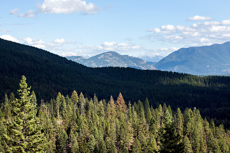
Located northwest of Whitefish, the “Whitefish Face” area lies in the southern portion of the Whitefish Range, from Haskill Basin to Werner Peak in the Tally Lake Ranger District. The Whitefish Face Working Group began meeting five years ago and is now seeking public comment on the Taylor Hellroaring Project, which is the culmination of work between U.S. Forest Service personnel and a local group of citizens seeking collaborative forest management in the area.
The Forest Service released its initial environmental assessment of the project last year, but withdrew it due to concerns surrounding the size of the proposed clearings and because the Flathead National Forest was in the process of debuting its new forest plan.
The public can comment on the new assessment, available online here, until May 23.
The working group identified the need to treat vegetation in the area to increase resilience to insects and disease and to reduce the risk and severity of wildfires while adding trails to connect to the existing trails on Whitefish Mountain Resort and to the Whitefish Trail, as well as to the network of trails to the north of the resort.
The group also identified a need to maintain and improve wildlife habitat and increase rust-resistant western white pine and whitebark pine. The proposal includes a variety of vegetation treatments, including regeneration harvest, partial harvest, understory fuel treatment and prescribed burning on about 1,884 acres.
Facilitating the vegetation treatments would require about five miles of a road system that would be developed, then closed and placed in stored status for future use. Portions of the roads would be trail routes, and approximately .74 miles of temporary roads would be built and then reclaimed following their use.
The project would provide a range of trail experiences for hikers, mountain bikers, and horse riders, and includes development of up to 40 miles of new trails and a trailhead.
According to the proposal, the trail network would be a series of looping trails providing opportunities for progressively longer and more challenging excursions, with a layout allowing users to choose the length and challenge of their preference. This would ideally reduce user conflict, the proposal said.
The proposal identifies three options, or alternatives.
Comments on the project can be submitted electronically to [email protected].