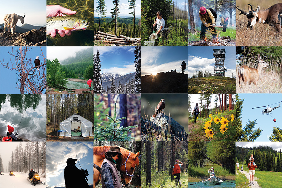
After years thrashing out the details of a proposed management plan for the Flathead National Forest, a new blueprint emerged during the government shutdown to guide a wide range of uses on 2.4 million acres of ecologically and economically productive land for the next 15 years or more.
Officials with the U.S. Forest Service, many of them furloughed as the government shutdown plods into its third week, released the final environmental impact statement for the new forest plan, a 2,000-page document that calls for new wilderness, an increase in timber harvest, new recreational opportunities, and strategies for future wildlife management.
Land managers hope the final product will strike an accord that balances wilderness, timber production, recreation, wildlife conservation, and other interests, but said divisions will undoubtedly prompt objections from user groups in the next two months.
Still, although he acknowledges that land-use disputes will continue as long as public land exists, Flathead National Forest Supervisor Chip Weber said the proposed plan considered the needs of all stakeholders — tree huggers and tree cutters, hikers, horsemen, mountain bikers, snowmobilers, cabin owners, boaters, anglers, grizzlies, and nearly everyone else with a stake in the management of public lands on the Flathead National Forest.
Among its many proposals, the forest plan recommends 190,000 acres of land for inclusion in the National Wilderness Preservation System, including the Jewel Basin, the Tuchuck-Whale areas and additions to the Mission Mountain, Great Bear and Bob Marshall wilderness areas.
It provides for timber output of approximately 28 million board feet annually on 637,419 acres of “suitable timber base.” In comparison, the 2006 proposed revision plan identified 529,000 acres of “suitable timber base” and the 1986 plan identified 707,000 acres.
It identifies 22 rivers and streams — stretching a total of 276 miles — that are eligible for protection under the National Wild and Scenic Rivers System. Those streams include the Danaher from the headwaters to Youngs Creek; Big Salmon from Lena Lake to the South Fork Flathead River; and Spotted Bear, from the headwater to the South Fork Flathead River.
Because the Flathead National Forest spans a large chunk of the Northern Continental Divide Ecosystem, home to the largest population of grizzly bears in the Lower 48, the plan also includes a separate document that will be instrumental in guiding management of the bears when grizzlies are delisted from the Endangered Species Act.
Two conservation groups critical of the forest plan are the Swan View Coalition and Friends of the Wild Swan, both of which said the proposal rolls back protections for threatened and endangered species like bull trout and grizzly bears.
Keith Hammer, chair and founder of the Swan View Coalition, formed the group during the contentious period when the 1986 forest plan was being crafted. He said the new plan does less for fish, wildlife and habitat, taking a step backwards in terms of conservation.
The sheer size of the Flathead National Forest ranks it as the 10th largest national forest in the U.S., but the significance of its role in the region’s cultural, economic and ecological landscape is difficult to quantify, such is its vast importance.
In a nod to U.S. Forest Service’s founder, Gifford Pinchot, the plan seeks “the greatest good” for the Flathead’s wild interior over the next decade or more, and proposes a historic makeover of its broad management strategy, which hasn’t been updated since 1986.
After more than five years of public meetings and analysis, including more than 33,000 comments on the draft environmental impact statement, the agency released its final environmental impact statement (EIS) and record of decision for the Flathead National Forest Land and Resource Management Plan, or forest plan.
The latest edition is designed to guide management decisions for 10-15 years after it is formally adopted.
The environmental impact statement and other documents are the Flathead National Forest website at: https://www.fs.usda.gov/detailfull/flathead/landmanagement/planning/?cid=stelprdb5422786&width=full