‘Potentially Historic’ Atmospheric River to Drench Northern Rockies
Fluctuating snow levels are expected to bring multiple waves of “rain-on-snow” events to northwest Montana, with inches of rain in the valleys and feet of wet snow to high elevations as river basins become stressed
By Maggie Dresser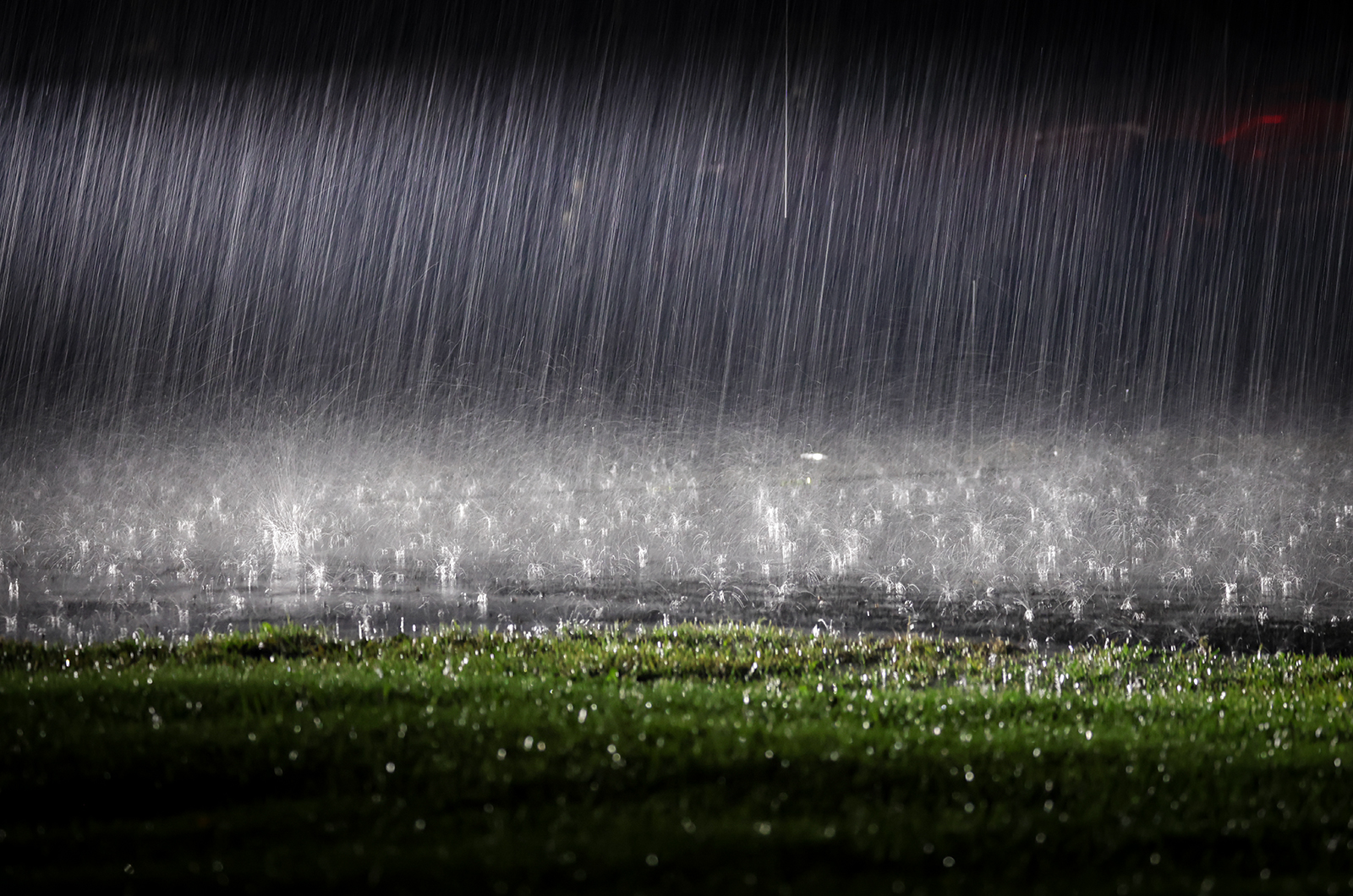
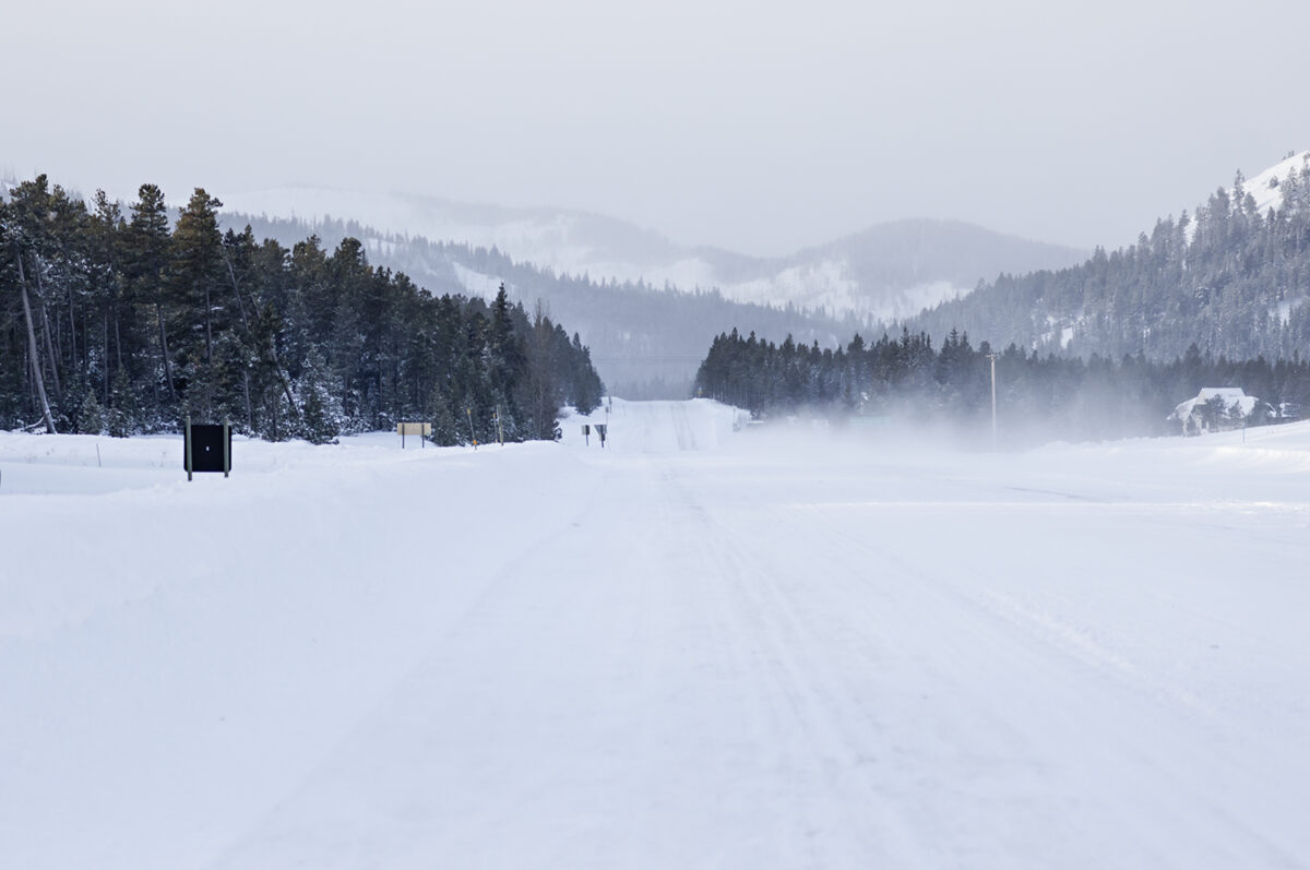
As multiple rounds of atmospheric rivers flow across the Northern Rockies, the National Weather Service (NWS) has issued a flood watch in northwest Montana with “potentially historic” volumes of moisture that could bring inches of rain to valleys and feet of snow in the mountains.
A deep plume of subtropical moisture on Monday afternoon surged into the region, which is expected to bring heavy rain and wet snow combined with gusty winds of up to 60 mph at high elevations. Snow levels will rise to 7,000 feet tonight, leading to a “rain-on-snow” scenario for mid-elevations with moisture levels at “near all-time maximums” for early December, according to NWS.
This “firehose of warm, subtropical air” is forecast to drench northwest Montana and central Idaho with 4 to 8 inches of rain at high elevations and 2 to 4 inches in valleys.
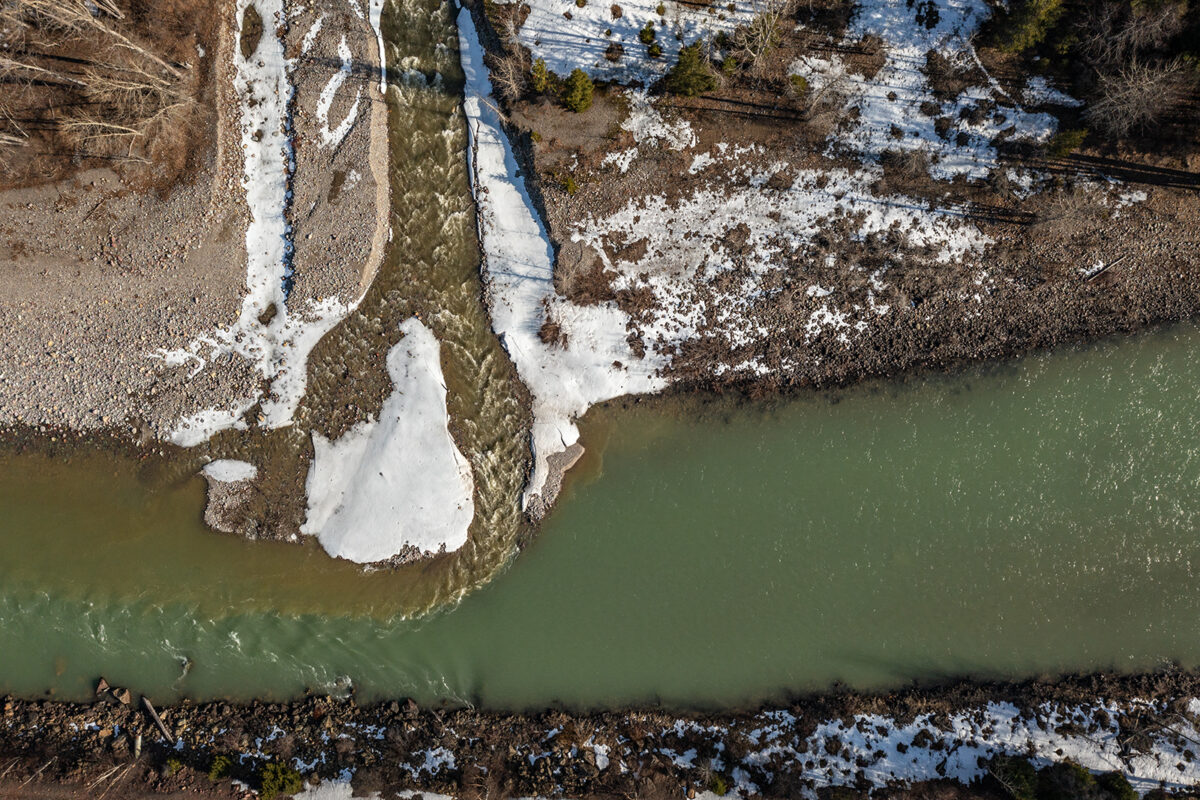
Meteorologists expect the system to melt the existing low- and mid-elevation snowpack, combining runoff with rainfall to rapidly swell waterways, stressing river basins “far beyond” winter norms.
According to the National Water Prediction Service, the Middle Fork Flathead River is expected to hover around 2,000 cubic feet per second (cfs) by the weekend, far exceeding its median flow of around 700 cfs for this time of year. The Flathead River is expected to jump to roughly 7,000 cfs, which is higher than where it typically sits at around 4,000 cfs in December.
Temperatures are anticipated to fluctuate throughout the week, with a weak cold front moving through the region on Tuesday, dropping the snow line to an elevation of roughly 4,000 feet before snow levels rise again on Wednesday.
“Snow levels will be rising at times, and we’ll have rain onto snow and back and forth,” NWS meteorologist Travis Booth said in a weather briefing.
Wind advisories are in effect on Tuesday, with west-southwest winds gusts of up to 40 mph in valleys, bringing a risk of downed trees and power outages.
Weather models show the atmospheric river lasting into Friday as snow levels drop across northwest Montana.
“Certainly, Marias Pass stands out Thursday into Friday with arctic air banking to the divide,” Booth said. “It could be kind of treacherous.”
In the backcountry, Flathead Avalanche Center officials expect the danger to rise rapidly with a foot of dense snow at high elevations expected with each wave of moisture.
Up to 2 feet of snow is forecast at Whitefish Mountain Resort through Thursday while more than 3 feet is expected in the Jewel Basin along with more than 4 feet at Logan Pass in Glacier National Park.