Cameras Around Lake Tahoe Change Fight Against Wildfires
Early detection triggers quicker, cheaper, more tactical suppression than traditional war-like operations
By Molly Priddy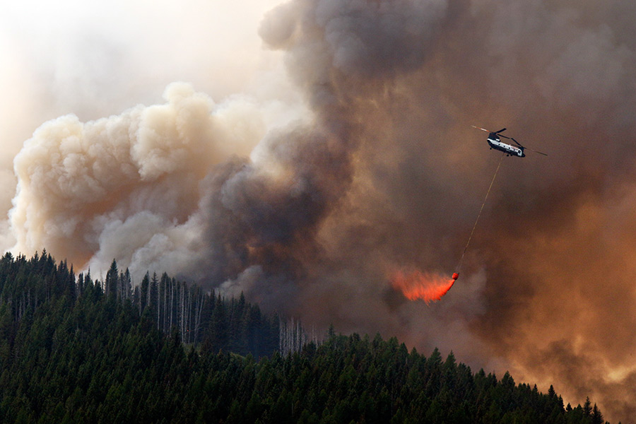
RENO — A growing network of cameras trained on the mountains around Lake Tahoe is changing the way crews fight Western wildfires by allowing early detection that triggers quicker, cheaper, more tactical suppression than traditional war-like operations, experts said Wednesday.
The high-definition cameras can be operated remotely to pan, tilt and zoom in the search for the first wisps of smoke in remote areas, said Graham Kent, director of the Nevada Seismological Laboratory.
Equipped with real-time and time-lapse imagery, the cameras piggyback on an existing network that detects earthquakes, Kent told the annual meeting of the Seismological Society of America in Reno.
Last summer, a half-dozen of the hazard cameras at Tahoe were credited with the discovery of six fires and provided early intelligence on more than 25, Kent said.
“The old style of firefighting is like storming the beach at Normandy, but if you can get on a fire early, with special tools, then it becomes more like a special forces situation,” Kent said. “Firefighting is going to become much more tactical.”
He said he’s currently working with firefighters in Idaho and Montana to develop similar networks.
Frank Vernon, a research geophysicist at the Scripps Institution of Oceanography at the University of California, San Diego, began developing the “virtual fire lookout towers” in 2002 when he and others built a large-scale, wireless network in Southern California.
It now includes more than 64 fixed mountaintop cameras in 16 remote locations across San Diego, Riverside and Imperial counties.
“Working with partners to provide this technology to the community is vitally important as extreme drought conditions, warmer weather and more frequent Santa Ana wind events have all contributed to increased wildfire activity and longer fire seasons each year in Southern California,” Vernon said.
The multi-hazard function of the cameras is especially valuable to communities such as Lake Tahoe and Reno that border wildlands,
“The big three for us are floods, fires and earthquakes,” said Kyle West, safety and training manager in Reno. The city is located in Washoe County, where officials recently updated their hazard mitigation plan.
Kent said officials hope to have more than 20 of the cameras up and operating by the end of this year.
“The notion of fire cameras has been out there for 20 years. But they were mostly closed circuit, analogue systems with poor resolution,” Kent said.
The video feeds are available to state, local and federal firefighters and can be viewed by the public on the AlertTahoe Web site (http://alerttahoe.seismo.unr.edu/).
University of Nevada, Reno scientists are working on technology to use “machine vision — to teach computers to spot the fires without humans,” Kent said.
“We’re sort of crowd-sourcing lookout towers,” he said. “Anybody in this room, if they are feeling anxious or just have a premonition, they can go onto AlertTahoe, right click on the camera pane and see the time lapse. We could have hundreds of people searching for fires at any one time — people who are just basically concerned.”