A familiar and troubling trend is re-emerging this spring as warmer-than-average temperatures are driving rapid snowmelt and fueling concerns for the approaching wildfire season.
The average temperature in Kalispell last month was the third warmest on record dating back to 1900, according to the National Weather Service. The average temperature in April was 49.3 degrees Fahrenheit, 5.7 degrees warmer than average. Only April 1934 and April 1930 were warmer since the agency began keeping records. In terms of daily high temperatures, April was the warmest on record with an average of 64.1 degrees.
April saw above-average precipitation in Kalispell, according to the NWS. A total of 1.58 inches fell last month, 0.34 more than normal.
May and June are typically the wettest months of the year, and any moisture would certainly be welcome in this corner of the state, where drought is lingering from last year’s hot, dry spring and summer. Lake and Glacier counties are experiencing severe drought, according to the state’s drought monitor, while Flathead County is under an alert as “moderately dry.”
This latest seasonal weather is similar to a year ago, when spring was the warmest and summer was the driest on record in the Flathead Valley. The conditions helped fuel the region’s worst fire season in over a decade.
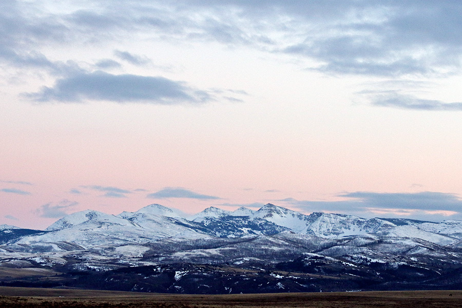
This latest string of warm temperatures has taken a toll on Montana’s mountain snowpack, according to data from the USDA’s Natural Resources Conservation Service.
Sunny and warm days overwhelmed cooler and wet periods during the month, causing snowmelt to begin ahead of schedule across the state.
“Snowpack peaked during the first week of April in many of the state’s river basins,” said Lucas Zukiewicz, NRCS water supply specialist. “This year’s peak was weeks earlier than average.”
At 14 measurement locations west of the Continental Divide, the amount of snowmelt during April was the most on record. At 10 SNOTEL sites, April’s snowmelt was the second highest on record.
“When you look across the state, higher elevation snow measurement locations continue to have snowpack that is 45 to 95 percent of normal, while lower elevation sites melted by May 1,” Zukiewicz said.
The El Nino weather system is causing above-average to record-breaking temperatures this spring, which is causing the snowpack to transition to melt one to three weeks earlier than normal. Forecasts from the Climate Prediction Center indicate the warm weather will persist, impacting the timing of snowmelt and the volumes of flows in the rivers and streams.
The timing of runoff is critical to water users in the state. The mountain snowpack is the largest reservoir in the state, typically holding water into late spring and summer. This year’s early runoff means there will be less water in the system where reservoirs are not present, increasing the need for spring and summer precipitation.
The temperature and precipitation also play key roles in the severity of fire season. Recently, U.S. Forest Service Chief Tom Tidwell said Montana could be faced with another extreme fire season due to lingering drought conditions and weather systems.
Last week DNRC Director John Tubbs and other wildfire officials briefed the governor’s office about the potential fire season, predicting a normal season across most of Montana. Dry conditions in the southwestern and northwestern parts of the state could lead to heightened activity, though, according to officials.
“Given that in a typical year, at least half of all fires are human caused, we always put a lot of emphasis into reminding people to be careful when they’re camping and to be aware of fire conditions and restrictions,” DNRC Spokesperson John Grassy said.