Significant Rainfall, Cold Temperatures to Hit Northwest Montana
Rock and mudslides could likely occur in Glacier National Park on Going-to-the-Sun Road
By Beacon Staff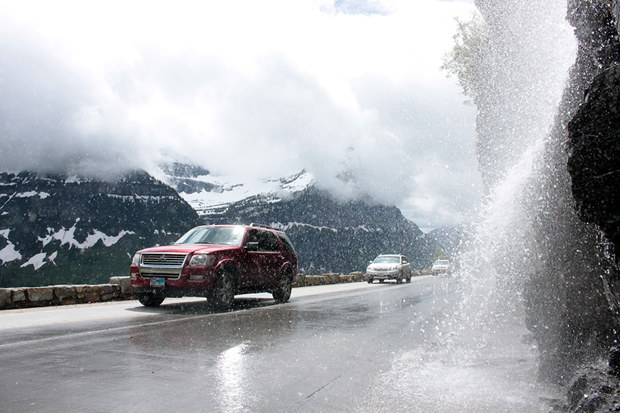
The National Weather Service is forecasting a cold, wet storm system will hit Northwest Montana this weekend.
An unseasonably cold, wet storm will produce significant rainfall near the Continental Divide of Northwest Montana, Sunday through Monday, according to the NWS. Snowfall is expected in the higher elevations and rock and mudslides could occur in Glacier National Park on Going-to-the-Sun Road. Hypothermia danger could emerge with steady cold precipitation as the daytime temperatures drop to 40 degrees.
The greater Glacier Park and Bob Marshall region west of the Continental Divide are expected to be impacted with 48-hour rainfall totals of 1 to 3 inches. Also, snow levels are anticipated to occur as low as 6,500-feet elevation in the Bitterroots, Sapphires, Pintlers, Bob Marshall and Swan Range and 7,000 to 8,000 feet in the Mission Mountains and Glacier National Park from Sunday into early Monday. Daytime temperatures will be more than 25 degrees below the seasonal average.
The NWS advised anyone camping, hiking and spending time in the higher terrain areas should be prepared for this colder precipitation event with hypothermia becoming a real threat to those exposed. Also, lower visibility can be expected at higher elevations.