With summer upon us, residents of the Flathead Valley are beginning to pursue their outdoor adventures in earnest, and while our Thoreauvian instincts tempt us to shuck off the constraints of technology, don’t underestimate the power of technology in the woods.
A suite of handy apps for your smartphones and devices can help with navigation, identifying birds or flowers, checking stream flows, and enjoying the star-scape.
Here are a few we recommend.
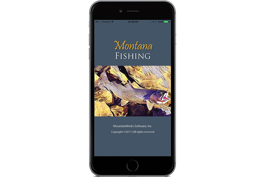
Montana Fishing (iOS, Android, $4.99)
Fishing in Montana this year just got a whole lot easier thanks to a new smartphone app called Montana Fishing, although that’s not to say it will improve your catching.
Still, the app, released by Bozeman-based MountainWorks Software, gives anglers critical information about fishing access locations, flow rates and stream temperatures, the types of fish that abound in a particular river and how to identify them, figures about whether the flows have changed significantly, as well as info about nearby fishing shops and shuttle services.
The app offers anglers an intuitive, easy-to-use, all-in-one, no-connection-needed guide to fishing in Montana.
Every Montana Fish, Wildlife and Parks fishing access site and campground is shown, as well as U.S. Forest Service and BLM sites.
The app also links fishermen to every USGS river gauging station in the state, making critical flow and temperature data available at the user’s fingertips. It includes the full catalog of Montana fishing regulations and provides the dates of FWP stocking activities, including the size and number of fish stocked.
Download the app and go fish.
Glacier Wildflowers (iOS, Android, $7.99)
This digital guide to the region’s flora presents more than 300 wildflowers, grasses, shrubs, and trees you’re likely to encounter in Glacier National Park, and is the product of a partnership between High Country Apps and the Glacier National Park Conservancy.
By marrying technology with an appreciation of nature, its creators hope to encourage the digital generation to go outdoors.
The app functions without data once installed, and a percentage of the proceeds benefit the conservancy.
PeakFinder (iOS, Android, $4.99)
The mountains are calling, but do you know their names? You do now.
With PeakFinder downloaded on your smartphone or device, you’ll have access to more than 300,000 peaks, from Mount Everest to Nasukoin Mountain, the highest peak in the Whitefish Range.
Sky Guide (iOS, $1.99) and Sky Map (Android, free)
Your stargazing experience just got a lot more interesting with these easy-to-use star apps.
Is it a star or the planet Mars? The Andromeda Galaxy or the constellation Virgo?
Knowing what’s up in the night sky is effortless with Sky Guide and Sky Map, which work without Wi-Fi, cellular service or GPS.
Trailforks (iOS and Android, free)
This comprehensive app breaks down every slice of public trail on the landscape. This top-rated app uses Google satellite imaging to show the difficulty level of each trail, the distance and elevation gain. There’s the ability for users to post photos, notes and other trail reports that help inform riders before they hit the single track. Best of all, this app is free.
