Rivers are constantly changing course, hence the saying about not being able to step in the same one twice.
But on the Flathead River and its three tributaries, that change has been mounting on numerous fronts since 1980, which is the last time its comprehensive river management plan was reworked.
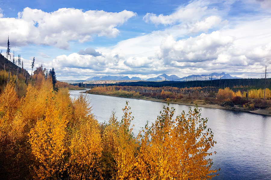
Managers with the Flathead National Forest, in coordination and partnership with Glacier National Park, have begun the process to prepare a new Comprehensive River Management Plan (CRMP) for the three forks of the Flathead River — the North, South and Middle forks, which all bear federal designations under the Wild and Scenic River Act.
As resource managers pool public input through a series of collaborative monthly meetings that run through October, they’re touching on areas affected by four decades of change, a period that has ushered in the arrival of oil-loaded freight trains rumbling along the river corridor, new flotation devices like packrafts and stand-up paddle boards that crowd the crystalline channels, and a tourism industry bustling with visitors eager to get out on a rafting trip.
The thrust of the new plan is to capture the growing diversity of uses and their impact on the river’s resources, including its water quality, the wildlife its habitat supports, its cultural and ethnographic significance, its fisheries, geology, botany, scenery, and recreation.
The CRMP will address the current status of these resources, outline goals and desired conditions, determine user capacities, and create a monitoring strategy and plan to carry forward.
Chris Prew, the Flathead National Forest’s recreation program manager, said the abundance of resources and values on the three forks of the Flathead River require managers to consider a diverse suite of experiences when crafting the new plan.
Resource managers are encouraging the public to contribute to the planning effort in order to secure the river’s values for future generations, and want to hear from diverse stakeholders to achieve the most balanced strategy.
The next public meeting will take place Sept. 19 at the Hungry Horse Ranger District in Hungry Horse. The program runs from 5:45 p.m. to 8 p.m. and focuses on geology and botany.
Since the initial plan was written, numerous changes have occurred on the landscape hewn by the Flathead River and its three forks. For example, a kokanee salmon run that previously limited floating access during fall spawning has vanished with the explosion of predacious, invasive lake trout in Flathead Lake, which dramatically diminished the kokanee population, and the fish rarely reach zones where they previously stacked up in droves.
Grizzly bears in the Northern Continental Divide Ecosystem spanning all three forks of the Flathead are poised to be delisted from the Endangered Species Act list, a change that could lead to any number of management policy changes along the rivers.
Bald eagles were listed as a threatened species when the original management plan was crafted, and it made a concerted effort to protect nesting habitat and reduce floating pressure on eagles feeding on fish.
Meanwhile, the three forks of the Flathead each possess unique characteristics that need to be considered in the management plan.
The North Fork of the Flathead separates the Flathead National Forest to the west from Glacier National Park to the east, running from the Canadian border to Columbia Falls. It’s also governed by divided management plans depending on which bank of the river you’re on.
The Forest Service side follows Montana state law, which allows camping anywhere below the high water mark. Glacier Park, however, only allows permitted backcountry camping.
The Middle Fork of the Flathead springs out of the Bob Marshall Wilderness Area, and is reached by using a backcountry airfield or pack strings. When it departs the Bob Marshall and flows beneath U.S. Highway 2 east of Essex, its wilderness status changes to recreational. The change is noticeable as its day use explodes, and outfitters and floaters crowd the corridor, using multiple access points along the highway.
The South Fork also begins in that rugged chunk of wilderness, then flows into the Hungry Horse Reservoir. While a portion of its free-flowing section can only be accessed solely by aircraft or trail, another section can be reached by driving along the reservoir.
For more information, call Flathead National Forest Recreation Program Manager Chris Prew at (406) 758-3538. Updates can also be found at www.fs.usda.gov/detail/flathead/