Flathead County Prepares Community Wildfire Protection Plan
Officials say plan will offer a “road map” for thinning projects that reduce fire risk
By Justin Franz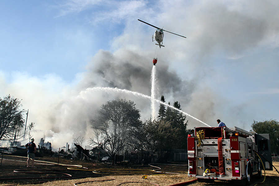
As yet another fire season heats up in western Montana, officials in Flathead County are working on a revised Community Wildfire Protection Plan that will provide information for fire managers and residents.
Flathead County Fire Service Area Manager Lincoln Chute said the document will give officials a “road map” to critical thinning projects meant to reduce the risk of fires.
“This is a document that is going to give local residents and fire managers a lot of information,” Chute said.
Flathead County previously prepared community protection plans in 2005 and 2011, but Chute said the revised version will be far more extensive. The 61-page document is currently a draft, but Chute hopes to have it finalized over the winter in time for the 2020 fire season. It’s being written in coordination with a number of stakeholders, including local, state and federal fire managers. Firesafe Flathead, a coalition of individuals, neighborhoods, businesses and fire managers dedicated to promoting fire-adapted communities and fire-resilient landscapes in the Flathead, is also playing a major role in creating the document.
The community protection plan splits Flathead County into five distinct areas: the valley floor, including the populated areas between Flathead Lake and Whitefish; the west side of the valley, including the U.S. Highway 2 corridor and everything west of U.S. Highway 93; the west side of the Whitefish Range; the North Fork and Glacier National Park; and finally the southeast corner of Flathead County, stretching from Bigfork to Marias Pass. Chute said it was important to split the county into zones because of the differences in landscape type and development. For example, how a community prepares for or fights a fire is different on the populated valley floor than in the less-populated area between Bigfork and Marias Pass, which is predominantly remote public land.
Each section includes a description of the landscape and historic fire behavior in that specific area. For example, on the west side of the valley, fires have historically been driven by winds from the southwest. The section also includes information about the fire departments responsible for each area, critical infrastructure in a specific area (highways, railroads, major power lines, etc.) and a rundown of major past fires in that area. Chute said that last part is particularly important because past fires offer a preview of how future fires might burn.
“We can learn a lot from old fire scars,” he said. “There is a lot of value in learning that history.”
Lastly, each section suggests areas that should be at the top of the list for future fuel treatment projects. In the North Fork, that means the area from Trail Creek north to the Canadian border, which has not burned since 1988.
Ali Ulwelling, fire prevention specialist for the Montana Department of Natural Resources and Conservation (DNRC) who helps manage Firesafe Flathead, said homeowners can do plenty of work before fire season to prepare their homes for wildfire. Ulwelling suggests cleaning gutters, keeping trees and brush back from your house and knowing what you need to bring with you in an evacuation before you have to leave. People can learn more at firesafeflathead.com and firewise.org.
“There are lots of simple things people can do to be ready right now,” she said.