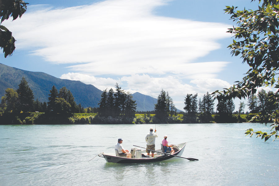
Good news for people looking forward to a summer on the water: Northwest Montana has the best snowpack and water supply outlook in the state.
The U.S. Department of Agriculture’s Natural Resources Conservation Service (NRCS) released its most recent Water Supply Outlook Report on June 1, which showed that Lower Clark Fork Basin, an area that includes Noxon Reservoir in Sanders County, had the state’s highest snow-water equivalent at 151% of normal, followed closely by the Kootenai at 140% and Flathead at 129%.
Since the report’s release, those figures have only improved to 226% for Kootenai, 158% for Lower Clark Fork and 152% for Flathead as of June 11, boosted by cool weather slowing meltoff and helping prolong the snowpack. The NRCS calls Northwest Montana’s summer streamflows the “highlight of the state.”
By comparison, the Bitterroot basin is already confronting the prospect of low summer flows with a snowpack at 17% of normal as of June 11. The report warns that without continued precipitation, water users in the Bitterroot area “could experience shortages in supply through the summer months.” The Jefferson (44%) and Madison (38%) basins are also lagging.
Those figures are worse than in the June 1 NRCS report, although all three basins were already well below historical norms. Other basins in Montana also have snow-water equivalents of less than normal, although not as dramatically, including Gallatin and Upper Yellowstone.
The U.S. Drought Monitor already lists portions of the state as “abnormally dry,” including areas of southwestern Montana in “moderate drought” stages with a forecasted summer of above-normal temperatures on the horizon.
The NRCS noted that Montana saw weather patterns in May that ranged from cool and wet to anomalously warm and dry, and the areas that were hit with abnormally warm weather during the last week of May experienced rapid snowmelt in the mountains, contributing to a number of basins quickly losing snowpack.
The sudden runoff came after three weeks of cool and wet weather in river basins west of the Continental Divide, which had produced gradual snowmelt up until that point. River basins east of the divide, on the other hand, had experienced dryer weather patterns over that same three-week period, according to Lucas Zukiewicz, NRCS water supply specialist for Montana.
“Some basins in southwest Montana (Jefferson, Madison, and Gallatin) experienced well below average precipitation for the month of May,” Zukiewicz said on June 1. “Fortunately, temperatures hovered near seasonal normals and snowmelt was typical for this time of year during the first three weeks of May. However, the last week of the month and first week of June were game changers.”
As temperatures across the state increased to “well above normal” during the last week of May, Zukiewicz said the warm spell “may have redefined our late summer water resources in some river basins east of the Divide.”
“The abundant sunshine and well above average temperatures paired with overnight temperatures above freezing at high elevations resulted in a significant amount of the remaining snow water in the snowpack being released into the river systems,” Zukiewicz said, adding that streamflows surged to the minor flood stage along some river systems, although widespread flooding was not reported.
The NRCS report noted that the rapid snowmelt, which depleted high-elevation stores faster and earlier than is ideal, “will decrease the long-term availability of snow water to river systems later this summer.”
“The early pass-through of water on non-reservoir-controlled systems means that less water will be available when irrigation demand is highest later in the summer, making irrigators more reliant on summer precipitation, which typically declines through the summer months,” the report stated.
While snowmelt accelerated in basins west of the Continental Divide in late May, cool April and early May weather in the Kootenai, Flathead and Lower Clark Fork basins, along with May precipitation, had helped to maintain snowpack and even added snow water to the mountain “reservoir” in the form of snow and rain.
“Summer streamflows in this region are the highlight of the state, and summer volumes look to be near to above average for the June 1 through September 30 period,” Zukiewicz said.