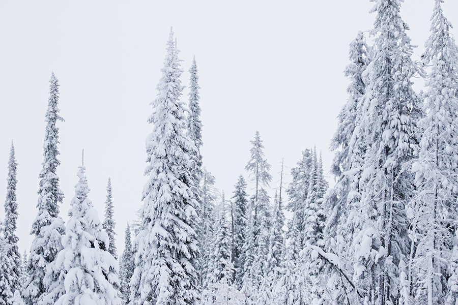
Abundant snowfall in February, including record-setting amounts in a number of basins, boosted snowpack from lagging to robust in a “dramatic comeback,” greatly improving the prospects for average or better streamflows in most Montana river basins, including the Flathead.
Those promising revelations are courtesy of the U.S. Department of Agriculture’s Natural Resources Conservation Service (NRCS), which released its most recent Water Supply Outlook report on March 5. The report offers the year’s first official streamflow forecasts from the NRCS.
Following the state’s wet and snowy February, during which some locations west of the Continental Divide added up to 16 inches of water to its snowpack, forecasts now “indicate an increased likelihood of near to slightly above average spring and summer stream flows across the state.”
“The Bitterroot, Upper Clark Fork, Lower Clark Fork, southern Flathead, Gallatin and Shields River basins had monthly snow totals which were record-setting, or near record-setting at some mountain locations,” NRCS water supply specialist Lucas Zukiewicz said. “While the other river basins didn’t set new records for February snowfall, monthly totals were well above normal for almost all river basins in the state.”
Most of the annual streamflow in the Western U.S. originates as snowfall that has accumulated high in the mountains during winter and early spring. As the snowpack accumulates, hydrologists estimate the runoff that will occur when it melts. Streamflow forecasts are coordinated by NRCS and National Weather Service hydrologists.
“Predictions are based on careful measurements of snow water equivalent at selected index points,” the NRCS states. “Precipitation, temperature, soil moisture and antecedent streamflow data are combined with snowpack data to prepare runoff forecasts.”
Even with the improvements in snowpack, some regions of Montana remained slightly below normal as of March 1 due largely to a lack of early-season snowfall in December and January. Those areas include the Little Bitterroot, Kootenai Mainstem and Stillwater River basins in Northwest Montana, as well as the Ruby River basin in Southwest Montana.
Zukiewicz said the streamflow forecasts for the Beaverhead and Ruby rivers in Southwest Montana are “well below average for the coming spring runoff season,” although there’s plenty of time for conditions to improve.
“Spring storms in this region can make up a lot of ground quickly, so the story is far from over,” he said, with the caveat that “if those storms fail to deliver, the current snowpack won’t go far.”
The NRCS notes that one to two months remain until the snowpack peaks and runoff occurs. Peak snowpack at lower elevations typically occurs in late March to early April, while mid to high elevations peak during April or early May.
“As such, April 1 snowpack totals will give us a clearer picture of what to expect with regards to our peak snowpack and how full the mountain snowpack ‘reservoir’ is before it starts draining,” Zukiewicz said.