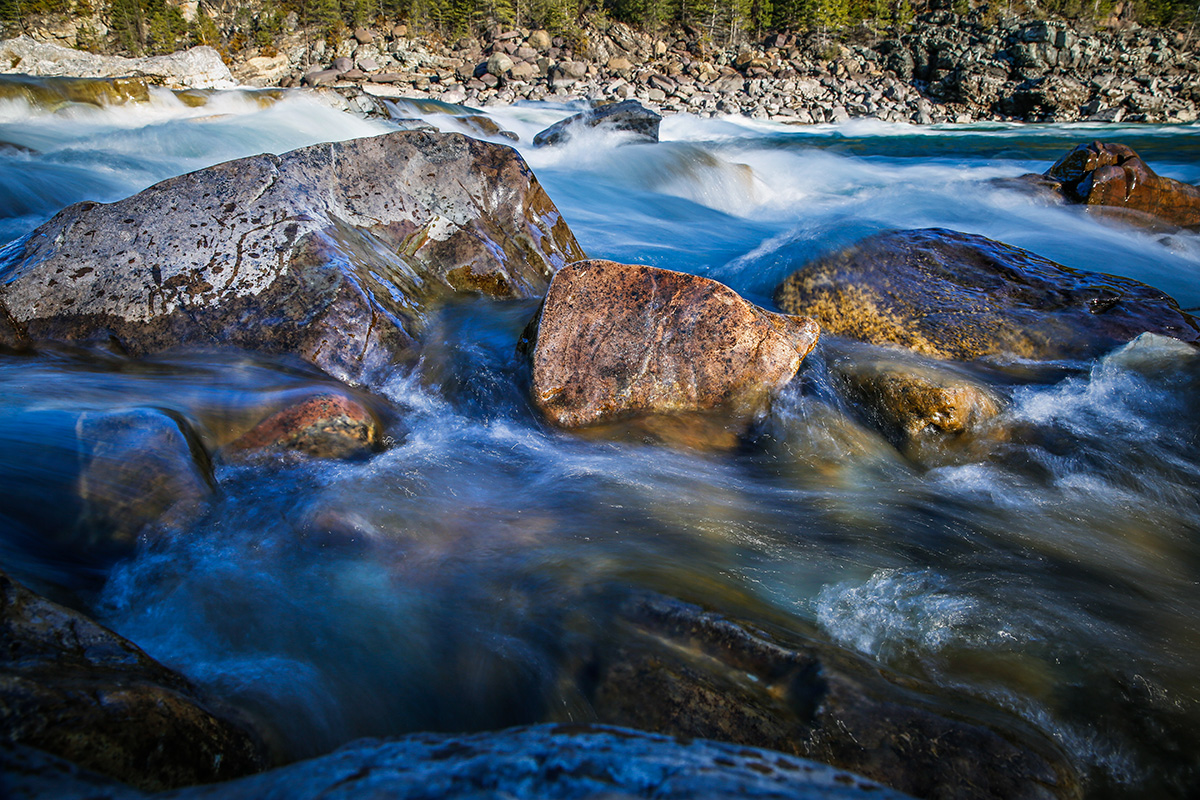
Portions of the Flathead River Basin and the Rocky Mountain Front saw significant precipitation in two mid-May storms, adding needed snow to the remaining upper-elevation snowpack after two months of well below-average precipitation, according to United States Department of Agriculture’s Natural Resources Conservation Service (NRCS) data.
SNOTEL sites near Seeley Lake and Lincoln revealed record May precipitation, while portions of the Clark Fork River Basin, northeastern Beartooths and Central Montana received well below-average precipitation.
This year ranked as Montana’s 15th wettest May on record and the wettest since 2018.
“The snowpack in the state peaked early and at below average levels in most locations,” acting NRCS Montana Water Supply Specialist Mage Hultstrand said in a press release.
The Upper Clark Fork, Upper Bitterroot and Bighorns peaked above average, which will sustain streamflows this summer, while mid- to lower-elevation snowpack melted slightly ahead of schedule due to warm temperatures in April.
May precipitation increased forecasted streamflow volumes for portions of the Flathead and Rocky Mountain Front Range river basins, but many southwest Montana river basins remained below average.
“The Jefferson and Madison river basins, which have been a concern for most of the season, did receive good precipitation from the storms in May but it was not enough to make up for the water year deficits from the lack of precipitation in March and April,” Hultstrand said.
Warmer than normal temperatures and below normal precipitation are forecasted for the short-term and long-range forecasts, according to NOAA’s Climate Prediction Center.
For real-time snow survey data, visit www.nrcs.usda.gov.