As Quartz Fire Grows in Glacier Park, Firefighters Work to Snuff Out New Blaze on West Flattop
The lightning-caused Quartz Fire burning in the northwest corner of the park has prompted trail and backcountry campground closures; West Flattop fire reported after Aug. 21 lightning storm
By Tristan Scott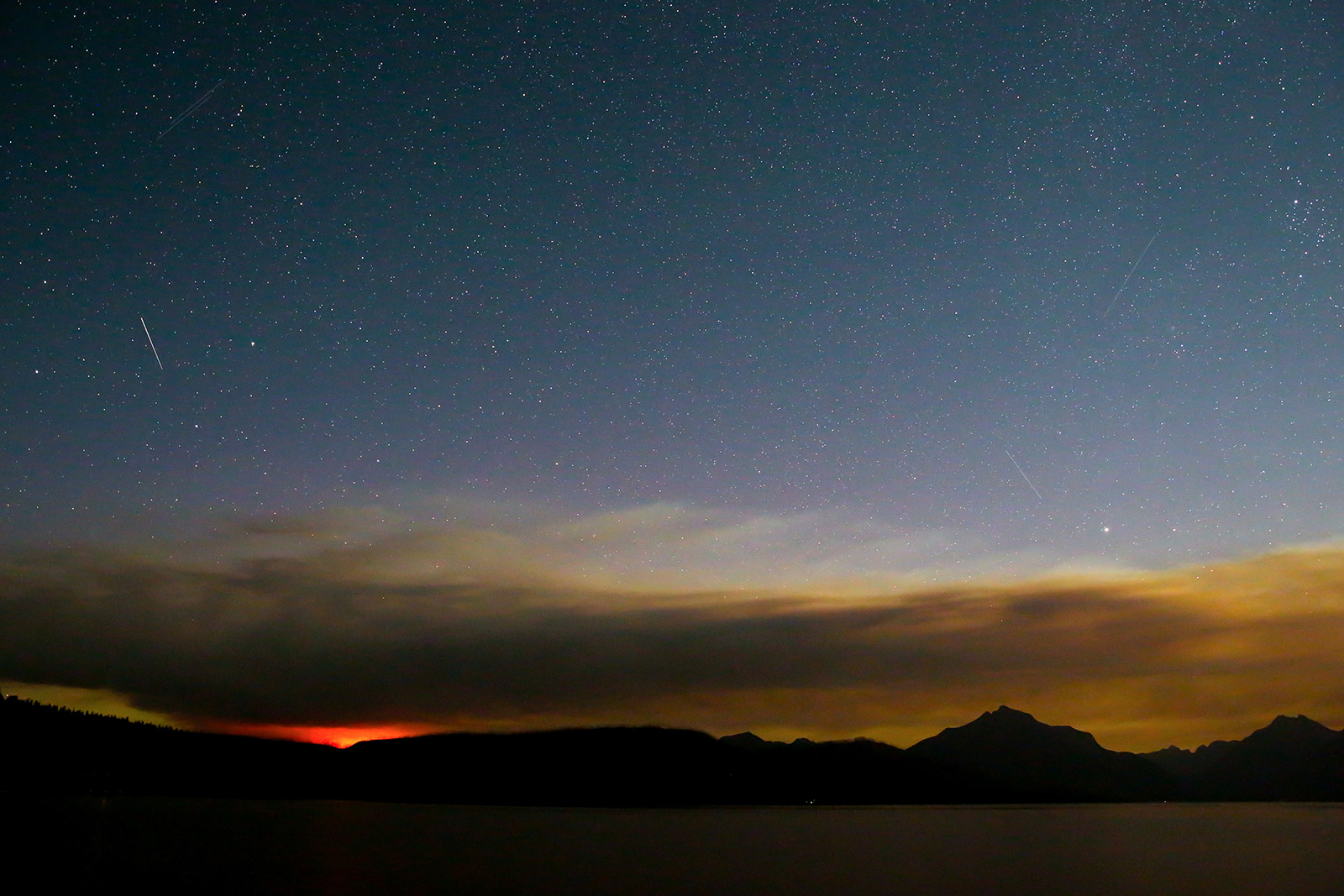
The Quartz Fire burning in the Livingston Range of Glacier National Park continued to spread over the weekend after prompting trail and backcountry campground closures, with wildland firefighters employing a “confine and contain” strategy aimed at minimizing risks to firefighter and public safety.
Management of the 1,678-acre lightning-caused Quartz Fire has transitioned to a Type 3 Incident Management Team, with 25 personnel assigned. Although suppression efforts are not underway on the fire as it burns in steep, remote and inaccessible terrain, it is being closely managed and monitored, fire officials said.
On Aug. 21, the fire spread to the south and west, moving further down the Quartz Lake shore, with additional growth in a high basin on the northwest side of Logging Mountain. On the north end, the fire remains east and south of Quartz Creek. Fire crews on Aug. 22 reported completing efforts to protect the historic Quartz Lake Patrol Cabin, wrapping the structure in fire-resistant material while laying hoses with pumps and sprinklers. Firefighters remain at the location to finetune protection efforts and evaluate fire behavior.
The Quartz Fire was first reported the morning of Aug. 14 by a firewatcher stationed at Cyclone Lookout along the North Fork Flathead River. Initially confined to a high elevation on the west side of the Continental Divide, where it posed little risk to resources or infrastructure, the Quartz Fire spread as east-northeast winds pushed it to the west and southwest within the Quartz Creek drainage.
Both the Quartz Lake Loop Trail and the Quartz Creek Trail are closed, as are the backcountry campsites at Quartz Lake and Lower Quartz Lake. The area is accessed from Bowman Lake and the Polebridge Entrance Station.
Meanwhile, a new lightning-caused fire start was reported Aug. 21 on West Flattop Mountain in the Lewis Range, near Fifty Mountain Campground in Glacier’s north-central region.
According to Glacier Park Public Information Officer Diane Sine, smoke from the West Flattop Fire was first observed from Swiftcurrent Lookout at 4:37 p.m. Sunday after an afternoon lightning storm. The lightning was accompanied by rain, and fire growth was limited to one-tenth of an acre.
Three Glacier National Park firefighters were inserted into the area via a Flathead National Forest helicopter Monday morning to suppress the fire on West Flattop Mountain, Sine said. Glacier National Park, along with interagency partners from the Flathead National Forest and Blackfeet Tribe, will continue to patrol for any additional fire starts from Sunday’s storm.
According to Sine, the decision to ferry firefighters into the West Flattop Fire was based on its accessibility, as well as its potential to run north into the Waterton Valley.
“The number-one incident objective on any fire is to limit the risks to the public and firefighter safety,” Sine said.
Elsewhere in northwest Montana, the Elmo Fire burning near Lake Mary Ronan, which just weeks ago was the top priority in Montana, is mostly a smoldering swath of burnt land. The fire is at 78% containment and remains at 21,349 acres.
A few miles north of Hot Springs, the Garceau Fire showed minimal growth over the weekend, and is holding at 6,725 acres with 40% containment. There are currently 340 personnel assigned to the operation along with substantial aerial support.
The Redhorn Fire, burning seven miles northeast of St. Ignatius in the Mission Mountain Tribal Wilderness, has seen minimal growth in recent days.
Lake County and the Flathead Indian Reservation remain in Stage 1 Fire Restrictions.
In the Spotted Bear Ranger District of the Bob Marshall Wilderness, the Cannon Fire, first detected on Aug. 7, has grown to nearly 1,384 acres, prompting recreation closures in the area. Portions of Forest Service Trail #107, 115, 218, 226, 493, and 693 are closed in the area. A map identifying the closure area can be found online and seen below.