Hydrologists Expect Average Streamflows in Northwest Montana
A near normal snowpack in the Flathead River Basin and the Swan, Whitefish and Flathead mountain ranges will likely lead to average streamflows during spring runoff
By Maggie Dresser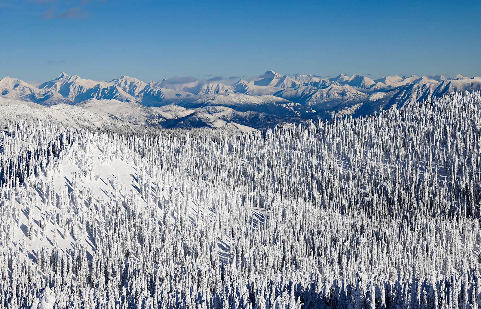
River basins in northwest Montana are seeing near normal snowpack levels as the Swan, Flathead and Whitefish mountain ranges continue to see steady snowfall, and experts are forecasting average streamflows through July, says Eric Larson, a hydrologist with the USDA Natural Resources Conservation Service (NRCS).
The snowpack in the Swan and Mission ranges are slightly more robust this winter, Larson said, with the snow water equivalent (SWE) levels in Noisy Basin at 110% of normal based on the median percentage between 1991 and 2020. Moss Peak in the Mission Range received a “highly significant” storm at the end of February, resulting in 4.5 inches of SWE – the amount of liquid in the snow. Noisy Basin in the Swan Range reported 5.6 inches of SWE from a storm cycle that began on Feb. 21.
The Flathead River Basin is slightly below normal, at a SWE level of 95%, as of March 8.
“November and December were big precipitation months, but October and January were down across northwest Montana,” Larson said. “There was only 50% of the monthly precipitation, so that’s what’s driving it down.”
Larson says the snowpack in Glacier National Park is slightly below normal with 85% of normal snowpack. On March 1, the Flattop Mountain weather station read 88 inches compared to 112 inches on the same date in 2022.
To the west, the Lower Clark Fork River Basin was below normal with 88% as of March 7 while the Bitterroot River Basin was at 83%.
“The precipitation has been down on the Idaho border and the further north you get,” Larson said. “The flows are currently forecast to be 80% to 90% of normal for April through July.”
But while upper elevation snowpack is below normal or near normal, there has been consistent measurable snow on the valley floor at Glacier Park International Airport in Kalispell. As of March 8, there were 108 consecutive days with snow on the ground, tied for the tenth longest streak on record, according to an airport weather station at an elevation of 2,972 feet. The record for the longest streak is 141 days on March 30, 1956, according to Flathead Avalanche Center forecasters.
As average snowfall continues in northwest Montana, streamflow forecasts this year are expected to be near normal on the Flathead River, along with the middle, north and south forks.
“With forecasts on March 1, there is still some uncertainty a month or two away from our peak SWE season and conditions could change in either direction – last year was a good example of that,” Larson said.
Last spring’s unseasonably cool temperatures delayed runoff by a month, with high elevation snowpack peaking in late May instead of late April. The Flathead Valley saw record rainfall and flooding in June, prompting road closures and evacuations. Kalispell measured 2.07 inches of rain in a single day, surpassing the previous daily rainfall record of .87 in 1973. The Noisy Basin SNOTEL site in the Swan Range saw an accumulation of 40 inches within a few days, holding nearly 9 inches of SWE.
The Yellowstone River flooded in southwest Montana, wiping out roads and bridges and prompted Yellowstone National Park closures at all entrances.
But an above normal spring runoff does not mean flows will say strong through the summer, Larson said. Last year, the Middle Fork of the Flathead River streamflow was near normal in May, well above normal in June and flows returned to normal by August.