Below Average Streamflows Expected in Northwest Montana
The Flathead River Basin snow water equivalent levels are at 91% of normal while southwest and central Montana have above average levels
By Maggie Dresser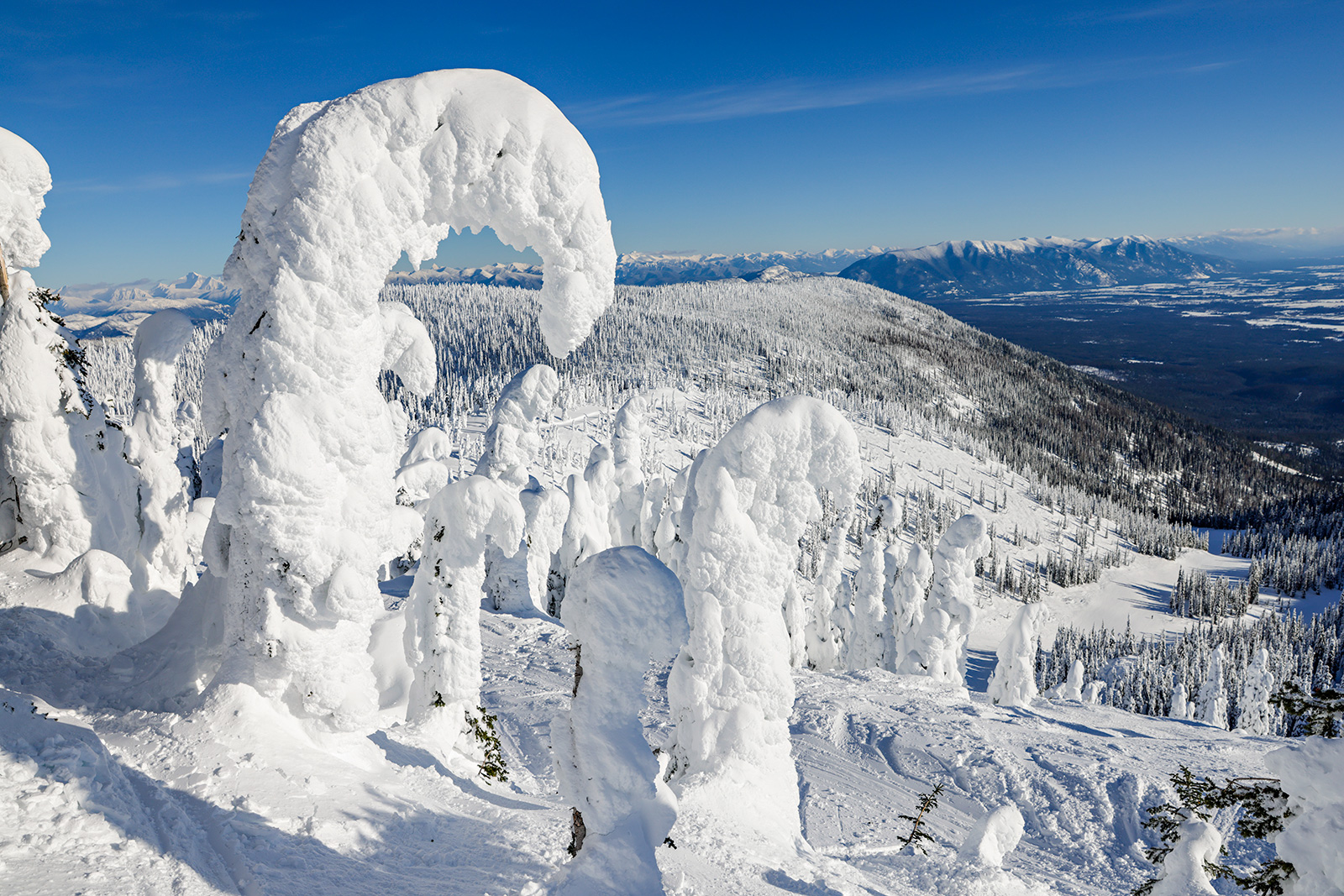
While much of the West experienced historic snowfall and precipitation this winter, northwest Montana lay just outside the path of the weather systems, furnishing the region with a below-average snowpack and leading hydrologists to predict a below-normal streamflow this spring.
“Northwest Montana and the northern Kootenai and Flathead river basins have been missing out this year,” said Eric Larson, a water specialist with the U.S. Department of Agriculture’s Natural Resources Conservation Service (NRCS).
As of April 14, the snow water equivalent (SWE) levels in the Flathead River basin were at 91% of normal based on the median percentage between 1991 and 2020. The Kootenai River basin was significantly lower at 79% and the St. Mary River basin was at 84%.
Last month’s lack of precipitation was especially detrimental to the total snowpack in northwest Montana and Larson said snowpack percentages decreased in the Flathead and St. Mary basins. Kootenai river basin SWE levels were only 50% to 70% of normal.
“We’re still dealing with a lack of snow at upper elevations in northwest Montana,” Larson said.
As of April 11, Stahl Peak in the northern Whitefish Range had only 8 inches of SWE compared to the 38 inches it normally has on that date, Larson said.
“The Flathead River basin is very large, and the basin wide snowpack percentage is currently elevated by the deep snowpack in the southern Flathead region,” Larson said.
The low snow depths will likely result in below-average streamflow levels on the three forks of the Flathead River, according to the water supply outlook. The forecasts for the Middle Fork of the Flathead River near West Glacier is the second lowest in the last 10 years, with 2015 being the lowest and 2014 being the highest.
Most river basins in southwest Montana had above average SWE levels after receiving residual storm precipitation coming off the west coast’s frequent cycles of atmospheric rivers.
On April 14, the Madison River basin was sitting at 123% and the Jefferson, Gallatin and Upper Yellowstone river basins ranged from 116% to 109%. SNOTEL stations in the Gravelly Mountains, the Highwood Mountains, the Bighorn Mountains, and the Bear Lodge Mountains had the highest April 1 snowpack on record.
Streamflow forecasts in the southern Beaverhead, Madison and Gallatin counties range from about 120% to 180% of normal.
Meanwhile, in the Bears Paw mountains in north central Montana, the Milk River basin is sitting at 531% of normal SWE as of April 14, which caused the region to enter a flood advisory in recent days.
Larson said the Rocky Boy weather station in the Bears Paw set a record of 10.5 inches of SWE on April 11. On the same date, the snow depth was 28 inches compared to one inch the year before.
According to the U.S. Drought Monitor, the Hi-Line region has been designated a D2 drought status, the highest in the state, but Larson said the above average snowpack should help the area this year.