Northwest Montana Snowpack Lags Behind Rest of State, Historic Norms
Both the Kootenai and Flathead river drainages are at 80% of normal, well below the same time last year when snowpack exceeded 150% of normal
By Tristan Scott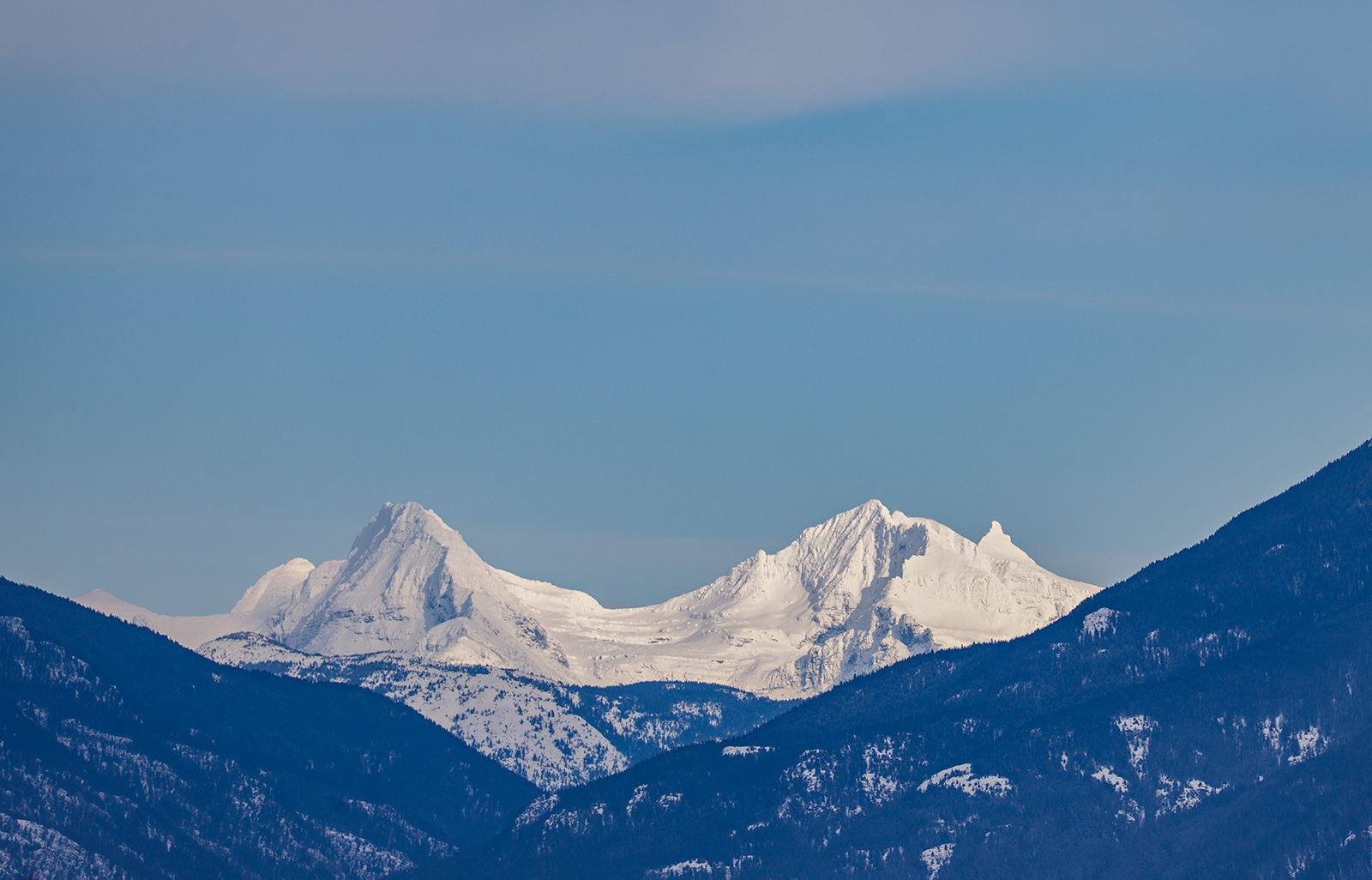
Water supply specialists have pegged snowpack totals in the Kootenai and northern Flathead river basins at about 80% of normal, marking a steep decline from last year, when those basins registered a May 1 upper-elevation snowpack exceeding 150% of normal.
That’s according to experts with the U.S. Department of Agriculture’s Natural Resources Conservation Service (NRCS), which monitors snowpack to predict spring runoff, flooding, irrigation, and even to forecast wildland fire behavior.
Eric Larson, an NRCS water supply specialist, delivered the assessment after two months of above-normal precipitation typified springtime weather for much of Montana, adding to the totals in some regions.
“In typical Montana fashion, last month’s weather consisted of a combination of sunny days, winter weather, and rain,” Larson said.
The most notable storm occurred between April 18-22 and delivered 20 to 30 inches of dense snow to upper elevations in the northern Swan Mountains, central Montana and portions of southwest Montana, Larson said.
In general, the specialist reported that snowpack is near normal further south on the west side of the Continental Divide, and above normal in the Upper Clark Fork River basin.
“Overall, sunny days outweighed that storm last month and precipitation was below normal in all but the mountains surrounding Butte, Lewistown, Helena, and Havre,” according to Larson.
April precipitation in those basins was about 120-150% of normal, he said. The Sun, Teton, Marias and Bighorn River basins received near normal precipitation, while elsewhere in Montana only received 70-90% of normal April precipitation.
The snowpack on the east side of the divide is notable in some locations, particularly in central Montana and portions of southwest Montana, where snowpack percentages are over 130% of normal, approaching a record high for May 1. The Jefferson, Gallatin, Upper Yellowstone, Bighorn, Powder, and Tongue River basins have received closer to normal precipitation and the basin-wide snowpack currently ranges from about 110-130% of normal.
The Rocky Mountain Front snowpack is currently about 75-90% of normal.
“The snowpack at all SNOTEL stations appears to have peaked for season, however, future weather could change that at upper elevations,” said Larson.
Current snow water equivalent peaks compared to normal vary significantly across the state. High elevations in the northern Flathead and Kootenai River basins peaked at about 35 inches of snow water equivalent, which is 10 inches less than normal. SNOTEL stations at all elevations in the southern Madison, southern Jefferson, and central Montana exceeded normal peaks by roughly three to seven inches of snow water equivalent. Elsewhere east of the divide, peaks were generally within one to two inches of normal except at lower elevations where Tie Creek SNOTEL, Short Creek SNOTEL, and Cole Canyon SNOTEL set record high peaks this year.
April temperatures were mostly below normal, but several days of above normal temperatures were observed statewide. This warm weather was enough to push valley and low mountain elevation snowmelt into full swing. The snowpack at those elevations was substantial in some locations this year and that was shown when several of Montana’s rivers on the east side of the divide exceeded flood stage.
“Snowmelt at upper elevations has just begun and we are now at the mercy of the weather in terms of how fast that snow melts,” said Larson.
Seasonal water supply forecasts are now available on the USDA-NRCS webpage. They currently trend with water year precipitation and snowpack conditions, and therefore vary significantly across Montana. Forecasts are the lowest in northwest Montana, where they range from 60-90% of normal in the Kootenai River basin, Flathead River basin, and tributaries of the Lower Clark Fork River. They are highest in the southern Jefferson where forecasts are over 170% of normal. Further north in the Jefferson and into part of central Montana forecasts range from about 120-140% of normal.
A full report of conditions on May 1 can be found in the monthly Water Supply Outlook Report available on the Montana Snow Survey website. In addition, real-time snow survey data can be found at nrcs.usda.gov/montana, scroll to “Popular Topics,” “Montana Snow Survey Program.”