Low Streamflows Expected in Northwest Montana
Weather stations in the region reveal that an already shallow snowpack melted out about 30 days earlier than normal, leading water supply specialists to forecast below-average streamflows through September
By Maggie Dresser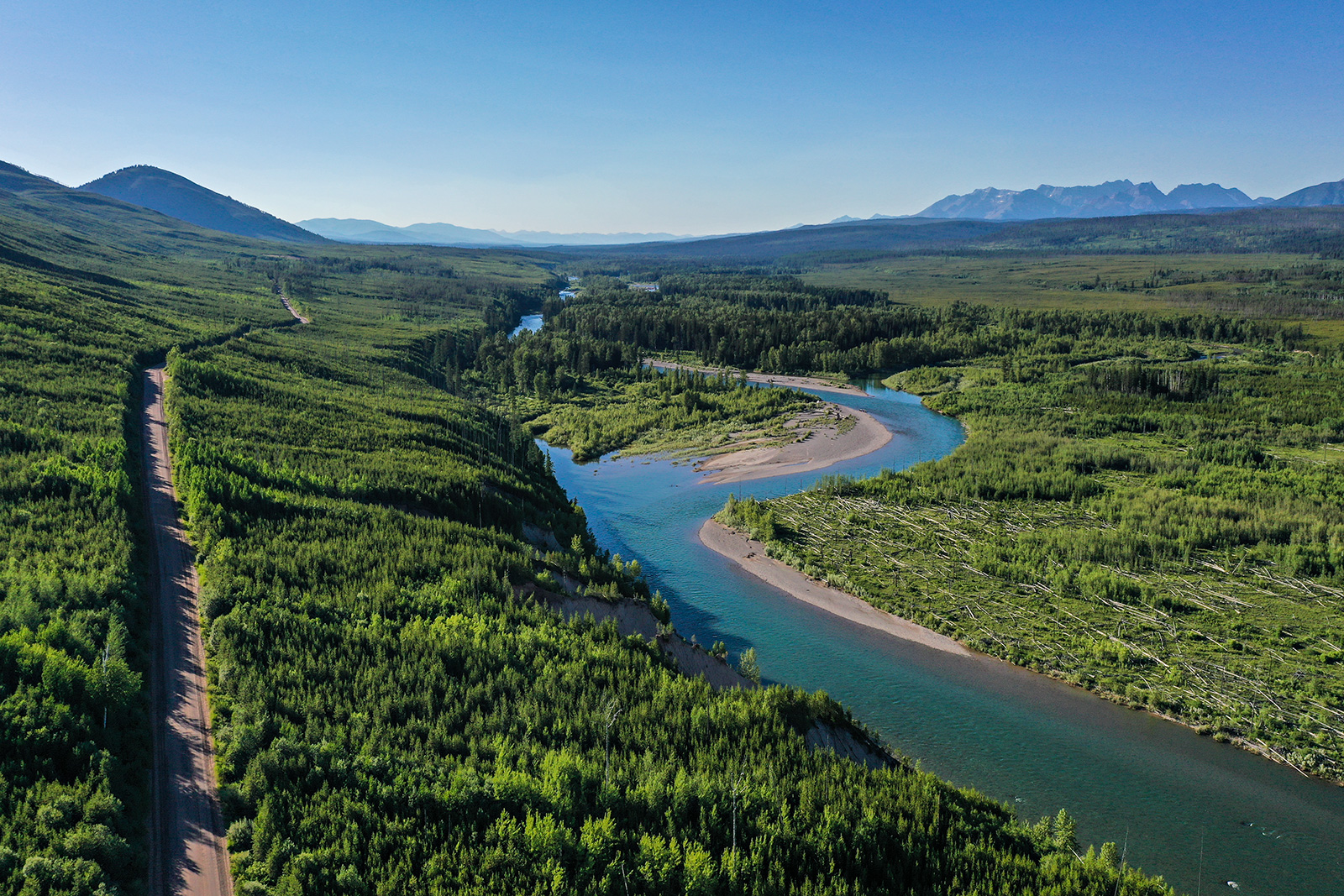
Following below-average precipitation in northwest Montana this winter and an above-average melt rate this spring, water supply specialists say the streamflows on all forks of the Flathead River will likely be less than 60% of normal through September, according to the USDA Natural Resource Conservation Service (NRCS) water supply outlook.
NRCS water supply specialist Eric Larson said the northern portion of the Kootenai and Flathead River basins and the northern Rocky Mountain Front experienced a well-below normal snow season compared to an above-average season in southwest Montana.
From late December to early May, several weather stations northwest of Flathead Lake only received 4 to 7 inches of precipitation, about 50% of normal and the lowest on record.
This spring, river basins in the northern Flathead and St Mary river basins only received 1 to 2 inches of precipitation in May, about half of normal.
In early May, low precipitation and warm temperatures dropped already low percentages quickly and the snowpack in the Whitefish and Flathead ranges melted out 30 days early. Other weather stations throughout the state melted out about 10 to 20 days early.
“If it seems to you like the snow disappeared quickly this spring, you’re not wrong,” Larson said in a news release.
According to weather data, Stahl Peak, which sits at 6,030 feet in the northern Whitefish Range, did not see a single day in May with a low temperature below freezing and it saw 17 days with a maximum temperature above 70 degrees. The SNOTEL site melted out on May 31 – setting a record.
As of June 9, the snow water equivalent (SWE) levels in the Flathead River basin was at 9% of normal based on the median percentage between 1991 and 2020. The Kootenai River basin and the Sun-Teton-Marias river basins were at 0% while the St. Mary river basin was at 2%.
While northwest Montana experienced below-average precipitation this season, southwest Montana saw an above-average winter and SWE levels were 110% to 140% of normal through May 1. However, rivers in the southern part of the state also experienced warm temperatures and a lack of precipitation, resulting in a drop in SWE levels.
“On May 1, the NRCS May-July water supply forecasts estimated streamflows to be within about 10% of normal or greater for most of Montana,” Larson said. “Since some of the snowmelt that was expected to occur in June already occurred in May, the recently published June-July forecasts have reduced volumes from what they would have been if May streamflows were normal.”
Despite the low streamflow forecasts in much of the state, the Beaverhead, Ruby, Smith, Boulder, Musselshel and Madison rivers are expected to have streamflows over 120% of normal through September.
“Regardless of location, above normal precipitation would be ideal in June before heading into the drier months of summer, especially given the rate at which the snowpack melted out this year,” Larson said.