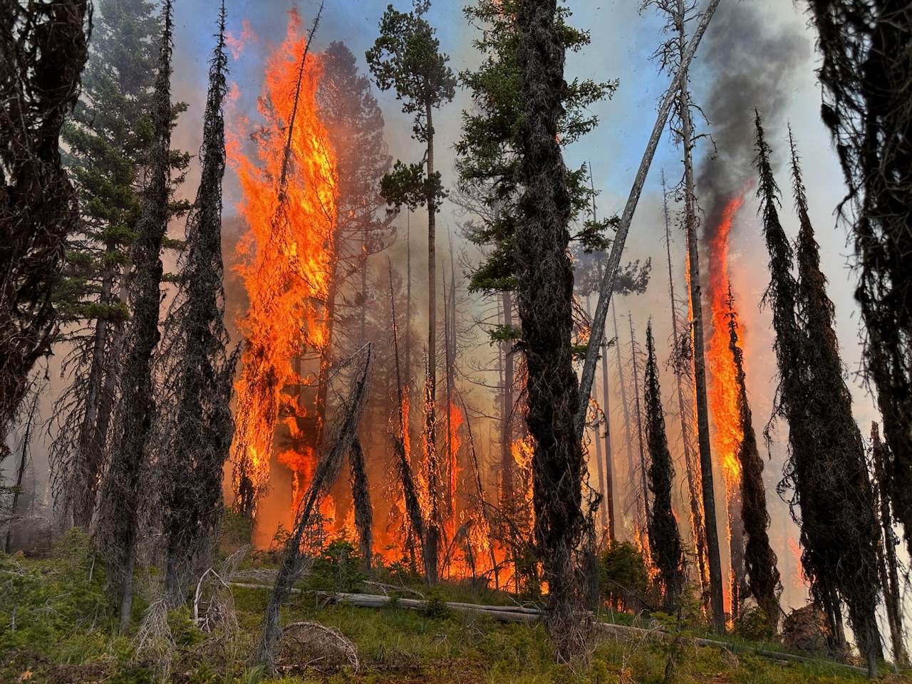
The National Weather Service issued a Red Flag Warning for parts of northwest Montana on Monday, indicating high winds and low humidity that will contribute to critical fire weather conditions as crews battle the region’s first major fire near Seeley Lake.
The Colt Fire, a lightning-caused blaze that was first reported on July 18, has burned 2,927 acres in the Flathead and Lolo National Forests, according to infrared mapping flights conducted Sunday night. The fire is burning roughly 12 miles northwest of Seeley Lake, between Lake Alva and Lindbergh Lake, and has prompted evacuation orders along Highway 83 between mile marker 27 and 31 and additional evacuation warnings in the area. Roughly 33 structures are considered threatened at this time.
A Complex Incident Management Team took command of the Colt Fire on Sunday morning with 412 total personnel assigned to the fire, including five helicopter crews and several fixed-wing aircraft. Over the weekend, crews were supported by multiple CL-215T “Super Scooper” planes out of Missoula. Fire officials issued a reminder for anyone recreating along Lindbergh and Seeley lakes to steer clear of fire aircraft when they are scooping water for firefighting efforts.
In addition, a temporary flight restriction is in place around the Colt Fire, which applies to unmanned aircraft systems and drones. Flying a drone in restricted airspace can prevent aerial firefighting operations.
According to Monday’s fire operation update, crews will prepare indirect fire lines on the northeast side of the fire, and continue conducting assessments and preparations for structure protection along Highway 83 and around Rainy Lake, Lake Alva and Lake Inez.

The Missoula County Sheriff’s Office has issued evacuation orders and alerts in the area including:
- Mile marker 31 (Beaver Creek Road at the intersection of Highway 83) south towards Seeley Lake to mile marker 27, and including residences in Rovero Flats, are under an Evacuation Order.
- Residents on Beaver Creek Road (near the summit) are under an Evacuation Warning.
- Residences beginning at mile marker 27 (south end of Rovero Flats) to mile marker 25.5 (the intersection of the West Fork of the Clearwater Road and Highway 83) are under an Evacuation Warning.
- Residences on the north and south ends of Lake Inez are under an Evacuation Warning. The east side of Lake Inez, along Highway 83, is not under any Warning or Order.
For evolving evacuations and warnings, visit the Missoula County Sheriff’s Office Facebook page at https://www.facebook.com/MissoulaCountySheriffsOffice. Authorities say residents should be aware that due to the possibility of rapidly changing conditions, an evacuation order may be issued with no prior notice or warning. Home and property owners in the surrounding area should remain vigilant and prepared, the sheriff’s office warned, encouraging them to have an evacuation plan for family, pets, and livestock; sign up for emergency alerts at Smart911.com; and be familiar with the Missoula County evacuation process and what an order and warning means. More information is available at https://www.missoulacounty.us/government/public-safety/office-of-emergency-management/evacuation-information.
The Lolo and Flathead National Forests have closed several forest roads, areas, and campgrounds near the fire area for public safety. The list of current closures includes:
- Forest Road 906 (closed at Highway 83)
- Rainy Lake Campground access road 4357 (closed at Highway 83)
- Rainy Lake Campground
- Alva Lake Campground access road (closed by gate at Highway 83)
- Alva Lake Campground
- Lakeside Campground access road (closed by gate at Highway 83)
- Lakeside Campground
- Forest Road 646 (closed at the junction of FSR 552; FSR 4354
- Forest Road 552 (beyond the turn off to west side Lake Inez access
- Forest Road 5507 and 463 closed beyond the West Side snowmobile trailhead (these roads access the Montana Fish, Wildlife, and Parks Marshall Wildlife Management Area and Lake Marshall)
- Temporarily closing the Forest System Road loops of the Clearwater (FSR 4370 and 4353) and Richmond (FSR 667 and 720)
As of July 24 there were 29 active wildfires burning in Montana, 14 which started in the last week. The Colt Fire is the largest in the state, followed by the Bowles Creek Fire near Hamilton. Half of all fire starts in the state this year have been attributed to humans.
The Colt Fire is the largest wildfire incident in the Seeley-Swan Valley since the 2017 Rice Ridge Fire that burned more than 150,000 acres east of Seeley Lake into the Bob Marshall Wilderness. As of Monday morning, the Colt Fire incurred $6.5 million in firefighting costs.
