First Major Snow, Freezing Temps of Season Expected this Week Across Much of Montana
Snow expected to start Tuesday in western Montana, will move eastward across the state
By Blair Miller, Daily Montanan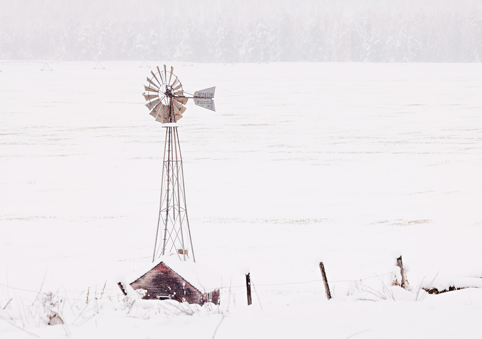
Most of Montana is likely to see its first major snowfall of the season this week and the first hard freezes of the season at lower elevations, according to Monday’s forecasts from National Weather Service offices across the state.
Winter storm warnings and winter storm watches go into effect Tuesday from the Continental Divide eastward across the Rocky Mountain Front, central and southern Montana, and east-central Montana for storms that could drop more than 4 inches of snow at lower elevations and more than a foot in some mountain locations.
Monday is likely the warmest it will be all week for most of the state as well, as a trough moves down from British Columbia and eastward starting Tuesday night, which will move across the state through Thursday.
“Forecast models have maintained their agreement that this will be a very cold and unsettled period,” NWS Great Falls meteorologists said in Monday’s forecast discussion.
Monday’s forecasts said there was a 50% chance of lower elevations through the central part of the state receiving at least 6 inches of snow Tuesday through Thursday, and at least a foot of snow in most of the central and southern mountains.
Further east, forecasters said there is a 70-85% chance for the Billings area east to Miles City to get at least 4 inches of snow.
Forecasters across the state said since many trees still have leaves, the heavy, wet snow forecast at the start of the storm could damage trees.
When even cooler temperatures, in the 20s and teens, set in during the latter half of the week, sprinklers with water still in them could be prone to freezing and bursting. And despite the warm weather this weekend, road temperatures are expected to be cold enough for snow and ice to stick, which could cause hazards on highways and Interstate 90, officials said.
Throughout central Montana, NWS Great Falls forecasters said there is a 90% chance that high temperatures will remain below 28 degrees starting Wednesday, along with a 50% chance temperatures will dip below 10 degrees across much of central Montana by Friday night.
Areas west of the Divide are likely to see less snow in the storm – 1-2 inches through Wednesday in the Flathead and Missoula valleys, and higher amounts on the passes, according to NWS Missoula office forecasters.
The cold air is expected to stick around through the weekend statewide, with daytime temperatures in the low-to-mid 30s and lows in the upper single digits to mid-teens and another inch of two or snow for parts of eastern Montana.
This week’s snowfall will be about on schedule with average first snowfall dates for northern, central and southwestern Montana – all of which typically happen between late September and the last week of October. Helena’s average first measurable snowfall is Oct. 13, while Great Falls’ is Oct. 2, Bozeman’s is Oct. 7, and Lewistown’s is Sept. 30.
The colder weather and snow could also be beneficial to hunters, who saw a slightly slower opening big game weekend than last year’s opener due in part to unseasonably warm weather, FWP said.
In west-central Montana, wildlife check stations saw 2,132 hunters who harvested 76 elk, 15 mule deer, 39 white-tailed deer and one black bear – all of which were slightly down from last year’s numbers.
“With the forecast for the week ahead including much cooler temperatures and snow in some locations, hunting conditions may change quickly, prompting more hunter success as animals begin to move around and into some lower elevation areas,” FWP said in a release.
This story originally appeared in the The Daily Montanan, which can be found online at dailymontanan.com.