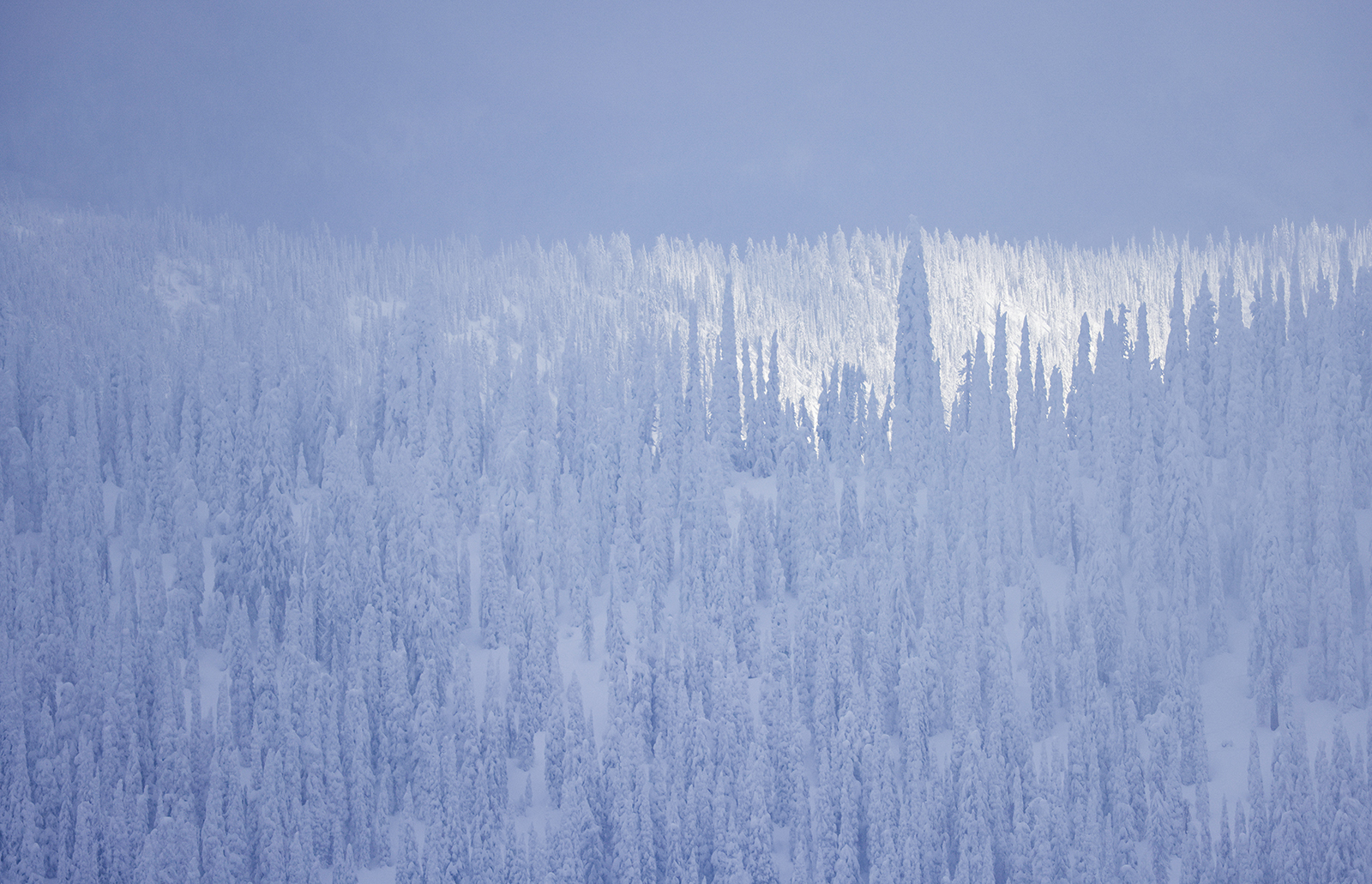
Winter Storms Bring Above-Average Snow to High Elevations
Recent precipitation has boosted northwest Montana’s snowpack, nearly doubling snow depths compared to last December, while a slew of human-triggered avalanches have been reported in the backcountry near Whitefish Mountain Resort
By Maggie Dresser
As the region’s mountain ranges continue to accumulate snow with storms flowing in and out of northwest Montana, more moisture is expected this week along with colder temperatures, valley snow, and elevated avalanche danger to ring in the new year.
In the past week, Whitefish Mountain Resort (WMR) has received nearly 2 feet of snow, bringing the settled base to 63 inches. The Noisy Basin weather station in the Swan Range has received 30 inches in that same time frame with a snow depth of 84 inches as of Monday afternoon. Blacktail Mountain Ski Area received a foot of snow overnight, bringing its depth to 32 inches.
Snow totals resulting from the most recent storm remains a mystery in the Flathead Range and in Glacier National Park following a power outage Sunday night, but the Tunnel Ridge station recorded more than 2 feet of new snow since Dec. 26 prior to the outage, according to the Flathead Avalanche Center (FAC).
Despite warm temperatures and valley rain, the snowpack across much of northwest Montana is outpacing last winter’s year-to-date totals.
On Dec. 30 of last year, WMR had a snow depth of 36 inches while Noisy Basin was at 38 inches. Blacktail Mountain Ski Area did not open until Jan. 16 due to the lack of snow.
According to the National Weather Service, occasional snow will fall over the next few days across the Northern Rockies, with heavier snow and near seasonal temperatures expected on New Year’s Day.
As of Monday night, widespread snow was expected to continue with more than a foot of precipitation forecast in the Flathead and Swan ranges following another active period and potential “arctic overrunning event” in northwest Montana, according to the National Weather Service.
The snow water equivalent (SWE) levels in the Flathead Basin are 105% of normal based on the median percentage between 1991 and 2020, as of Dec. 30. The Kootenai Basin is at 116% and the Sun-Teton-Marias Basin is at 66%.
SWE levels at the Stahl Peak weather station in the northern Whitefish Range are at 133% while Noisy Basin is at 126%.
Southwest Montana has experienced drier weather so far this season with Bridger Bowl’s snow depth at 45 inches and Big Sky Resort at 49 inches. The Gallatin Basin’s SWE levels are at 92% of normal while the Upper Yellowstone is at 72%.

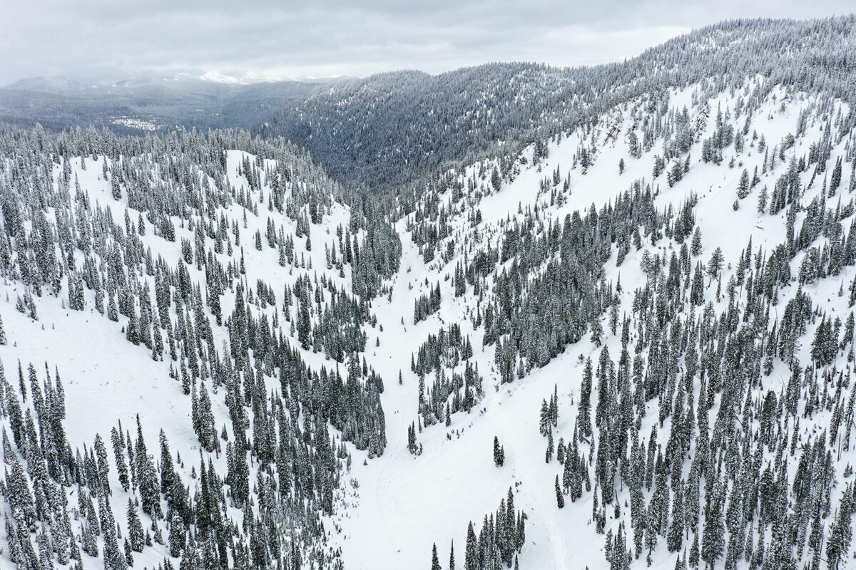
In northwest Montana, the recent snow has led to unstable avalanche conditions in parts of the backcountry, which resulted in multiple human-triggered slides in the WMR sidecountry east of the ski area boundary on Dec. 29, according to the FAC.
“We’ve had a series of rider-triggered slabs in the WMR sidecountry, including two-near misses and one accident,” FAC Director Blase Reardon wrote in Monday’s avalanche forecast.
According to the accident summary, two separate parties triggered two avalanches in the area known as Oz east of the resort. One rider was caught and carried in the slide before he was partially buried and pinned to a tree, but suffered no injuries. The three other riders at the scene were not caught or injured.
No rescue was required in the incident, but Reardon wrote in the summary that a previous accident in the same path occurring two decades ago involved a skier who suffered serious injuries that included a broken femur and a complicated night rescue.
Several other human-triggered avalanches were reported in various regions of the WMR sidecountry on Dec. 29.
For more information on avalanche conditions, visit www.flatheadavalanche.org.