Forest Officials Reopen Public Engagement Process on Long-awaited Flathead River Management Plan
The Flathead National Forest had hoped to complete a draft plan and environmental assessment by fall 2024 and make it available for public review. Instead, resource managers on Jan. 6 published a “proposed action” document setting forth user capacities and scheduled a pair of open houses for later this month.
By Tristan Scott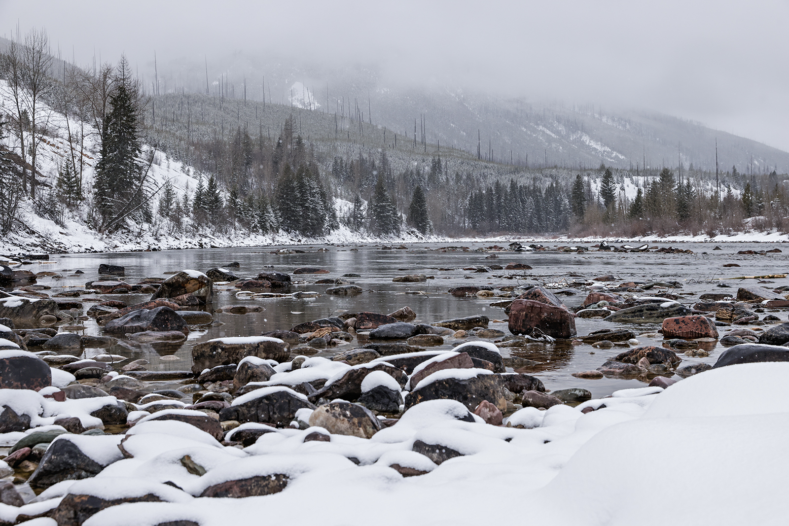
Resource managers tasked with managing the Flathead River’s three forks under the Wild and Scenic Rivers Act announced Monday they’re rebooting a public-engagement process despite falling short of a goal to have completed the draft plan and environmental assessment months ago.
The Flathead National Forest published its “proposed action” document for public review on the agency’s project website while project leaders laid plans to host a pair of open houses on Jan. 21 and Jan. 22 at 6 p.m. at the Flathead Valley Community College’s Arts and Technology Building. The public comment period will be open for 30 days, concluding on Feb. 7. Comments may be submitted electronically here.
The “proposed action” document is different than the draft river management plan, which was due out last fall but is still being developed. The document released Monday will be modified throughout the National Environmental Policy Act (NEPA) analysis process, according to Kira Powell, public affairs officer for the Flathead National Forest. Another round of public input will also be considered during the environmental analysis (EA), which Powell identified as the most likely level of analysis under NEPA.
Powell said she anticipated the agency releasing a draft of the plan, formally known as a Comprehensive River Management Plan (CRMP), in the summer of 2025, accompanied by the environmental analysis document.
“We were aiming to have the draft plan available in the fall, and we still hope to make it available as soon as possible,” Powell said Monday. “But since we are still developing it, we are really looking forward to releasing to the public the components of the plan that we have developed so far, and getting feedback on those components so that we can continue to refine them. We hope that can drive further development of a plan that meets the public’s expectations.”
Designated by Congress in 1976 under the Wild and Scenic River Act, the Three Forks of the Flathead Wild and Scenic River are currently managed under the 1980 Flathead River Management Plan. For the last five years, the Flathead National Forest and Glacier National Park have been updating the CRMP for a river system they cooperatively manage, while evaluating the significant increase of use (both on shore and by boat) and their obligation to protect the river system’s “Outstanding Remarkable Values” (ORV) as characterized by the federal legislation.
The Wild and Scenic Rivers System has three river classifications: wild, scenic and recreational. A single river or river segment may be divided into different classifications, depending on the type and intensity of the development and access present along the river at the time of designation.

On the Flathead River system, all three levels of classification exist along 219 miles of river corridor, with the management plan serving as a guiding document to protect and enhance the values identified in the original designation, which established a baseline. The last management plan was adopted in 1980.
The proposed action document released Jan. 6 lays out the Flathead National Forest’s nascent plan to update the CRMP, dividing each of the three forks into separate management units curated to offer different types of experiences depending on their Wild and Scenic designation, as well as where the respective segment of river falls on the “recreation opportunity spectrum” (ROS) — a system for classifying and managing recreation opportunities based on a set of criteria. For example, the section of the South Fork Flathead River that tracks through the Bob Marshall Wilderness Area would be managed differently than the section that does not, with one offering more solitude and the other more opportunities for recreation. Similarly, resource managers are proposing to break up the scenic-designated North Fork Flathead River into two management units based on the different types of experiences users expect, with one (more remote) management unit spanning the U.S.-Canada border to Polebridge, and the other (busier) section stretching from Polebridge to Camas Bridge.
On the Middle Fork, several portions of which see the highest levels of recreational use among all three forks, several management units would set different types of experiences and expectations.
The document also establishes recommendations for user capacities, including for floaters, shoreline users, outfitters and guides, and administrative use.
To do so involves a balancing act that uses “indicators,” “triggers” and “thresholds” to prompt management actions including permitting and limiting sizes of float groups and restricting outfitters. Managers use triggers and thresholds to help them set and evaluate levels of resource condition and user capacity with a prescribed monitoring plan that takes into consideration the unique characteristics of each of the river’s three forks.

However, officials emphasized that the estimates published in the proposed action document would not necessarily trigger management actions or restrictions.
“User capacity estimates are not restrictions on amounts of visitor use. Alternately, a user capacity is not mandated use level that should, or must, be met. A user capacity provides a sense of the kinds and maximum amounts of use that are most likely sustainable without causing degradation to river values,” the document states.
Currently, there is no user capacity identified for the three forks of the Flathead Wild and Scenic River system. If the final plan does adopt user capacities, it wouldn’t automatically require river closures, restrictions or permits if the capacities are reached; rather, it could trigger a review of that section of river.
The document identifies a range of capacity limits, with the section of the Middle Fork running from Cascadilla Creek to West Glacier (Management Unit 2) set at 1,100 people per day, and the section of river from West Glacier to the confluence with the South Fork capped at 1,280 people per day.

In cases where recreation is identified as the primary limiting factor, the user capacities were developed with a focus on “encounter limits” and group sizes, and relied on data gathered through river patrols and other surveys from 2009 to 2023. A detailed user capacity report, including methodology and existing use estimates, will be provided with the draft EA for review.
The document also lays out several recommendations to mitigate direct human impacts to natural resources, including prohibiting motor-vehicle camping or parking on gravel bars; requiring solid human waste containment within 200 feet of the river’s edge; and requiring a metal fire pan or fire blanket for campfires above and below the high-water mark within the Wild and Scenic River corridor on the North and Middle forks.
“These regulations will be huge to protect the river resource and give others a sense of discovery and not run into peoples’ old stale fire rings and [toilet paper and waste],” Shawn Baker, a long-time private boater who has participated in the CRMP’s development, said in an email.
The federal agencies currently manage the 219 miles of the Three Forks of the Flathead River under the vintage Flathead Wild and Scenic Comprehensive River Management Plan, as well as the Flathead River Recreation Management Direction, and the current editions of the Glacier National Park General Management Plan and the Flathead National Forest’s Forest Plan.
Work on the lengthy CRMP process got underway in late 2017 and the plan, along with an environmental assessment, was expected to be released for public comment in early 2020, followed by a final decision later that summer; however, staffing and funding issues forced a delay, while the coronavirus pandemic further disrupted progress.
To help members of the public brush up on a management planning process that only happens every two decades — and in this case has now spanned more than four — a nonprofit stakeholder group called the Flathead Rivers Alliance (FRA) formed with an education-driven mission.
According to Powell, the agencies view Monday’s announcement as an opportunity to begin seeking public feedback even as completion of the draft management plan and EA remains months away. Powell emphasized that public engagement remains a top priority as officials work to complete the plan.
Last May, officials announced they had recruited a project leader, Mary Greenwood, to steer the planning effort. Greenwood has experience with river management plans across the U.S. and joined the local planning effort from the U.S. Forest Service’s Wilderness, Wild and Scenic Rivers Program in Washington, D.C.