Temperatures to Plunge as Arctic Airmass Arrives in Northwest Montana on Friday
The cold front will move through the region at the end of the week, bringing negative temperatures to the Flathead Valley and wind gusts up to 100 miles per hour on the Rocky Mountain Front
By Maggie Dresser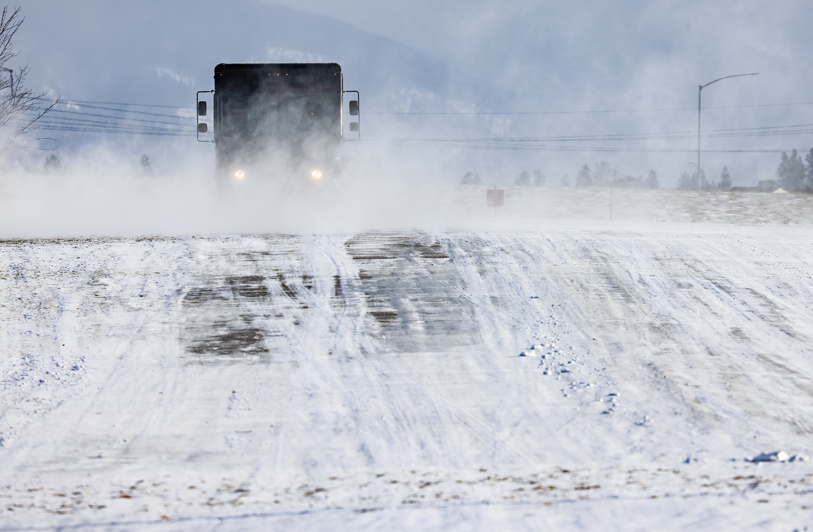
As valley inversions develop today in northwest Montana, a Canadian arctic airmass is on track to bring negative temperatures and “bitter cold” wind chills to the region on Friday before departing early next week, according to the National Weather Service.
The arctic front is expected to hit Kalispell by noon on Friday, bringing gusty east winds ranging from 15 to 35 miles per hour (mph), with the most dramatic wind speeds occurring near the Continental Divide.
Marias Pass could see gusts as high as 43 mph on Thursday night while “strong and damaging” winds are expected in Browning and the Rocky Mountain Front, with west southwest winds increasing to 60 mph with gusts as high as 100 mph. Temperatures on the east side of the divide are expected to drop by more than 50 degrees between Thursday and Sunday.
The Hi-Line and the eastern plains will see the coldest temperatures hovering around negative 20 degrees in Great Falls, Shelby and Havre.
As the arctic airmass pushes across the U.S.-Canada border, much of the country will be impacted by the front, with cold air plunging from the Northern Rockies and the Great Plains on Friday, crossing the Gulf Coast and the Midwest by Saturday followed by the Eastern Seaboard Sunday night.
In the Flathead Valley, a stronger push of arctic air is forecast Sunday afternoon through Monday morning, with low temperatures in Kalispell expected to hover around zero degrees.
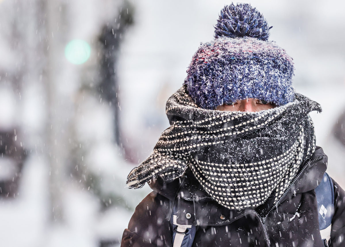
Experts remind the public that frostbite and hypothermia can occur in as little as 15 minutes while poorly insulated pipes could freeze, and cold temperatures can kill vehicle batteries. Covering exposed skin, limiting time outdoors and bringing pets indoors is recommended.
Light snow is predicted to accompany the arctic front, but forecasters don’t anticipate that much snowfall will accumulate. Following a snowy start to the winter, overall accumulations have dropped slightly in northwest Montana’s river basins, with snow water equivalent (SWE) levels in the Flathead River Basin sitting at 100% of normal as of Jan. 15 based on the median percentage between 1991 and 2020.
SWE levels sit at 103% in the Kootenai Basin while the Sun-Teton-Marias Basin are at 63% and the St. Mary Basin is at 77%.
In southwest Montana, the Gallatin Basin sits at 105% and the Madison Basin is 88%.
Despite a lack of significant storms, light snowfall has helped maintain the snowpack at Whitefish Mountain Resort, which has a settled base of 65 inches while Blacktail Mountain Ski Area has a base of 33 inches. The Noisy Basin snow depth in the Swan Range is 90 inches while the Tunnel Ridge weather station in the Flathead Range reads 73 inches.
