Flathead National Forest Approves Tally Lake Thinning Project
Located 13 miles west of Whitefish in the wildland-urban interface, the Cyclone Bill Project involves commercial thinning on more than 9,000 acres. Forest officials signed a final decision notice authorizing the project on March 3.
By Tristan Scott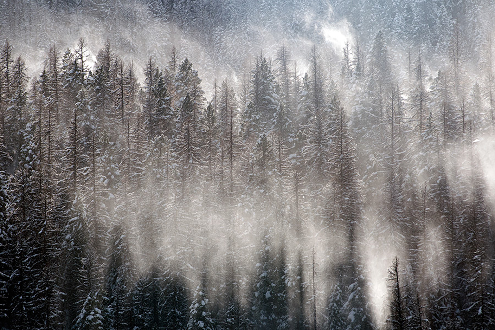
As part of a strategy to reduce wildland fire fuels and promote forest health on a densely timbered tract of land surrounding Tally Lake, about 13 miles west of Whitefish on the wildland-urban interface (WUI), officials with the Flathead National Forest on March 3 issued a final decision notice approving the Cyclone Bill timber thinning project.
Located within the Tally Lake Ranger District, foresters said the project is designed to reduce tree densities and fuel loading on the WUI by buffering residential communities from hazardous, fire-prone sections of the forest.
The final decision notice authorizes approximately 9,192 acres of commercial timber harvest, which is less than the 9,694 acres originally proposed in scoping two years ago.
“Although we are disappointed that the proposed commercial treatment acres were reduced … those 9,192 acres remain in need of treatment,” according to a letter in support of the project by Tom Partin of the American Forest Resource Council. “These treatments and the timber products they generate are very important for the timber industry and the communities where they are located.”
The decision notice also approves 3,139 acres of noncommercial treatments to reduce tree densities and fuel loading within the WUI, and “contribute continued timber production and economic sustainability in local communities.” Approximately 4,383 acres of treatment are proposed within the wildland-urban interface zone defined by the Health Forests Restoration Act of 2003.
The entire project area is more than 40,000 acres. Land ownership within the project area is approximately 35% National Forest land, 30% private timber company lands, 20% other private lands, and 10% state-owned lands. All treatments will occur on 14,400 acres of National Forest land.
The Flathead National Forest received three letters in support of the project, including from the American Forest Resource Council and F.H. Stoltze Land and Lumber Co., which owns and manages about 12,000 acres adjacent to the Cyclone Bill Project area.
“We find it to be critical that these lands adjacent to ours be treated to help mitigate fire risk as well as help improve forest health across the landscape,” according to the letter from Matt Bishop, a Stoltze forester.
Two environmental groups, Alliance for the Wild Rockies and Native Ecosystems Council, submitted letters objecting to the project, writing that the proposal violates a host of federal environmental statutes, including the National Forest Management Act, the National Environmental Policy Act and the Endangered Species Act.
Between the Flathead National Forest’s release of the project for scoping and the environmental assessment, officials modified the proposed action in response to field surveys and resource specialist input, balancing the need for the proposed action with the need to maintain and enhance resource values such as lynx and grizzly bear habitat, according to a forest spokesperson.

An environmental assessment (EA) available on the Flathead National Forest website describes a forest in which conditions are considered undesirable under the 2018 Forest Plan. For example, as some tree stands ringing Tally Lake have matured, the density of younger stands have reached a point at which “vigor decreases and tree mortality through self-thinning of the stand occurs,” leading to unhealthy tree stands, a glut of fuel loading and potentially hazardous wildfire conditions.
“Tree growth and fire exclusion in these stands has resulted in dense forest conditions that could support an intense crown fire with increased resistance to control, which could threaten life and private property within the wildland-urban interface,” according to the EA.
The absence of wildfire in the area coupled with the district’s relatively low harvest history has contributed to the poor conditions, as have insects and disease, combining to create “multiple layers of tree canopies that serve as ladder fuels, and accumulations of surface fuels.”
The Flathead National Forest says the project will “reduce wildland fuel in areas where wildland fire pose a threat to communities and community assets.”
“The Cyclone Bill project area is located west of communities at risk from wildfire and topographically aligned with prevailing wind patterns increasing potential fire behavior,” the decision states. “Reduced risk can be accomplished by breaking fuel continuity at the landscape level, managing for lower tree densities, and reducing surface fuels within the wildland-urban interface.”
Land ownership within the project area is approximately 81% National Forest System land, 13% private and 3% state-owned land. About 55% of the project area, or 22,636 acres, is located within the wildland-urban interface, which is established by the 2021 Flathead County Community Wildfire Protection Plan.
More information about this project is available on the project website at https://www.fs.usda.gov/project/?project=63658