Hydrologists Expect Below-average Streamflows in Northwest Montana
Snow water equivalent levels in the Flathead River basin are slightly below normal at 89% while hydrologists say the next two months will determine the water supply heading into the spring and summer
By Maggie Dresser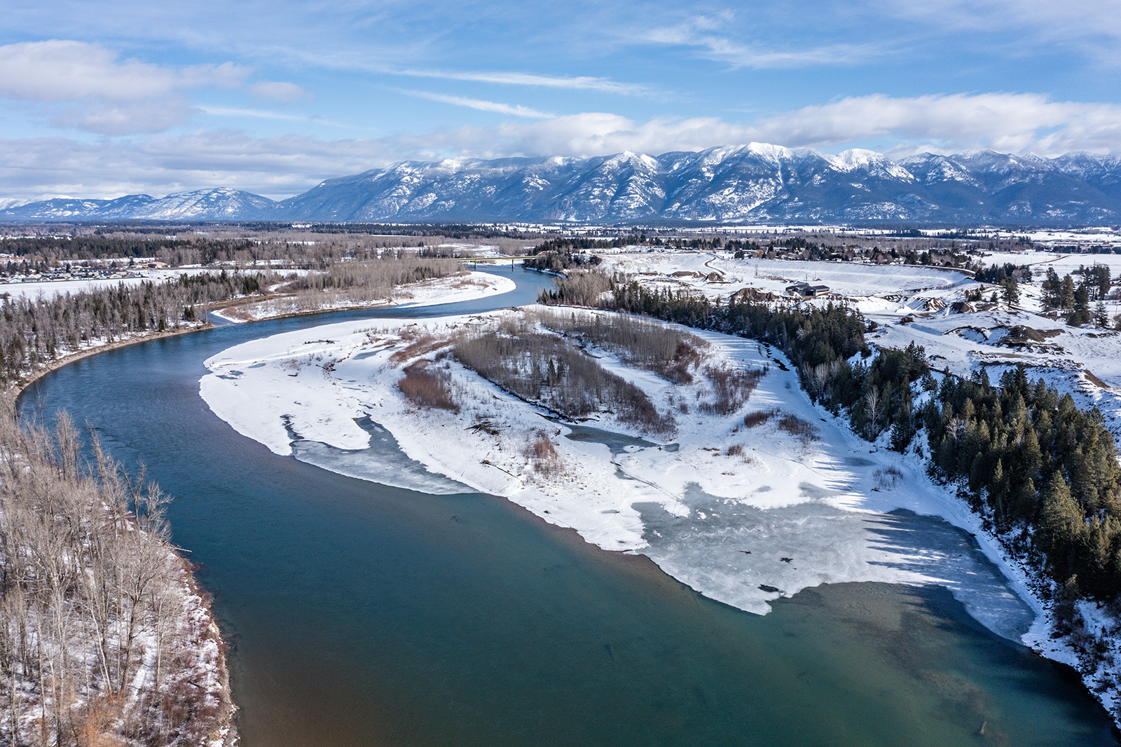
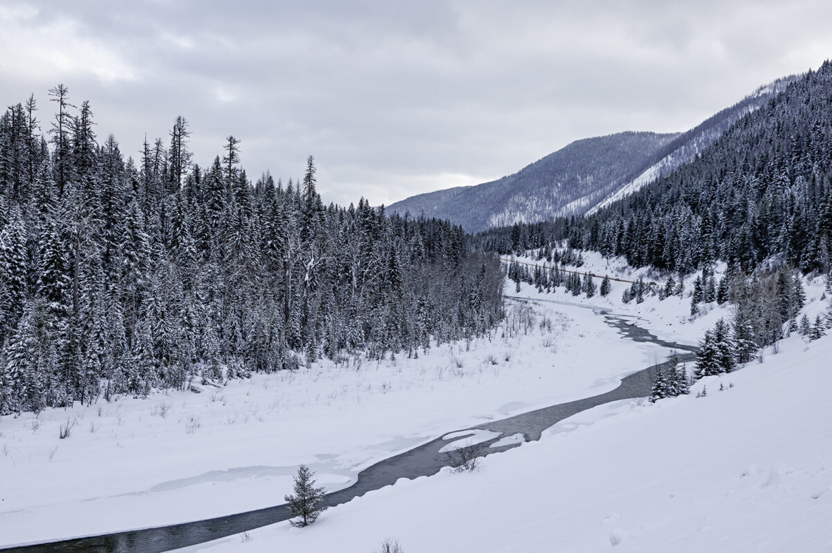
Despite a dry January, last month’s above-average precipitation in northwest Montana has boosted the snowpack, bringing the Flathead River basin’s streamflow forecast to slightly below normal from April to July, according to the USDA Natural Resources Conservation Service (NRCS) water supply outlook report.
“The March 1 water supply forecast currently trends with total water year precipitation and the resulting snowpack – therefore most forecasts indicate slightly below normal runoff this season,” said Eric Larson, a NRCS hydrologist said in a news release.
In February, northwest Montana received about 105% to 130% of normal monthly precipitation. However, the snowfall did not make up for the early season snow water equivalent (SWE) deficit.
As of March 11, the Flathead River basin SWE levels were at 89% while the Sun-Teton-Marias River basin was at 72%. Precipitation in the Kootenai River basin rose to 82% of normal following a dry month in January, which received only 29% of normal snowpack.
Weather stations with the highest SWE levels in northwest Montana include Noisy Basin in the Swan Range at 105% and Grave Creek in the Whitefish Range at 106%. Stations with the lowest levels are located near the Continental Divide in Glacier National Park, including Many Glacier at 62% and Flattop Mountain at 72%.
Maximum snow depths in northwest Montana range from 65 to 100 inches, with Noisy Basin at 96 inches and Big Mountain at 78 inches, as of March 11. Tunnel Ridge in the Flathead Range is at 98 inches while Flattop Mountain in Glacier National Park is at 80 inches.

While monthly temperatures were mostly below average in February across the state, temperatures shifted to above normal in recent weeks, which impacted lower elevation snowpack and started influencing upper elevation areas.
“The slightly below normal snowpack in many basins is not overly concerning yet … At least we are doing better than last year at this time when snowpack percentages were 60% to 70% of normal,” Larson said.
Snow accumulations over the next two months will determine the water supply heading into the spring and summer and increased precipitation will be needed to make up for early season SWE deficits, according to the water supply report.
According to the National Weather Service, a low-pressure system is circulating off the West Coast and will bring high elevation snow and valley rain to northwest Montana in the coming days followed by a cold front.