Northwest Montana River Gages Hit Record September Lows
The water year, which ran from Oct. 1, 2024 through Sept. 30, 2025, saw a below-normal seasonal water supply; National Weather Service issues winter storm warning in Glacier National Park with up to 10 inches forecast at high elevations
By Maggie Dresser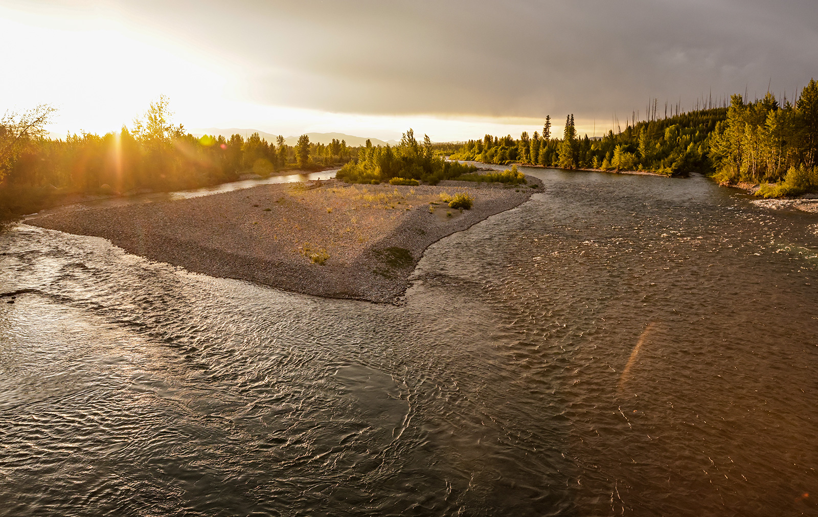
Following several abnormally warm and dry months throughout the water year – which runs from Oct. 1 through Sept. 30 – northwest Montana saw a below-normal seasonal water supply, according to National Weather Service hydrologist LeeAnn Allegretto.
While some months throughout the water supply year were cooler and wetter than average, which included July and August, Allegretto said the moisture was not enough to make up for the spring when the entire Columbia River basin lost most of its snowpack rapidly.
“April and May are crucial months for water supply, and we just didn’t hit the mark for precipitation in these months,” Allegretto said in a water year wrap-up presentation.
In early June, the middle and north forks of the Flathead River’s snow water equivalent (SWE) levels were hovering around 70% of median streamflow and hydrologists reported an early peak runoff.
A wet summer, which included late June snow in Glacier National Park, helped boost the Flathead River basin with 130% of normal precipitation combined with temperatures roughly 1 to 3 degrees Fahrenheit below average.
“A lot of areas received an abundant amount of precipitation well above normal in the 110% to 130% of normal,” Allegretto said. “Thankfully, we received quite a bit of precipitation in the July and August months, but it wasn’t enough to make up for the entire water year.”
At the end of September, more than a dozen U.S. Geological Survey (USGS) river gage sites west of the Continental Divide were reporting all-time low streamflows, which included the Middle Fork Flathead River at West Glacier and Fisher River in Libby.
As of Sept. 28, the Middle Fork Flathead River sat at 326 cubic feet per second (cfs) compared to the 710 cfs median for that date. Fisher River was at 46 cfs compared to the 108 cfs median on the same date.
Allegretto said September saw average temperatures about 6 degrees above normal across western Montana, which has left the region in drought intensities ranging from moderate to extreme.
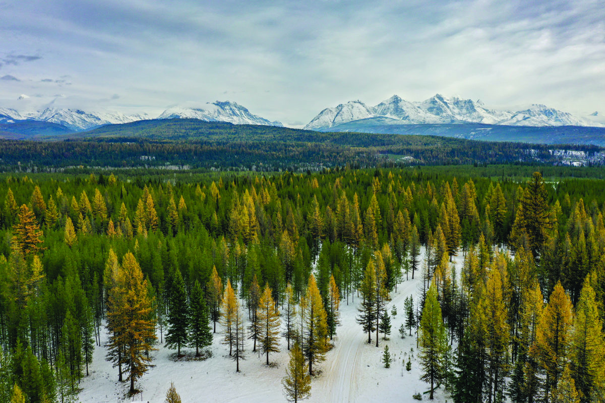
Contrasting the warm and dry September, the National Weather Service on Oct. 3 issued a winter storm warning in northwest Montana.
The first weekend in October is expected to bring “winter-like” conditions with at least 2 inches of snow expected on the Continental Divide and 4 to 8 inches of snow in Glacier National Park. Logan Pass could see 10 inches.
Snow levels on Sunday morning could drop to elevations as low as 3,000 feet along U.S. Highway 2 from West Glacier to Marias Pass, according to the National Weather Service.
A drier airmass is expected to settle over the region early next week, with clear skies and the first widespread hard freeze in northwest Montana’s valleys. High pressure will build by next week with “chilly morning lows and seasonable afternoon highs.”