Northwest Montana Reaches Snowpack Deficit as Near to Below Normal Spring Runoff is Forecast
Warm and dry trends are continuing across the Northern Rockies as snow water equivalent (SWE) levels hover around 85% in the Flathead, Kootenai and Sun-Teton-Marias river basins while drought conditions have expanded to 95% of the state
By Maggie Dresser
Following well below normal precipitation and above normal temperatures in February, northwest Montana is experiencing a snowpack deficit as hydrologists predict a near to below normal spring runoff in a late winter forecast.
USDA Natural Resources Conservation Service (NRCS) Hydrologist Florence Miller said there’s a “stark elevational contrast” in this year’s snowpack, with high elevation weather stations reporting closer to normal values while low elevation sites are reporting record-breaking lows.
For example, the 6,040-foot Stahl Peak station in the northern Whitefish Range is at 102% of normal as of March 6 compared to the nearby Grave Creek station sitting at 4,350 feet, which is at 42% of normal.
In Glacier National Park, the 6,280-foot Flattop Mountain station is at 91% of normal while Many Glacier to the east at 4,930 feet is at 25%.
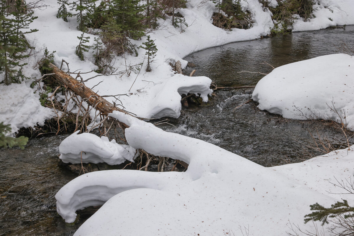
In February, the Flathead River basin’s snowpack was well below normal at 69%, up from 50% in January, according to the March 5 Water Supply Outlook.
Statewide, most Montana basins are reporting a below-normal snowpack ranging from 60% to 95% of median, according to Miller.
Of the 232 snow monitoring stations measured on March 1, 24 experienced the lowest snowpack on record while 26 saw the second lowest compared with at least 30 years of data. An additional 28 stations were in the lowest five years on record.
Despite the record-breaking lows, the year-to-date precipitation, which begins in October, remains at 100% to 135% of median, which was boosted during the record-breaking precipitation delivered by December’s atmospheric river.
Miller said December’s precipitation likely helped recharge groundwater sources and stock high elevation snowpacks, but the warm temperatures and the lack of valley snow coverage may reduce those benefits.
Above normal temperatures in February boosted drought conditions to impact 95% of the state, a dramatic increase compared to December 30 when drought conditions impacted only 52% of the state.
According to the National Weather Service, Kalispell experienced its 10th warmest February with temperatures averaging 32.6 degrees Fahrenheit, nearly 6 degrees above normal. There was only 4.9 inches of snow tallied, which is 58% of normal.
While a near to below normal runoff is forecast, hydrologists stress that there is uncertainty in this month’s forecast due to the unpredictability of spring weather. Seasonal snowpack typically peaks in early to late April and although snowpack deficits are unlikely to make a full recovery, ample spring precipitation could moderate the effect on summer streamflow.
“The March 1 forecasts are reflective of high water-year-to-date precipitation and high elevation snowpack,” Miller said. “Given the inherent uncertainty of early spring forecasts, and the lack of valley snow, it could be prudent for water users to make conservative management decisions that take into account the full suite of forecast predictions, especially on the lower end.”