Winter Storm to Bring Feet of Snow and Damaging Winds to Northern Rockies
National Weather Service officials say an atmospheric river will bring destructive gusts of 80 mph and up to 4 feet of snow to high elevations in northwest Montana, especially near the Continental Divide
By Maggie Dresser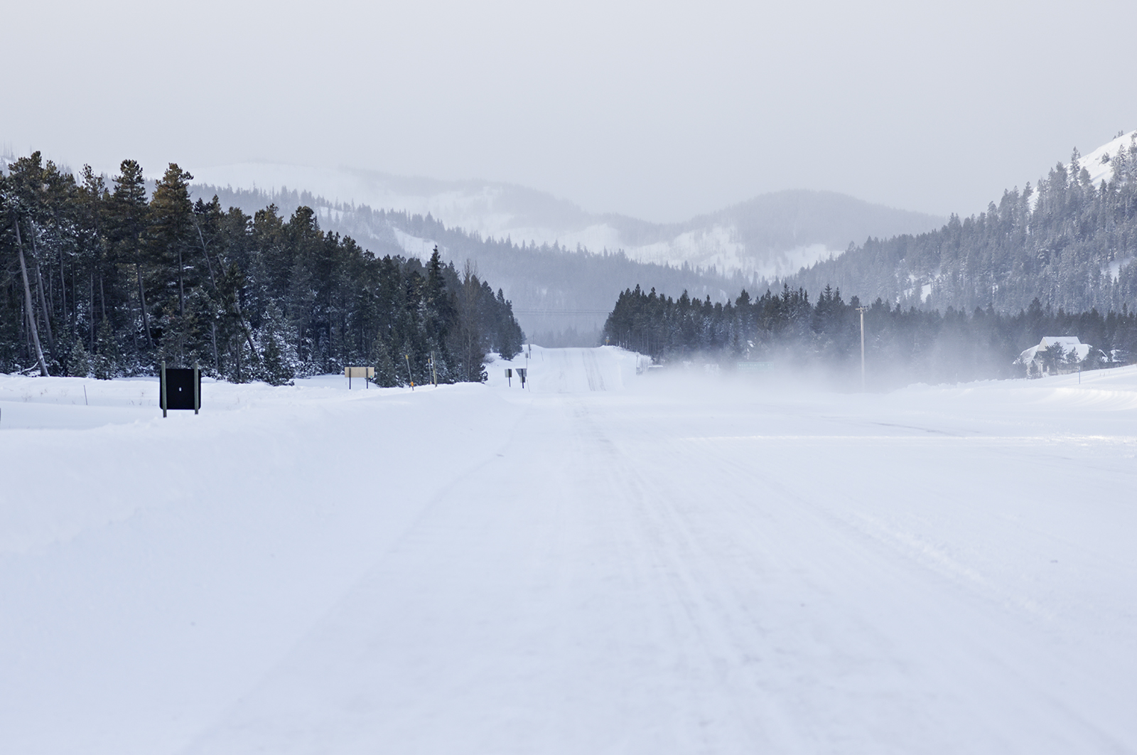
As an intense atmospheric river heads for the Northern Rockies, up to 4 feet of snow could fall in the highest elevations of northwest Montana by Saturday, accompanied with damaging wind gusts as high as 80 mph on Thursday near the Continental Divide, according to the National Weather Service (NWS).
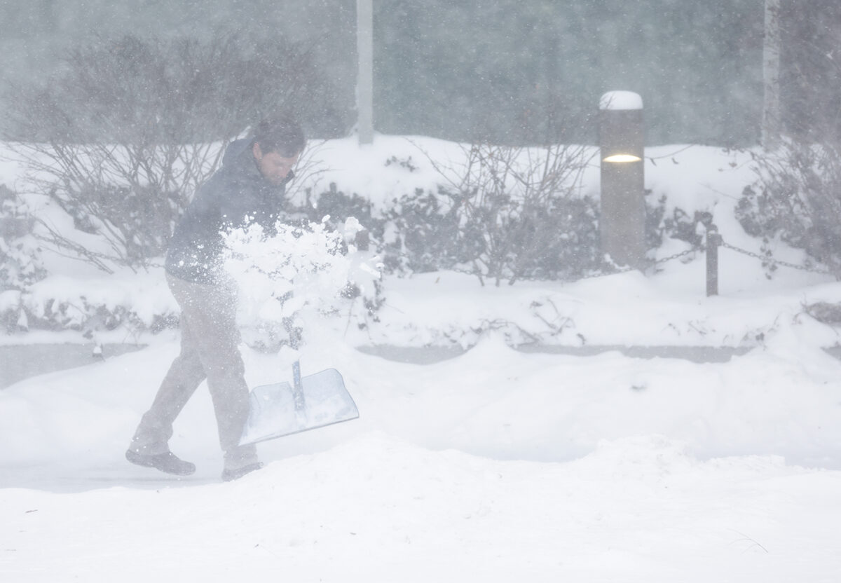
A prolonged atmospheric river is forecast to blanket the region with snow starting late Wednesday and ending Saturday with high winds forecast in western Montana, where tree damage and power outages are possible.
Originating in the subtropics, the atmospheric river will start warm with snow levels in northwest Montana around 4,000 feet, accumulating up to 4 feet of snow in the high elevations of nearly all of the region’s mountain ranges.
Late Wednesday night into Thursday morning, a cold front will bring “extremely strong” westerly winds in northwest Montana, especially along the Continental Divide.
“Lincoln and Flathead counties – that’s where we’re really concerned of local wind gusts up to 70 mph,” said Alex Lukinbeal of the NWS Missoula office during a March 10 weather briefing.
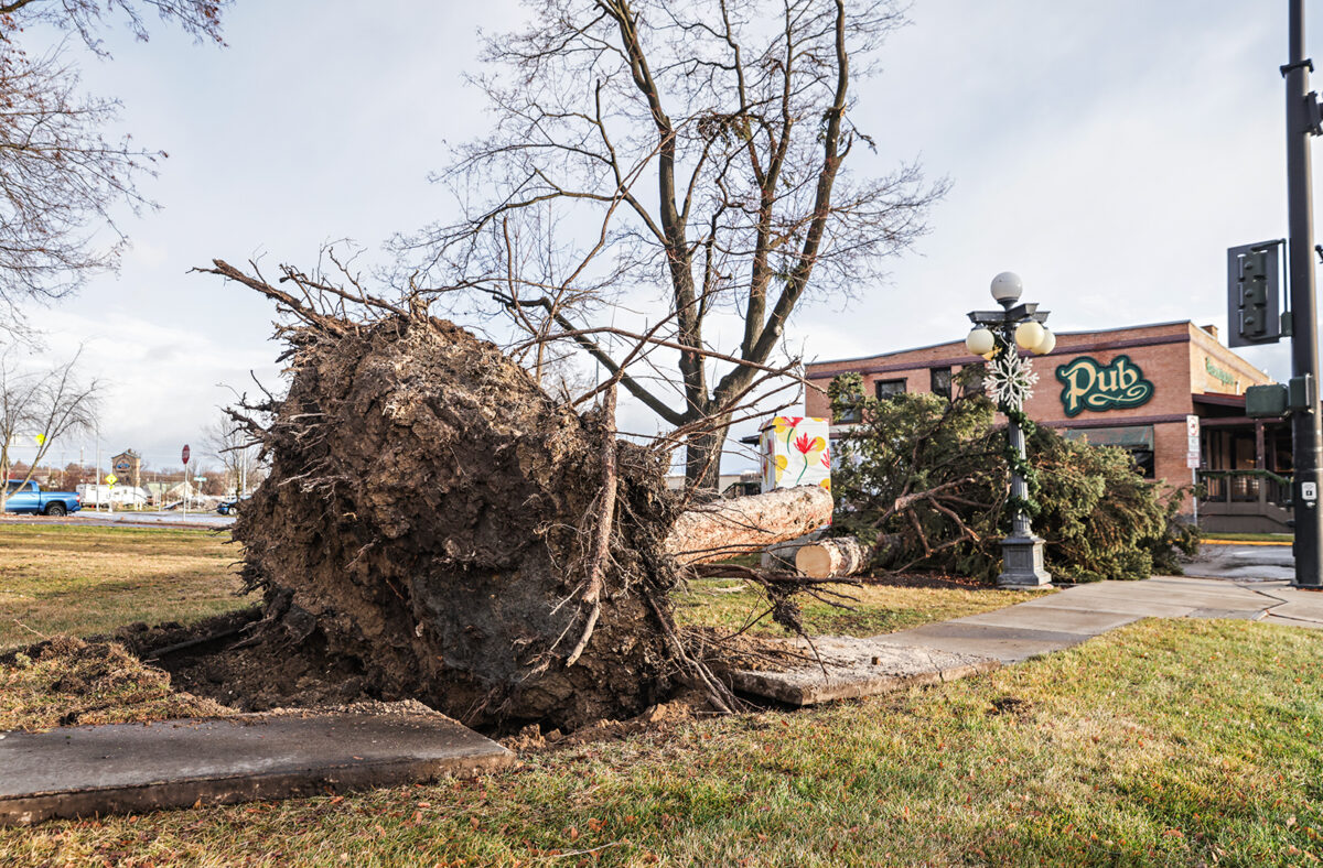
Lukinbeal said the high winds will likely be comparable to the destructive December windstorm that left parts of northwest Montana without power for days.
Marias Pass and Browning could “easily” see snow totals up to 2 feet along with “whiteout” conditions, according to NWS officials, while the Rocky Mountain Front will also see significant snowfall.
Valley floors will be less impacted by the storm, but accumulation is expected by the weekend with 2 inches forecast on Friday in Kalispell followed by an additional 1 to 3 inches on Saturday.
“Obviously, this will create impacts to travel, reduced visibility, lots of snow and ice and possible blizzard conditions,” NWS meteorologist Brad Mickelson said during the briefing.
Through Saturday, Whitefish Mountain Resort could see up to 3 feet of new snow, with the highest snow total of up to 16 inches forecast to fall on Friday.
NWS officials strongly advise delaying backcountry recreation and pass travel until conditions improve.
“This is not a typical storm,” Lukinbeal said. “For those planning on traveling, especially over mountain passes like Lolo, Lost Trail and Marias, we’re really trying to encourage people that you may want to reconsider your plans.”
The winter storm comes at a critical time as river basins face deficits in the months before the snowpack peaks and spring runoff begins.
Following well-below normal precipitation and above-normal temperatures in February, northwest Montana is seeing a shallow snowpack as hydrologists last week said a near-to-below normal spring runoff is expected.
But in the March Water Supply Outlook compiled by the USDA Natural Resources Conservation Service, hydrologists said there is still uncertainty in the forecast due to the unpredictability of spring weather.
As of March 10, The Flathead River basin’s snow water equivalent (SWE) was at 88% while the Kootenai and Clark Fork basins were at 72%. The St. Mary River basin was at 78% while the Sun-Teton-Marias River basin had a SWE of 88%.
Statewide, most Montana basins are reporting a below normal snowpack ranging from 60% to 95% of median.