Spring Snowstorm Forecast to Drop a Foot of Snow in Northern Rockies
The high country could see more than 12 inches of snow by Friday, potentially adding to river basins as snowpack deficits persist
By Maggie Dresser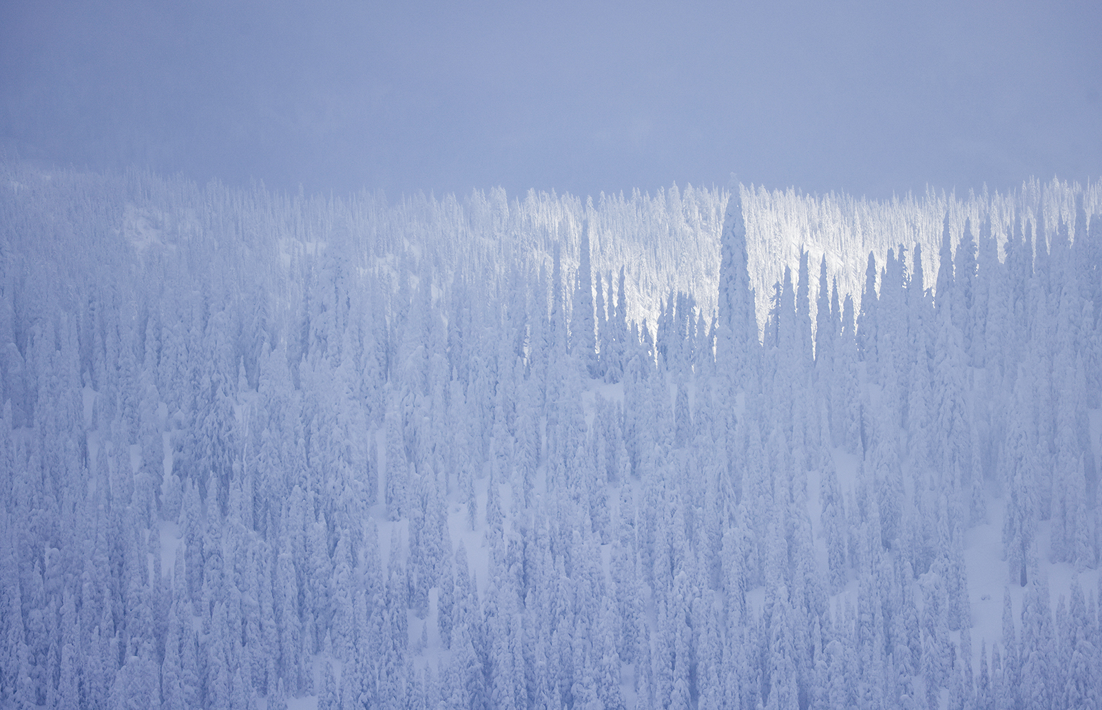
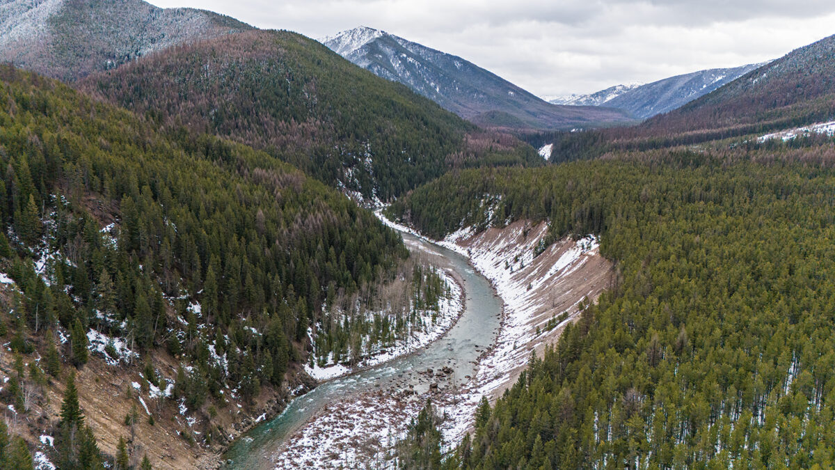
A low-pressure weather system moving into northwest Montana on Wednesday is expected to bring a warm and wet spring storm, dropping several inches of snow near the Continental Divide and more than a foot in the highest mountain peaks, according to the National Weather Service (NWS).
Warm temperatures will cause snow levels to rise to 6,000 feet on Wednesday with up to a quarter of an inch of rain forecast to fall in Kalispell while Marias Pass could see up to 10 inches of snow by Thursday night when temperatures fall and snow levels drop to 3,000 feet.
The storm will be concentrated along the Continental Divide, but meteorologists warn that most valley locations will see snow by Thursday night.
NWS officials warned motorists of slick mountain passes and said the possibility of heavy, wet snow accumulating on trees could cause localized power outages. But meteorologists anticipated making adjustments to the current Winter Storm Watches, saying the exact position of the precipitation bands would remain “volatile” until 24 hours before the storm’s onset
In a weather briefing, NWS officials said there is a high degree of uncertainty with the forecast, and that predicting snow levels would be a “big challenge” as they may vary considerably with elevation.
As closing weekend approaches at Whitefish Mountain Resort, meteorologists forecast up to 14 inches of snow by Thursday night before a high-pressure system brings sunny skies and temperatures in the 40s by the weekend. Big Mountain will see a high temperature of 40 degrees Fahrenheit on Saturday for the annual Pond Skim, which begins at 2:30 p.m. at the bottom of Chair 1.

Temperatures in Kalispell will rise to the 60s through the weekend.
In the Swan and Flathead ranges, as well as in Glacier National Park, up to a foot of snow is expected by Thursday, adding to the recent snow the region accumulated through Monday morning. According to the Flathead Avalanche Center (FAC), between 4 to 12 inches of snow fell in in the forecast area on Monday morning, favoring the Flathead Range and Marias Pass areas.
FAC’s daily advisories end this week as forecasters close out a “challenging and hopefully unusual winter,” FAC Director Blase Reardon wrote in the March 31 advisory.
As statewide snow deficits persist, the Flathead River basin snow water equivalent (SWE) levels as of March 31 were 90% of normal while the Kootenai River basin was 81% of normal.
While many low-elevation weather stations are reporting well-below normal levels, high-elevation stations like Flattop Mountain, at 6,280 feet, is at 94% of normal, while the nearby Many Glacier SNOTEL, at 4,930 feet, is nearly melted out with only 4% of normal SWE.