Smoke from Washington, Oregon Wildfires Degrades Northwest Montana’s Air Quality
Since July 16, dozens of wildfires have ignited in the Kootenai National Forest while the Advent Creek fire southeast of Trego continues to burn at 33 acres with 40% containment
By Maggie Dresser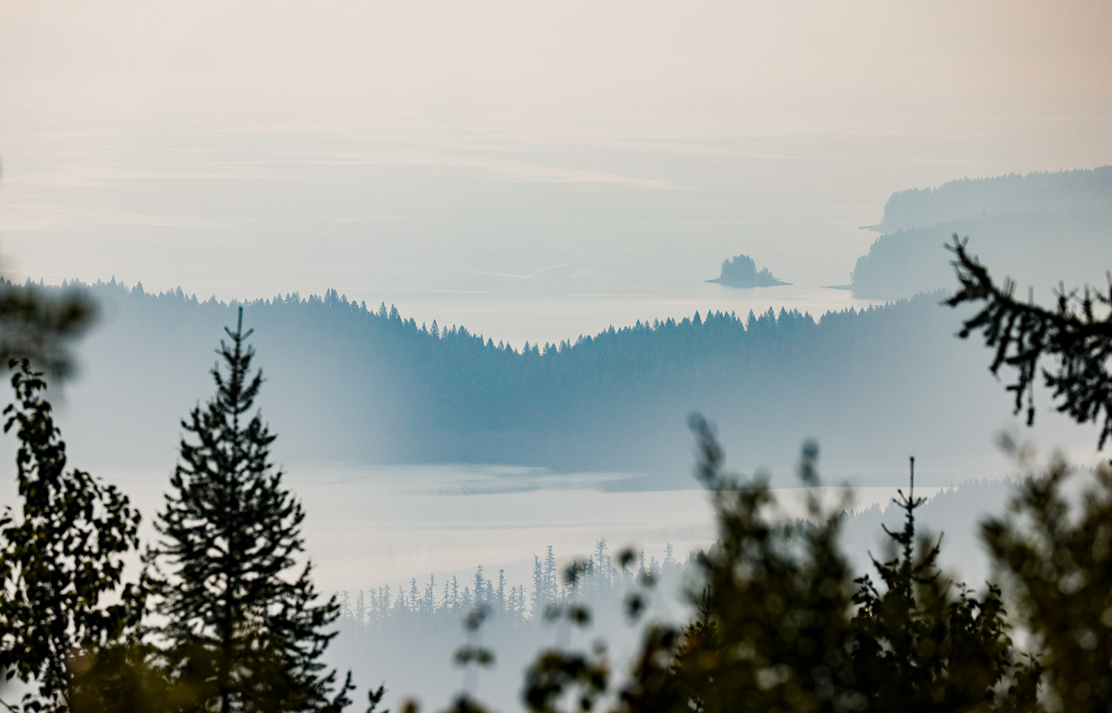
As a handful of wildfires burn in northwest Montana, smoke and haze from the roughly 500,000 acres blazing in Washington and Oregon continue to degrade air quality across the state, according to the National Weather Service (NWS).
Since July 16, the Kootenai Interagency Dispatch Center has confirmed 47 wildfires, most of which have been contained, controlled or extinguished. Meanwhile the Advent Creek fire southeast of Trego continued to burn at 33 acres as of Tuesday morning. Spread across the Kootenai and Flathead national forests, the fire is 40% contained, according to the Kootenai National Forest.
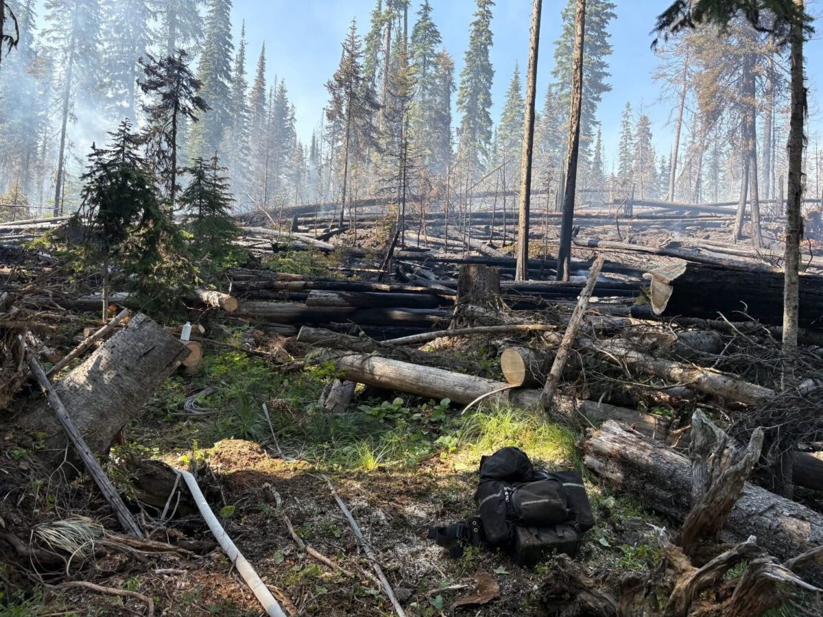
The Kootenai Type III management team has deployed aerial resources, heavy equipment, hand crews and sawyers as part of direct extinguishment tactic to the Advent Creek fire, which is burning in heavy timber and blowdown.
To the west, the Williams Creek and Scenery Mountain trail networks are closed as an Interagency Hotshot Crew and a local district squad have been dispatched to the Williams wildfire on the Libby Ranger District, which is currently 11 acres. Crews are working along the fire’s edge on a direct extinguishment strategy and deploying mop-up operations, according to the Kootenai National Forest.
Air quality across northwest Montana remains moderate, according to the Air Quality Index (AQI), as periods of haze and smoke persist across the region.
Easterly winds on Tuesday are forecast to push smoke west into the panhandle of Idaho as hot and dry conditions enter the region; however, meteorologists warn there is “considerable uncertainty” regarding how cloud cover and smoke will impact the high temperatures, according to NWS.
Temperatures are expected to reach 95 degrees Fahrenheit with a slight chance of thunderstorms on Thursday while highs in Libby are forecast to reach 102 degrees.
While northwest Montana will be minimally impacted, a significant surge of monsoon moisture will deliver scattered to widespread showers and thunderstorms across western Montana and north central Idaho through Thursday, bringing heavy rain, localized flash flooding, frequent lightning and erratic winds.
On Thursday, the region will transition from deep monsoonal moisture to a drier southwest flow, which could trigger severe thunderstorms shifting to “near-critical” fire weather conditions by Friday. Dry weather and a sharp decline in showers will elevate fire danger across the region, according to NWS.
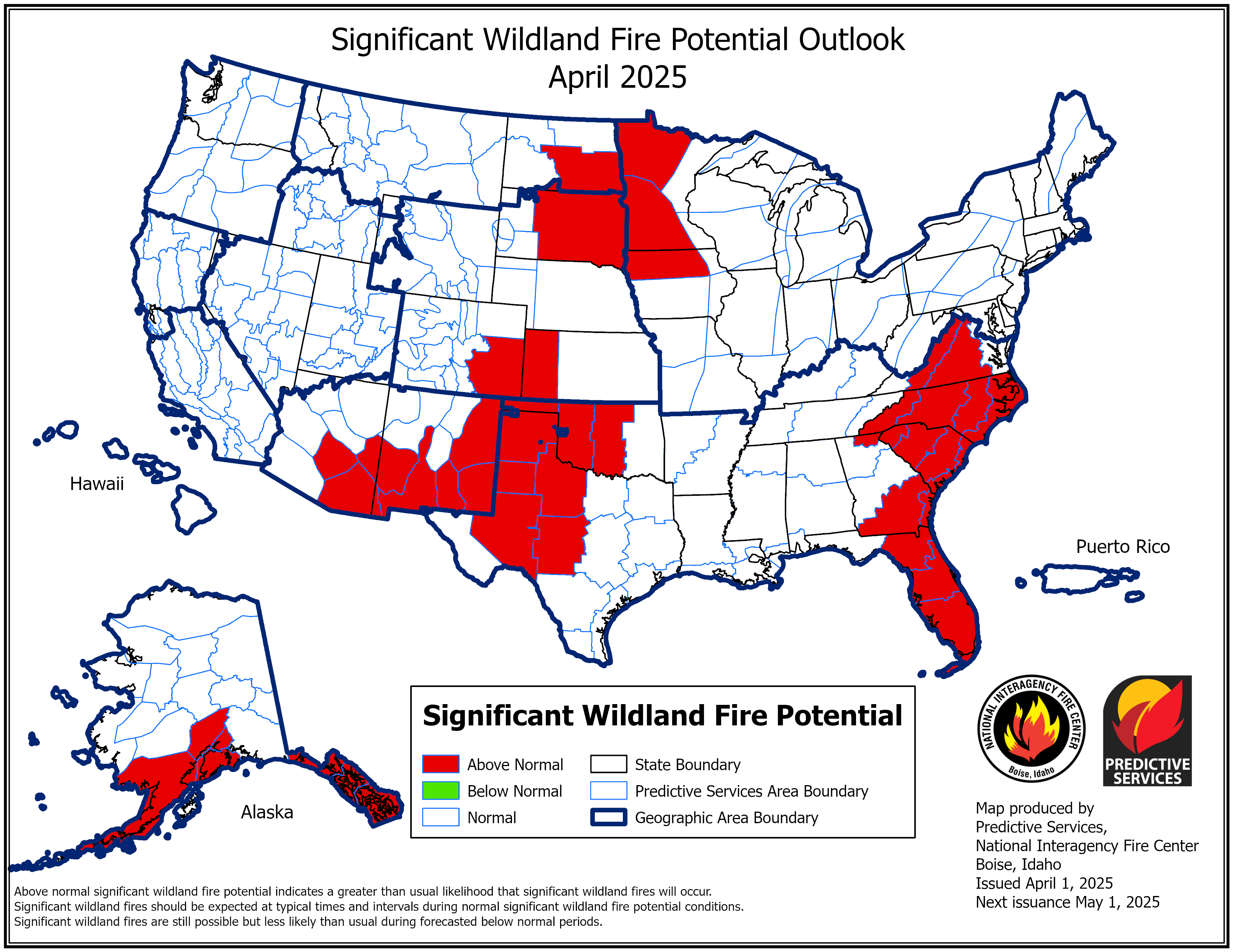
According to the National Interagency Fire Center, northwest Montana has a below-normal risk of significant wildland fire potential while most areas in Washington and Oregon show an above-normal risk for the remainder of the month.