Flathead National Forest Plans Fall Prescribed Burns on More Than 2,400 Acres
Fire crews will conduct broadcast and pile burns at 14 sites across the Swan Valley, Spotted Bear, North Fork and Hungry Horse areas this fall and into winter. Smoke may be visible to residents and visitors while burns are underway.
By Beacon Staff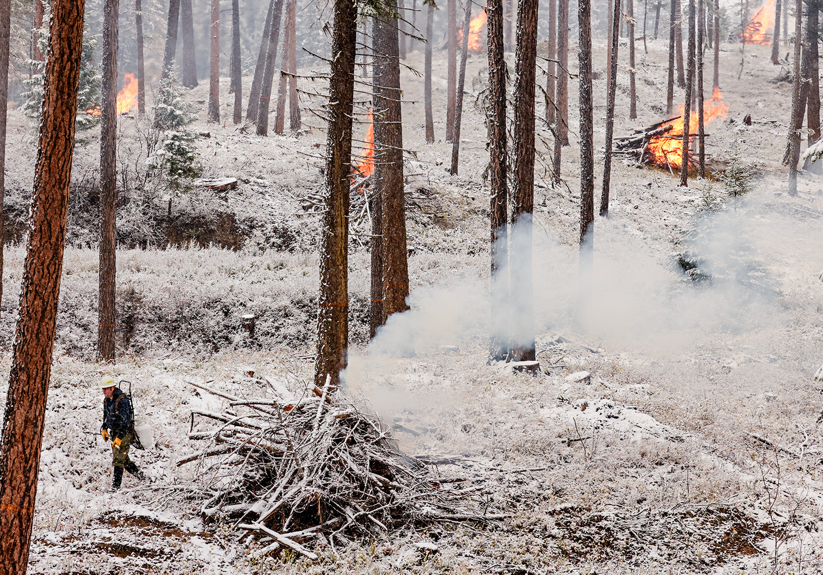
Fire managers on the Flathead National Forest are preparing to conduct prescribed burning operations this fall on roughly 2,450 acres at 14 sites across the forest, according to agency officials, who warned that residents and visitors may encounter smoke in the coming weeks and months.
According to a Sept. 21 news release from the Flathead National Forest, the burns are planned pending all required approvals and could continue through the winter as weather conditions allow. In addition to the named sites, crews will conduct hand and machine pile burning at other locations across the forest.
Forest officials said prescribed fire is used to reduce overgrown vegetation, helping protect local communities, infrastructure and natural resources from wildfire.
Crews will evaluate conditions before each burn and will only begin operations when weather, air quality and fuel conditions are favorable, according to the release.
Warning signs will be posted along roads near all prescribed fire areas, and officials are asking the public to follow all posted safety notices. Those seeking current air quality information can visit AirNow online or download the AirNow app.
The Flathead National Forest is planning prescribed burns this fall at the following sites:
Swan Valley
- Swan Valley Bottom Broadcast – The prescribed burn will cover 50 acres in Lake and Missoula counties along National Forest Road 124.
- Cold Jim Broadcast and Piles – The prescribed burn will cover 100 acres in Lake County along National Forest Road 888.
- Napa Point and Van Lake Piles – Pile burning will cover 25 acres in Lake County along National Forest Roads 10505 and 558.
- Beaver Creek Piles – Pile burning will cover 600 acres in Missoula County along National Forest Road 906.
- Holland Lake Piles – Pile burning will cover 5 acres in Missoula County along National Forest Road 44 near Holland Lake.
Blacktail Mountain and Crane Mountain
- Dayton Piles – Pile burning will cover 500 acres in Flathead County along National Forest Road 2990 on Blacktail Mountain.
- Bug Creek Piles – Pile burning will cover 700 acres in Flathead County along National Forest Roads 498 and 9745 on Crane Mountain.
Spotted Bear
- Spotted Bear Mountain – The prescribed burn will cover 12 acres in Flathead County.
- Spotted Bear River – The prescribed burn will cover 32 acres in Flathead County.
- Horse Ridge – The prescribed burn will cover 200 acres in Flathead County.
North Fork, Hungry Horse Reservoir and Coram
- Frozen Moose Piles – Pile burning will cover 50 acres in Flathead County in the North Fork.
- Crystal Cedar Piles – Pile burning will cover 15 acres in Flathead County in the Lower North Fork.
- Betty Baptiste Piles – Pile burning will cover 20 acres in Flathead County on the east side of Hungry Horse Reservoir.
- Lake Five Piles – Pile burning will cover 140 acres in Flathead County in the Coram and West Glacier area.
A map of prescribed fire locations is available from the Flathead National Forest.