Warmer, Drier Winter Expected in Western Montana as Forecaster Cautions ‘No Two El Niño’s Are Alike’
National Weather Service meteorologists predict average snowfall will range from 75% to 85% of normal while early flooding and strong valley inversions could impact the region
By Maggie Dresser
As a potentially historic El Niño weather event continues taking shape across the globe, National Weather Service (NWS) meteorologists forecast a warmer- and drier-than-average winter season in western Montana, with average snowfall ranging from 75% to 85% of normal.
Missoula-based NWS meteorologist Brian Conlan said in a late-October Winter Outlook weather briefing that other impacts like strong valley inversions and early flooding could also impact western Montana.
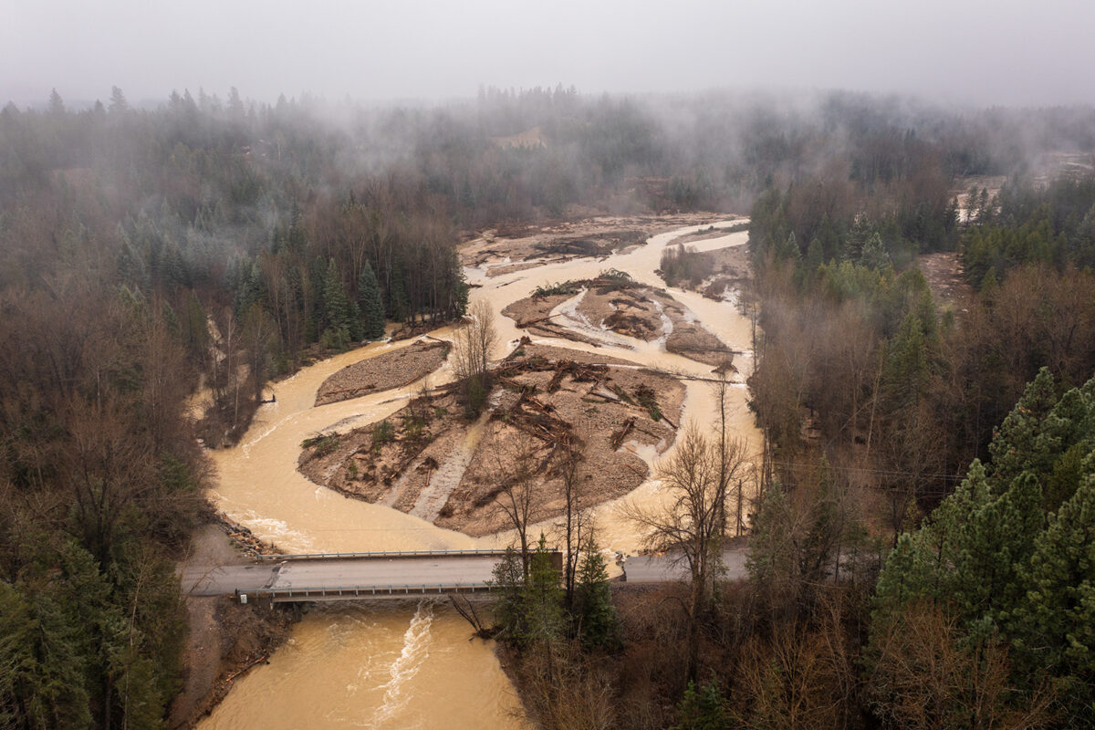
“If you have these southwesterly storms similar to atmospheric rivers bringing up warmer temperatures and moisture when you already have that snow, we could start to see that flood season as early as November and December,” Conlan said. “Heck – it happened last year in December in northwest Montana.”
Prolonged periods of high pressure could also bring warmer temperatures to high elevations, trapping cold air in the valleys and bringing fog and freezing rain.
Nationwide, weather service meteorologists forecast warmer- and drier-than-average conditions across the northern U.S. and wet conditions in the southern part of the country as a “very strong” El Niño shifts the jet stream southward and eastward across the Lower 48.
With equatorial sea surface temperatures above average in the Pacific Ocean, the weather pattern continues to strengthen with a strong-to-very strong El Niño likely from January through March 2027. Chances remain high for a historic event that would exceed the strength of previous events dating back to 1950, according to the National Oceanic and Atmospheric Administration (NOAA) Climate Prediction Center.
But Conlan clarified the “very strong” definition means there’s a higher probability of widespread impacts, which does not center on the intensity.
“We are already in an El Niño,” Conlan said. “The El Niño advisory has been posted, and the favored winter-time effects is warmer and drier than average. Remember – no two El Niño’s are alike so if you remember the effects from the past one, it may not work out exactly the same this time.”
Historically, El Niño events have resulted in warmer and drier conditions in western Montana, but Conlan said some seasons have still had a high volume of wet and cold days despite average totals.
“An average is just an average,” Conlan said. “It doesn’t tell you when the snow is going to happen or when the cold is going to happen or when it’s going to be warm.”
According to data collected between 1991 and 2020, Kalispell averages 27 days per year below 10 degrees Fahrenheit and 10 days per year below zero degrees in normal years. During strong El Niño’s, Kalispell averages 19 days per year below 10 degrees and 6.5 days per year below zero degrees.
Normal snowfall in Kalispell averages 54 inches per year but drops to 39 inches during strong El Niño events, according to data.
At an elevation of 6,070 feet in the northern Swan Range, snow water equivalent (SWE) levels, which measure the total content of water in the snowpack, have not historically reached into the 90th percentile during El Niño events, according to Noisy Basin SNOTEL data. The snow also melts quickly in the spring, leading to a rapid spring runoff.
The most recent El Niño in 2016, for example, did not surpass the 80th percentile while in 1987, SWE levels in the Swan Range were in the lowest 10% of all winters.
“It never reaches the highest percentile,” Conlan said. “It never becomes a wettest winter during a strong El Niño and then you’ll see this sharp melt off at the end of the winter season.”