Temperatures to Plummet as Winter Weather Returns to Northern Rockies
Officials have issued an avalanche warning while the Blackfeet Tribal Business Council declared a state of emergency in response to heavy snow and negative temperatures as Arctic air seeps over the Continental Divide
By Maggie Dresser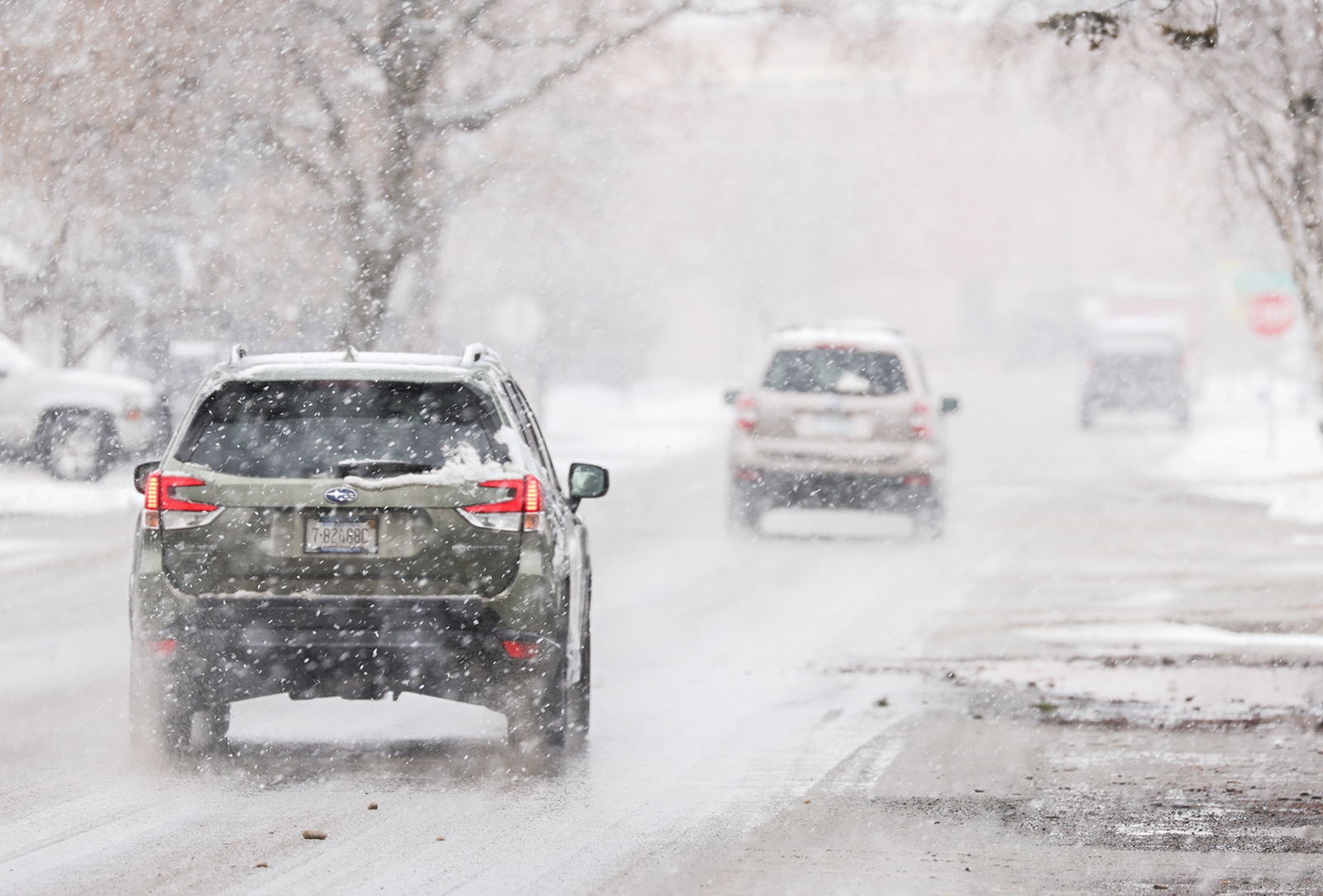
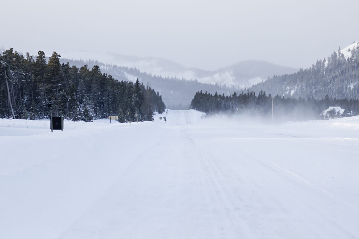
Northwest Montana could see the coldest temperatures of the year this week as an Arctic air mass spills over the Continental Divide while heavy snow has caused hazardous driving conditions and triggered officials to issue an avalanche warning.
The strong cold front moves into the region tonight and could bring wind gusts of up to 35 mph accompanied with snowfall rates of more than 1 inch per hour as wind chills near the Continental Divide drop to negative 15 degrees Fahrenheit, according to the National Weather Service (NWS).
Flathead Avalanche Center (FAC) officials have issued an avalanche warning through tomorrow morning as heavy snowfall rates and wind-drifted snow create very dangerous conditions on slopes above 5,000 feet in the region’s mountain ranges.
In Tuesday’s advisory, avalanche forecaster Cam Johnson wrote that human-triggered avalanches will become very likely as the new snow will “shock-load” a weak and fragile snowpack that has already contributed to avalanches in recent days.
Kalispell is forecast to see single-digit lows tonight with low teens throughout most of western Montana while the coldest temperatures are expected near the Continental Divide.
The Blackfeet Tribal Business Council on Tuesday afternoon declared a state of emergency as temperatures are forecast to drop to negative 16 degrees Fahrenheit in Browning on Wednesday morning with wind chill values as low as negative 35 degrees.
Following a warm, dry January that brought the snow water equivalent (SWE) to below normal levels, snow returned to the Northern Rockies early this morning with up to a foot of snow forecast in the Whitefish, Swan and Flathead ranges by tomorrow. Marias Pass could see up to 8 inches of snow by the end of today.
“I believe today’s weather forecast is what we’ve been waiting for … Arctic air pushes against the divide this evening, dropping temperatures and shutting off precipitation. Temperatures will plummet to below zero on the eastern edge of the forecast area,” Johnson wrote. “The upcoming workweek looks cold and snowy.”
Whitefish Mountain Resort could see up to 13 inches by the end of today, adding to the snow depth that has hovered around 70 inches for the last month. Blacktail Mountain Ski Area in Lakeside is forecast to see 5 inches of snow today, a significant boost to the 17-inch snow depth.
The mid-February winter weather system comes in the aftermath of this year’s record temperatures, during which most of the state experienced temperatures 3 to 9 degrees Fahrenheit above average. Kalispell broke its 1995 record on Feb. 5 when temperatures reached 51 degrees while the average temperature in January was 3.3 degrees above normal, according to the National Weather Service.
Even as precipitation boosts the snowpack, SWE levels in the region’s river basins are well below average for this time of year, with the Flathead River basin at 86% of normal, the Kootenai River basin at 58% and St. Mary at only 17%. The Sun-Teton-Marias River basin on the east side of the Continental Divide is at 90%.
The SWE levels, however, vary significantly across the Northern Rockies with the Stahl Peak weather station at 6,040 feet in the northern Whitefish Range recording 110% while Bear Mountain at an elevation of 5,460 feet on the Idaho-Montana border is at 0%.
NWS forecasters expect the winter weather trend to last through the end of February with an active pattern continuing into early March.