Flathead River Forecast to Reach Flood Stage
Heavy rains totaling up to 3 inches by early next week in the Northern Rockies could cause minor flooding in urban and flood-prone areas with more precipitation expected along the Continental Divide
By Maggie Dresser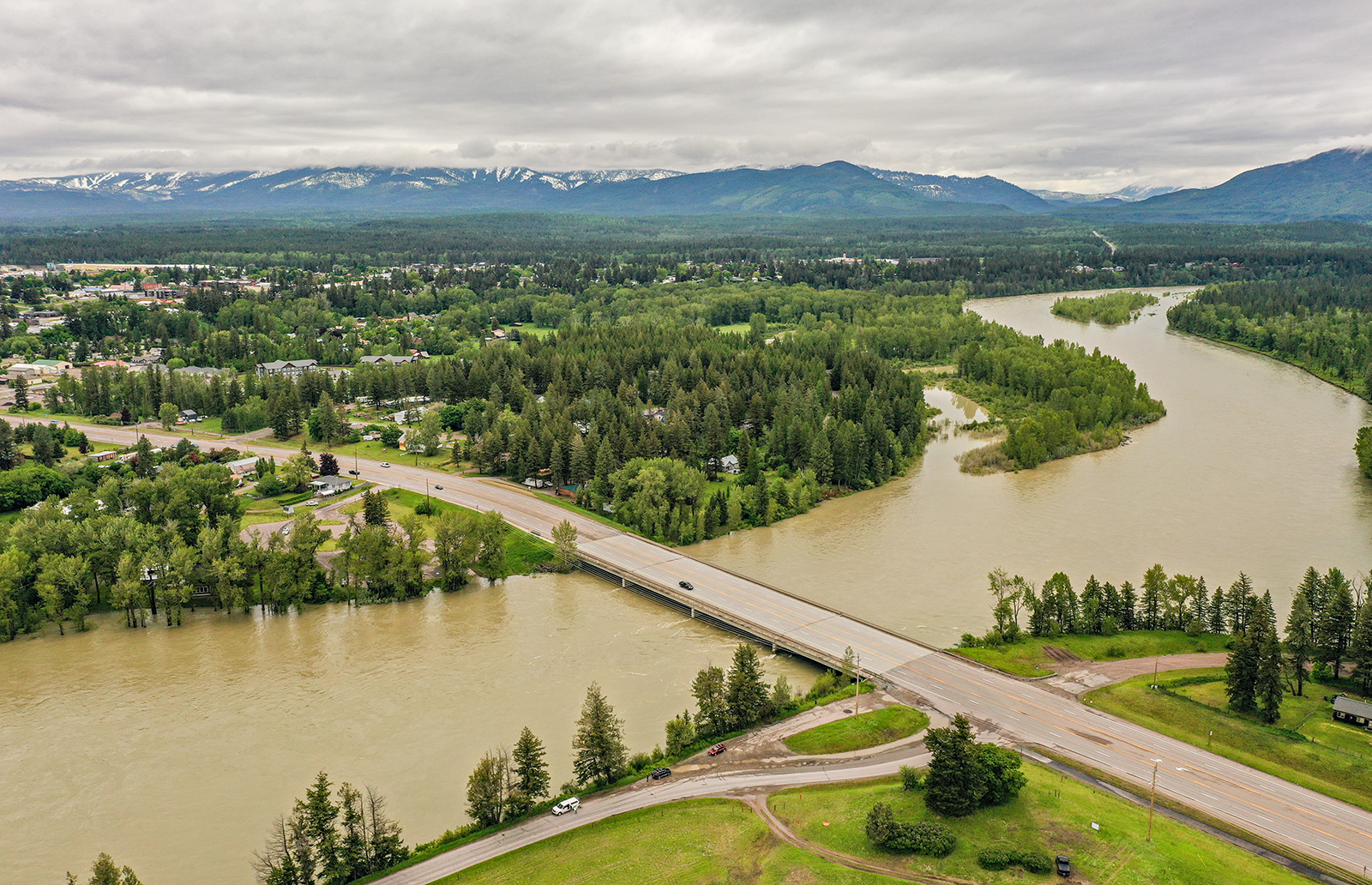
Warm temperatures and heavy rain totaling up to 3 inches could bring the Flathead River near Columbia Falls to flood stage this weekend, peaking at water levels near 14 feet by Tuesday as a risk of minor flooding in urban and flood-prone areas remains possible, according to the National Weather Service.
Areas susceptible to flooding include low-lying buildings and roads in Kalispell, Creston, Columbia Falls and Foy’s Bend. Road closures are possible in areas along U.S. Highway 93 between Kalispell and Somers and Old Steel Bridge Road while crops adjacent to the Flathead River are at risk of flooding, according to the National Water Prediction Service.

Starting on Saturday, May 30, total precipitation volumes are forecast to range from 1 to 3 inches in the Flathead Valley with higher amounts of rain and snow possible in the high terrain along the Continental Divide.
A low-pressure weather system on Friday will bring bands of heavy rain and the potential for gusty winds and hail with “highly efficient rainfall” expected to drench northwest Montana through “at least Monday.”
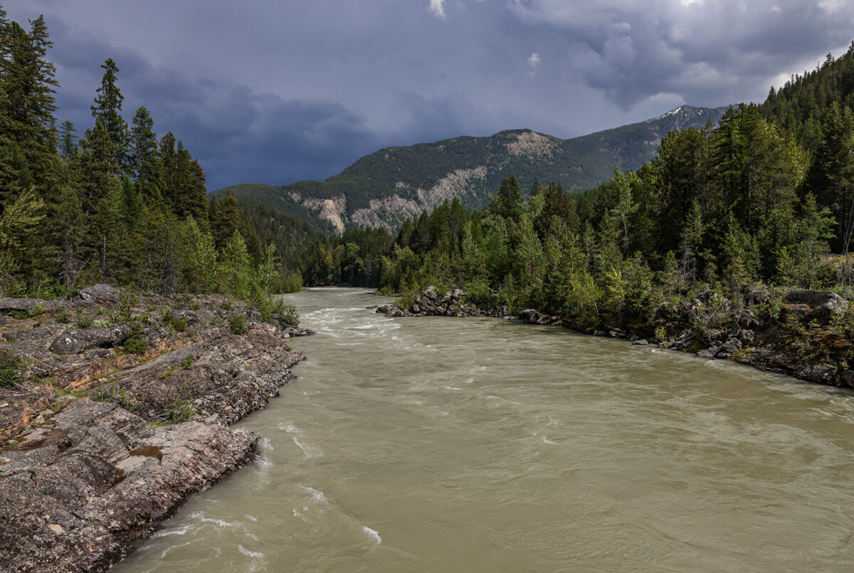
The already saturated soil combined with high-elevation snowmelt will lead to a rise in rivers and streams, with the Middle Fork Flathead River forecast to reach 8.6 feet by Monday while the North Fork could reach 9.4 feet, both of which are below flood stage, according to the National Water Prediction Service.
As of May 28, the Flathead River Basin’s snow water equivalent levels (SWE) were 83% of normal while the Kootenai River Basin was at 60%. The Sun-Teton-Marias basin has dropped to 32% of normal, according to Natural Resources Conservation Service data.
By Sunday morning, snow levels are forecast to drop to around 6,000 feet along the Continental Divide with localized rain amounts of up to 4 inches possible while backcountry users should prepare for “raw, winter-like” conditions and difficult travel.
Following the wet weather event, a quick transition to high pressure and above-normal temperatures are on tap by Tuesday, with returning sunshine and temperatures in Kalispell reaching the mid-70s.