As Warm May Temperatures Accelerate Snowmelt in Montana, the Flathead Basin Remains an Exception
Although snowpack across the state is largely below 50% of median for June 1, the Flathead and St. Mary basins are predicted to see 80% to 90% of normal streamflow
By Tristan Scott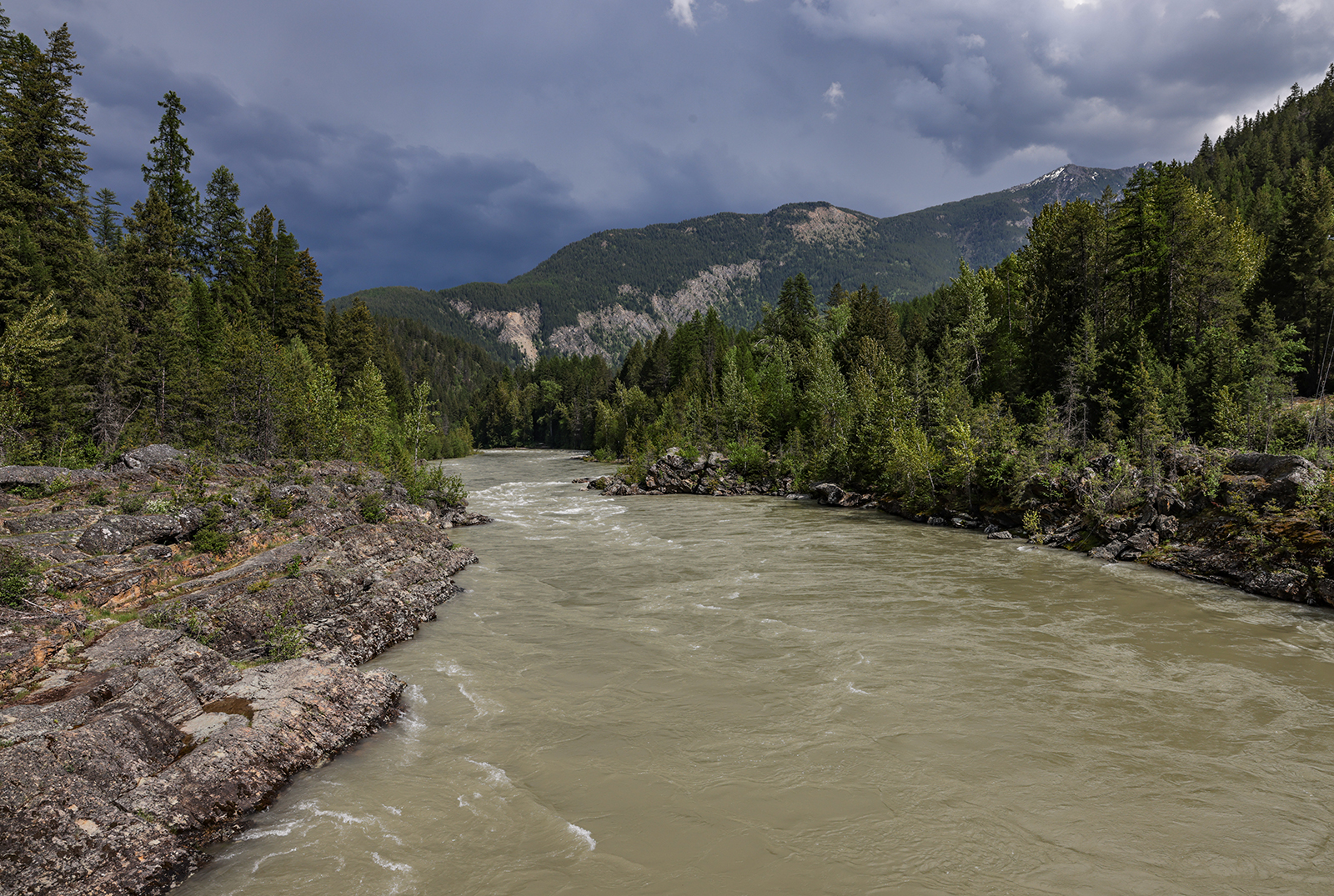
Warm temperatures in May rapidly accelerated Montana’s snowmelt, hydrologists say, with most basins across the state registering below 50% of median for June 1. This month’s deficit signals “a considerable degradation” over the past month, when snowpack ranged from 55% to 90% of median.
Exceptions are the Flathead, Clark Fork, and Upper Yellowstone basins, which are holding 50% to 70% of median June 1 snowpack. Spring storms helped maintain snowpack in the Flathead and Clark Fork basins, while high elevations supported the Upper Yellowstone basin.
“Late spring snowpack percentages rarely tell the whole story,” said Florence Miller, a USDA Natural Resources Conservation Service (NRCS) hydrologist. “When evaluating a season’s snowpack, peak snowpack accumulation and snowmelt timing provide a more comprehensive picture.”
To that end, this year’s snowpack followed regional trends and varied depending on elevation. For example, higher elevation SNOTEL monitoring sites in the Flathead, Clark Fork, and Upper Yellowstone basins saw near- to above-normal snowpack accumulation, Miller said. Higher elevation SNOTELs across the rest of the state received 65% to 90% of a typical season’s snowpack. Statewide, warm temperatures depressed lower-elevation snowpack, with most lower elevation SNOTELs receiving less than 65% of a typical year’s snow. Most basins saw peak snowpack accumulation in mid-March, about a month earlier than normal. This continued into an early snowmelt season.
Still, an NRCS press release said some higher-elevation SNOTELs in these basins “have retained a respectable snowpack.” Due to warmer-than-normal temperatures in May, the majority of the state’s snowpack has already melted and transitioned into streamflow. Of the 145 SNOTELs associated with Montana basins, 111 have melted out, with 66 of them registering the earliest or second earliest melt-out date on record.
Inconsistent May precipitation patterns further accentuated the snowpack’s spatial distribution, the NRCS press release said. The northwest corner of the state and Upper Clark Fork received near- to above-normal precipitation in May, largely due to end-of-the-month storms. Year-to-date precipitation from water also remains above normal in these regions. Southwest Montana received well-below normal precipitation in May. Water-year-to-date precipitation is still buffered by the December atmospheric river but has settled to near or slightly below normal values.
The region west of the Continental Divide remains the only region of the state currently drought free. Drought conditions are widespread east of the Divide. Extreme drought conditions have intensified in southwest Montana and expanded into eastern Montana. However, the NRCS release said the late May precipitation event reduced the extent of extreme drought in the Golden Triangle region of north central Montana.

NRCS water supply forecasts on June 1 also varied with snowpack and precipitation statewide. The forecasts for regions west of the Continental Divide were more optimistic about normal streamflows. Specifically, regions that received significant rainfall from the late May storm, such as the Mission Mountains and Rocky Mountain Front, saw improvements to streamflow predictions. Meanwhile, regions east of the Divide, except for higher-elevation watersheds in the Upper Yellowstone and Bighorn, saw reductions in water supply forecasts from last month.
A wet June and July could increase forecasts toward the 30% or 10% exceedance values, while a dry summer could decrease forecasts toward the 70% or 90% exceedance values. Streamflow volumes are forecast for both the June-July period, reflecting early season irrigation needs, and the June-September period, which includes late season irrigation demands.
“When looking at streamflow forecasts, it is important to take into account the full forecast suite, not just the 50% exceedance probability forecast,” Miller said.
For the June-July forecast period at the 50% exceedance level, streamflows are largely expected be near normal in the Clark Fork and Kootenai basins, with some forecast points below normal. Streamflow from the Mission Mountains and Rocky Mountain Front is predicted to be near to above normal. The Flathead and St. Mary Basins are predicted to see 80% to 90% of normal streamflow. Rapid snowmelt decreased Bitterroot forecasts to around 60% of median streamflow. The Jefferson, Madison, Gallatin, Smith, and Musselshell basins are forecast to have 70% or less of normal streamflow. The Upper Yellowstone basin is forecasting 70% to 80% of normal streamflow, while the Bighorn and Lower Yellowstone are predicting 60% to 70% of normal streamflows. Higher-elevation watersheds draining the Absaroka-Beartooth and Wind River ranges are forecasting 75% to 100% of normal streamflow. The Powder and Tongue basins are predicting severely reduced streamflows of less than 60% of median.
“Continued June precipitation could help improve these forecasts, though in most regions east of the divide, full recovery to normal streamflows is unlikely. Additionally, with snowmelt occurring earlier than normal, runoff volumes are likely to be shifted earlier in the season,” Miller said.
The full Water Supply Outlook Report is available on the Montana Snow Survey website. In addition, real-time snow survey data can be found at nrcs.usda.gov/montana/snow-survey.