City of Whitefish Releases Draft of 2026 Community Wildfire Protection Plan
Community members have until Aug. 2 to review and leave comments on the document, which identifies wildfire hazards and recommendations to reduce wildfire risk in the city.
By Lauren Frick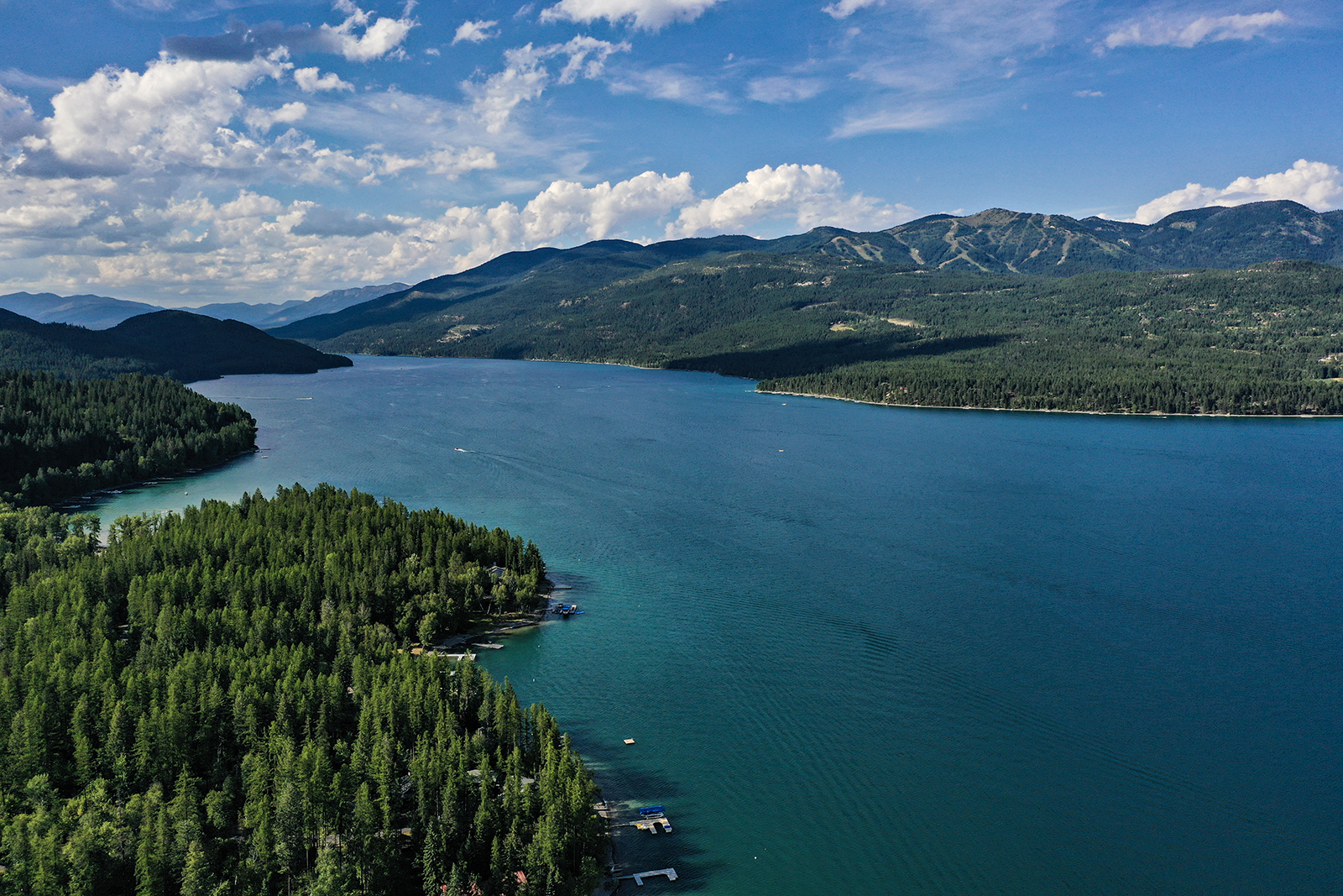
The city of Whitefish this week released a draft of its city-specific Community Wildfire Protection Plan (CWPP), which identifies wildfire hazards and recommendations to reduce wildfire risk to people, property, infrastructure and natural resources.
Community members have until Aug. 2 to review the 2026 Whitefish Community Wildfire Protection Plan — a nearly 230-page document — and provide feedback ahead of the plan’s finalization. Comments can be submitted through this online form.
“Public feedback is an important part of finalizing the plan and ensuring it reflects local priorities, concerns, and opportunities for wildfire preparedness and risk reduction,” the city said in a release this week.
City councilors in January voted to enter a roughly $88,000 agreement with SWCA Environmental Consultants to develop the plan, commencing a roughly eight-month process to assess wildfire risk, identify priority areas for mitigation, and guide coordinated action among relevant stakeholders such as city, state, and federal agencies, land managers, homeowners associations and private land owners.
City officials have said the plan would be crucial to ensuring the city is as prepared as possible when it comes to wildfire, especially as Whitefish is ranked as the second most vulnerable city in Montana to wildfire.
Wildfire risk in and around Whitefish is shaped by forest conditions surrounding the wildland-urban interface (WUI), continued growth, seasonal population changes, complex land ownership, critical water resources, and access constraints in communities near the city, including Haskill Creek, Iron Horse, Reservoir Road, Round Prairie and Lion Mountain, according to the draft of the 2026 CWPP.
The community wildfire protection plan aims to provide a framework for hazardous fuels reduction, treatment maintenance, community preparedness, structural ignitability reduction, evacuation readiness, and wildfire response coordination. It does not mandate specific projects, building codes, or zoning or require implementation.
The 2026 CWPP’s planning area included city limits, the Haskill Basin Watershed, Whitefish Mountain Resort, and surrounding lands relevant to wildfire mitigation and emergency response. The broader planning area extended beyond city limits to incorporate adjacent areas that influence wildfire risk and response, including Whitefish Lake, forested WUI neighborhoods, public and private lands, utility corridors, and recreation areas.
Key challenges identified across the planning area included hazardous fuels in forested WUI areas, continued growth near the community edge, constrained access and evacuation routes, municipal watershed protection needs, utility corridor concerns and increasing demands on fire response capacity, according to the plan draft.
Community members planning to review the document will navigate six chapters, ranging with topics like wildfire risk assessment and mitigation strategies, with the final chapter, “homeowner actions and resources,” providing homeowners and landowners with strategies and resources for creating defensible space and implementing home hardening.
Residents can find mitigation strategies and recommended projects — which include potential funding sources — specific to where they live in the city as the plan identifies 13 “areas of concern” (AOC). These AOCs identify locations where wildfire risk, community values, access constraints, infrastructure or implementation opportunities overlap. Some examples include Northeast Whitefish Lake/Haskill Creek, Iron Horse, Whitefish Hills, Lupfer, Beaver Lake/Lion Mountain.
Another key aspect of the plan is the outlining resources to increase evacuation readiness and preparation. The plan includes a series of road system modeling and analyses, which “contribute to understanding the overall risk to evacuation routes but do not provide recommendations for specific evacuation routes and should not be considered as evacuation plans or maps.”
“Instead, these analyses highlight areas that may require roadside vegetation management and other mitigation efforts to improve safety during an evacuation scenario,” the draft states.
Click here to review the 2026 Whitefish Community Wildfire Protection Plan.