Air Quality Alert Issued in Flathead County as Crews Make Progress on Skillet Fire
Driven primarily by wildfires in Oregon and Washington, particulate levels are rated unhealthy in the Flathead Valley as moisture is forecast on Wednesday
By Maggie Dresser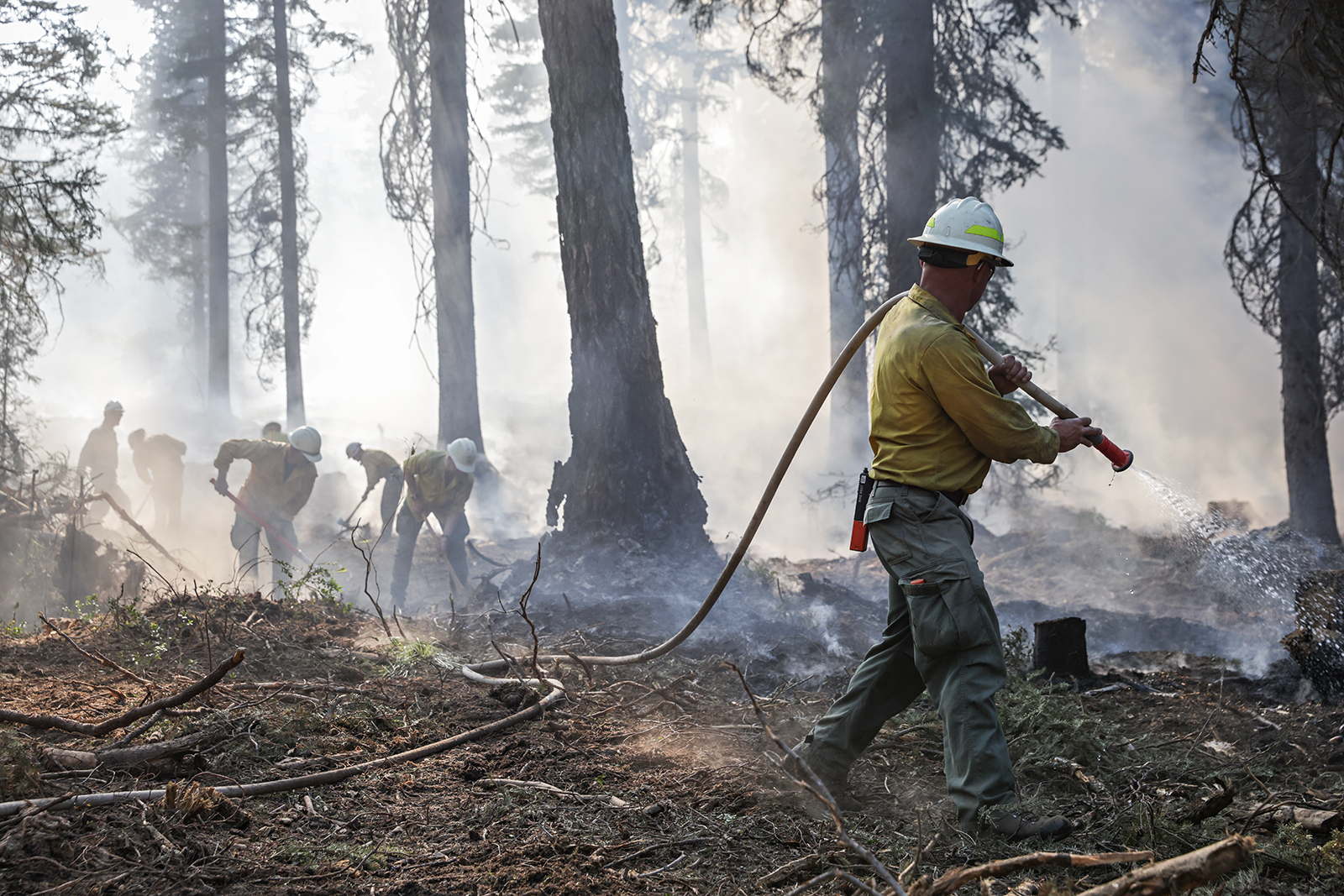
Firefighting teams continue to make progress on the 3,299-acre Skillet Fire west of Olney even as the Montana Department of Environmental Quality (DEQ) issues an air quality alert for Flathead County, where dense smoke from wildfires in Washington and Oregon, in addition to local fires, have combined to create unhealthy air quality conditions.
As of Monday morning, the Skillet Fire was 26% contained. Firefighters reported making progress in challenging terrain, working toward Alder Creek from the Martin Creek Road while preparing to tie the fireline into the East Fork Fire scar, according to the Flathead National Forest.
Mechanical resources working south from Alder Creek have successfully tied into the Robertson Creek area and crews have widened the containment line on the southeast corner of the fire using mop-up operations. On the west side of the fire, heavy equipment operators are securing and widening the fireline from Twin Meadows to the East Fork Fire scar on the west.
“Crews were very successful yesterday in getting the line punched in with the dozer up here,” Great Basin Team 7 Incident Command Chief Ryan Jones said in an Aug. 10 briefing. “We’ve been backing that up with some hose lays, mopping up and securing. We did scout for some upper containment lines into the East Fork Fire scar from 2023.”
Residents were able to return to their homes in the Good Creek and Alder Creek area after the Flathead County Sheriff’s Office lifted an evacuation order last week; however, an evacuation warning remains in place.
Closure orders and a security checkpoint remain in place for the Flathead and Kootenai national forests.
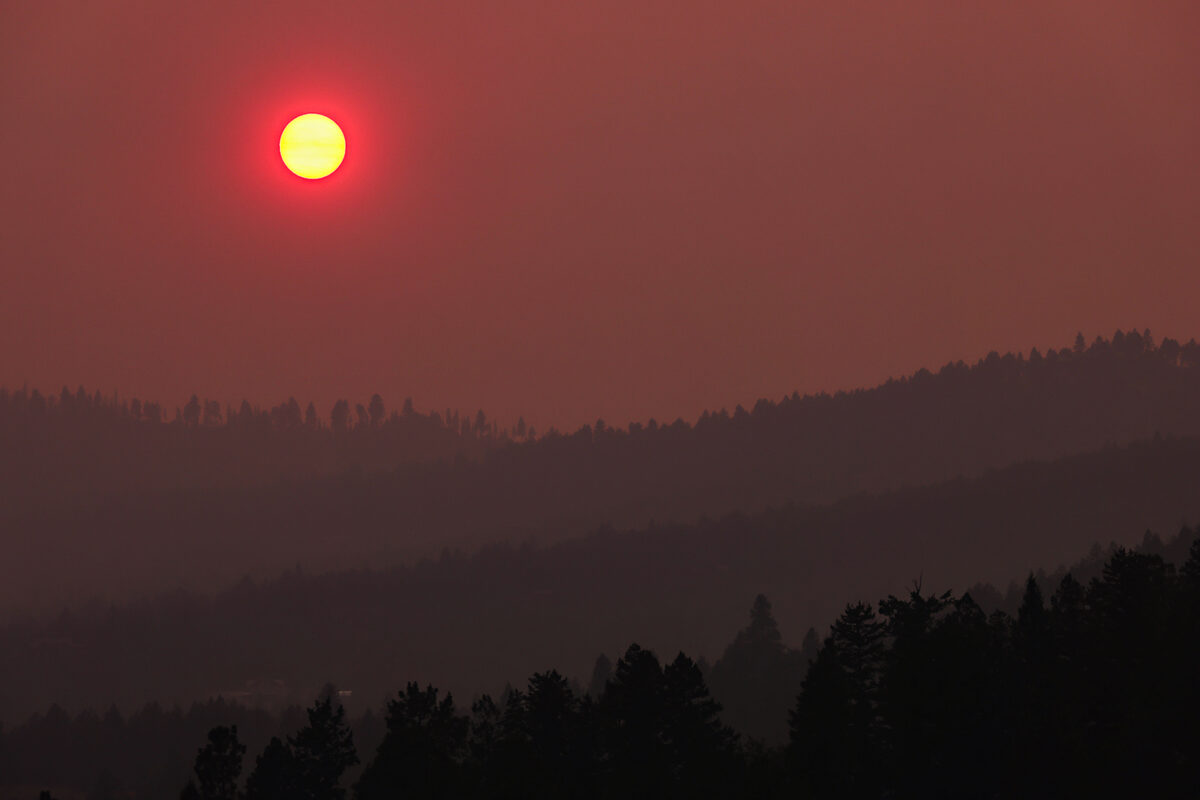
Meanwhile, as local and regional wildfires continue to degrade air quality, particulate levels in Columbia Falls, Libby and Missoula were rated unhealthy but are expected to improve by Tuesday afternoon, according to a DEQ smoke forecast.
Statewide, wildfires on Sunday afternoon were most active in the Pioneer and Sapphire Mountains, which includes the Bobcat Lake Fire burning more than 7,000 acres and the Sand Creek Fire, has grown dramatically over the last 48 hours to 15,000 acres. Both of those fires are in Beaverhead County.
Burning in the Sapphire Mountains between Georgetown Lake and the Bitterroot Valley, the Moose Fire has burned nearly 4,500 acres while the Black Bear Fire has burned more than 1,800 acres, sending smoke into the Helena area.
Hot, dry and breezy conditions early this week will continue to increase fire activity on established and emerging wildfires.
A low-pressure weather system out of Canada is forecast to bring cooler air while monsoonal moisture surging out of the desert southwest is expected to bring showers and thunderstorms by Wednesday afternoon. Clouds, cooler temperatures and precipitation should begin to ease fire behavior and reduce smoke production on regional wildfires by Friday, according to DEQ.
In northwest Montana, the weather system will slightly increase humidity while ridgetop wind gusts of up to 18 mph could increase fire activity.