Western Montana is in the clutches of an historic dry spell with triple-digit temperatures on the horizon, worsening the threat of fire danger and severely lowering stream flows.
Open burning season is being closed a week early due to heightened fire conditions, according to state officials. The last day to burn debris in Flathead County is June 23.
Managers from multiple agencies will meet June 25 to discuss possible restrictions entering the Fourth of July holiday weekend.
Fire danger is higher than normal and continues to increase with little relief in sight.
The upcoming week is expected to see temperatures surpassing 100 degrees. Kalispell is forecast to hit 102-103 degrees June 28-30. The relative humidity levels are expected to be extremely low, adding to the troublesome scenario.
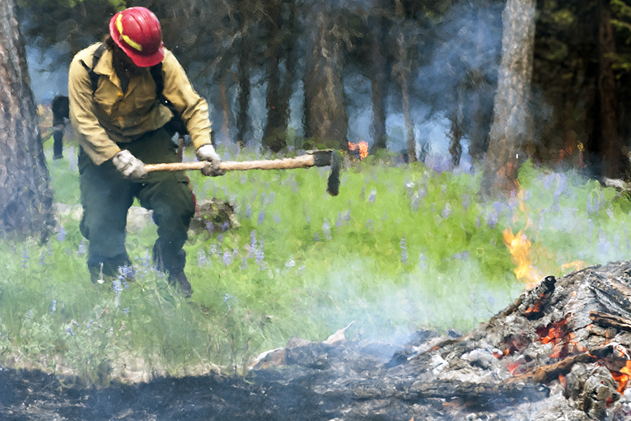
Local crews have already responded to multiple incidents in recent weeks, including a 2-acre fire near the Jewel Basin last weekend. Nearly 20 resources responded on June 21 and by Monday afternoon, the fire was 50 percent contained.
The Flathead County Office of Emergency Services is asking residents to take precautions as the holiday weekend approaches. Authorities are seeing a large number of human-caused incidents from leftover campfires and ditch fires. Dry conditions can lead to rapid wildfires, OES officials said.
The rivers in this corner of the state are dropping to record lows entering the final week of June, according to National Weather Service officials. Flathead Lake was able to reach its normal pool levels after NorthWestern Energy officials expressed concern over possible drought management.
Kalispell experienced its driest May on record last month. The stretch from early spring to summer is on pace to be equally historic. The city has received 20 percent of normal precipitation, according to the National Weather Service. West Glacier has received only 45 percent of normal precipitation. From May 1 to June 22, Kalispell received only 0.82 inches of rain. The 30-year average is 4.54 inches. West Glacier, which typically receives 6.11 inches of rain, has received 2.82 inches in that same span.
“That’s the last thing we needed after having our snowpack melt so early,” said Ray Nickless, a hydrologist with the National Weather Service.
Comparisons are already being made to 2001, when Montana suffered an extreme wildfire season.
“We haven’t seen it this bad in a long time,” Nickless said of the current dry conditions.
A state drought committee concluded June 18 that snowpack melted a month ahead of schedule and exacerbated the slight drought conditions persisting in western Montana.
The state’s 31 Snotel sites are reporting zero remaining snow, the first time that has ever happened this early, according to records by the Department of Agriculture.
Montana is distressed enough to have been included in a June 12 drought conversation between President Barack Obama and the governors of six western states, and temperatures are predicted to spike this week
“It’s not looking good,” Montana Direct Protection Fire Coordinator Harold Gemmell said after the Governor’s Drought and Water Supply Advisory Committee meeting.
Tristan Scott and the Associated Press contributed to this story.