WHITEFISH — For 1,200 miles, from Chief Mountain in Glacier National Park to the Pacific Ocean, a footpath meanders through the mountains of Montana, Idaho and Washington.
While the Pacific Northwest National Scenic Trail may not be as well known as some of the nation’s other long-distance paths — including the Continental Divide Trail, the Pacific Crest Trail and the granddaddy of them all, the Appalachian Trail — a small group of people is working tirelessly to elevate its status. As part of that effort, the Pacific Northwest National Scenic Trail Advisory Council met in Whitefish last week for its biannual meeting to discuss the route’s future.
The two-day meeting on Nov. 2-3 at Grouse Mountain Lodge included representatives from all levels of government, as well as historians, recreation advocates and a timber representative.
“We’re seeing a lot more interest in hiking long trails like this, but the work done here is important to everyone, even those just hiking short sections of it,” said Eric Smith, deputy superintendent of Glacier National Park, during his opening remarks on Nov. 2. “This is a trail that crosses an incredibly diverse landscape, from the east side of Glacier National Park all the way the Pacific Ocean.”
According to Matt McGrath, Pacific Northwest National Scenic Trail Program Manager for the U.S. Forest Service, the 1,200-mile trail was first proposed in 1970 and was designated a national scenic trail by Congress in 2009. That designation required the Forest Service to create a management plan. McGrath, who is based in Portland, Oregon, said that is especially challenging because the trail passes through seven national forests and three national parks.
“Instead of managing the trail as small segments, we want to manage it as a whole,” he said. “Of course all of these national parks and forests have their own management plans, so the challenge for us is to figure out how we fit into those plans.”
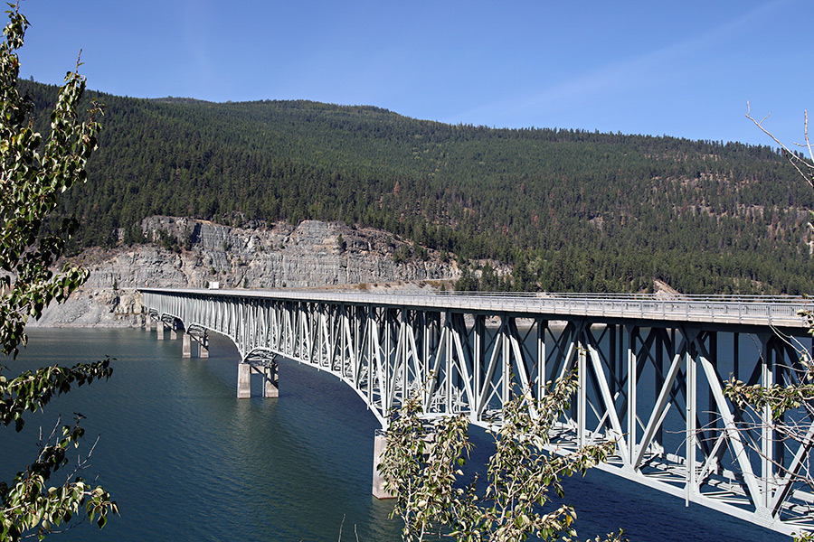
The trail begins at the Chief Mountain Customs Station on the U.S.-Canadian border in Glacier National Park. From there, it veers west, passing Waterton Lake and crossing the Continental Divide near Chapman Peak. The trail follows Bowman Lake and exits Glacier at Polebridge where it enters Forest Service land. The trail continues west to Eureka, where it briefly follows U.S. Highway 93 and then Montana Highway 37 from Rexford to the Koocanusa Bridge. It then heads into the woods for the remainder of its journey to Idaho and on to Washington.
At least 400 miles of the trail are currently on existing roads, and McGrath said one of the challenges in developing the route is getting it off highways. He said the section of trail along Montana Highway 37 near Rexford is a prime example of an area where supporters hope they can construct a new trail. However, that could be a decades-long process, and McGrath noted that it has taken nearly 40 years to get all of the Pacific Crest Trail off highways.
Perhaps the biggest challenge facing supporters is promoting the trail while maintaining its remote and rustic nature.
“There is a real sense of adventure on this trail — you really do need a map and a compass to hike it, and that’s something people really enjoy,” McGrath said.
For more information about the Pacific Northwest National Scenic Trail, visit www.fs.usda.gov/pnt.