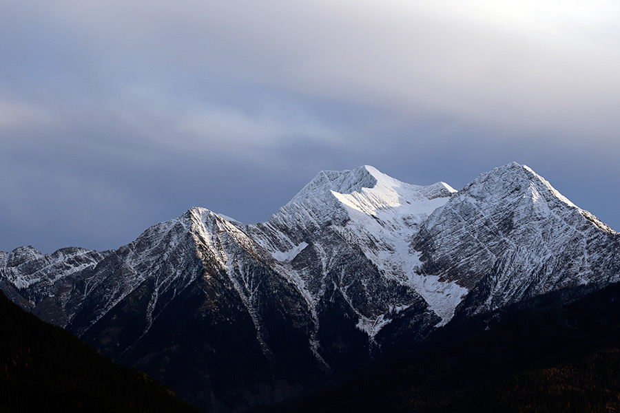
Though this winter may seem colder and wetter than last year’s, measurements of the region’s snowpack show that this season is lagging behind historic averages.
The 11 Natural Resources Conservation Service SNOTEL stations in or around the Flathead Valley all reported lower levels of snow depth and snow water equivalent at the end of 2015 than the period of record average. Just two SNOTEL stations reported deeper snow on Dec. 31, 2015, than they did at the end of 2014, and four reported a greater snow water equivalent.
 Though levels of precipitation are not worrisome, said USDA Natural Resources Conservation Service’s Montana water supply specialist Lucas Zukiewicz, the snowpack in this region is, overall, below normal.
At the end of 2015, snow depth topped out around 66 inches in parts of the Swan Range, the deepest level in the state. Elsewhere around the region, however, the depth still hovers around 20 inches. The 11 local SNOTEL stations combined measured 373 inches of snow on Dec. 31, compared to 461 inches measured on the same date in 2014 and the 410.34-inch average.
Zukiewicz said that while “people love to know how deep the snow is – skiers tend to focus on snow depth – snow water equivalent may be a more meaningful measurement.” Plus, by this measurement, the valley’s snowpack health looks like it’s in better shape.
Still, when compared to data from last year, which closely matched the period of record, the snow water equivalent clocks in slightly below normal. As of Jan. 4, 2016, SNOTEL stations in the Flathead had accumulated 80 percent of the snow cover that experts hope to see by this point in the season. Other regions in the state, like the Bitterroot and Jefferson in Southwestern Montana, have seen over 100 percent of their normal snow water equivalent. The Kootenai is at 87 percent.
By measuring the amount of water in the snowpack, the snow water equivalent provides a record of the amount of precipitation that has fallen and stuck around as snow. This gauge is useful because it tells us how much water will trickle from the mountains into our streams and rivers come springtime. It’s important to know this, Zukiewicz said, because the snowpack is the state’s biggest reservoir and can determine the severity of summer’s fire season.
“October was kind of lackluster in terms of precipitation,” Zukiewicz said, “but November and December ended up being pretty decent … We still have a number of months to see how things play out.”