Montana’s snowpack is closer to average than our mild winter might suggest, as residents across the state grew accustomed to snow-less sidewalks in December and celebrated a decidedly not-white Christmas.
The close-to-normal snowpack is largely thanks to autumn snowfall, when storms provided a base in the mountains before the tap ran dry for a prolonged period in many areas.
The early snowfall particularly favored regions along the Continental Divide in western and south-central Montana, where the highest snowpack percentages are found, according to a water-supply outlook by the U.S. Department of Agriculture Natural Resources Conservation Service (NRCS). Some of those basins were at normal or slightly above normal when the report was published on Jan. 1.
“What’s been unique about this winter so far is that the snowpack in these regions would be below normal for this date if it weren’t for the storm that dropped significant totals during the last week of October into early November,” Lucas Zukiewicz, hydrologist for the NRCS, said in the outlook.
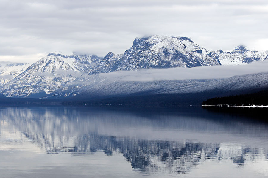
In the Flathead Basin, sporadic dumps from late-December through last weekend bumped the snowpack up to 84 percent of normal as of Jan. 20.
Still, it’s a far cry from last winter, when the state’s snowpack was among the best in the country and well above historical averages, with some areas breaking snowfall records on the heels of a record-breaking or near-record 2016-2017 winter.
The NRCS measures snowpack in terms of snow-water equivalent, defined as “the amount of liquid water contained within the snowpack.”
“In other words, it is the amount of water that will be released from the snowpack when it melts,” the NRCS states.
Snow-water equivalent is used instead of snow depth because the primary interest is water supply during the spring and summer, when farmers are irrigating, outdoor recreationists are playing on rivers and lakes, water managers are monitoring reservoir levels and everybody is wondering about floods or droughts.
“Snow water equivalent is used as the standard for summarizing individual site and basin snowpack conditions,” the NRCS states. “Snow depth can vary greatly from hour to hour, due to settlement and compaction, but the amount of water contained within the snow remains consistent.”
Other basins are even closer to normal, including Gallatin (97), Upper Clark Fork (91), Bitterroot (90) and Kootenai (88). All basins in Montana listed on the NRCS website are above 80 percent of normal except Sun, Teton, Marias, which was at 72 percent on Jan. 20.
Snow-water equivalent measurements, among others, are taken at Snowpack Telemetry (SNOTEL) stations and snow courses across the western U.S. The NRCS operates over 830 SNOTEL stations in the West to measure snowpack, precipitation and a number of other parameters for seasonal water supply forecasting. The sites transmit data hourly for use by hydrologists, water managers, recreationists and the public.
The outlook could be different in early spring, as the National Weather Service is predicting El Niño conditions for the region with potentially above-normal temperatures and below-normal precipitation through February. In any case, a lot can change in the coming months.
“It’s kind of like being two chapters into a 10-chapter book,” Zukiewicz told MTPR on Jan. 8. “We’re pretty early in the season at this point, so things can turn around. It’s not a given that they will, but it’s still early. We could see recovery in some of our basins or we could see conditions persist.”
Reservoir storage across the state is above average in many basins due to abundant runoff last spring and summer. Zukiewicz said this could prove important if the weather takes a turn to dry and warm through the rest of winter. The NRCS Montana Snow Survey will issue its next Snowpack and Water Supply Outlook on Feb. 1.