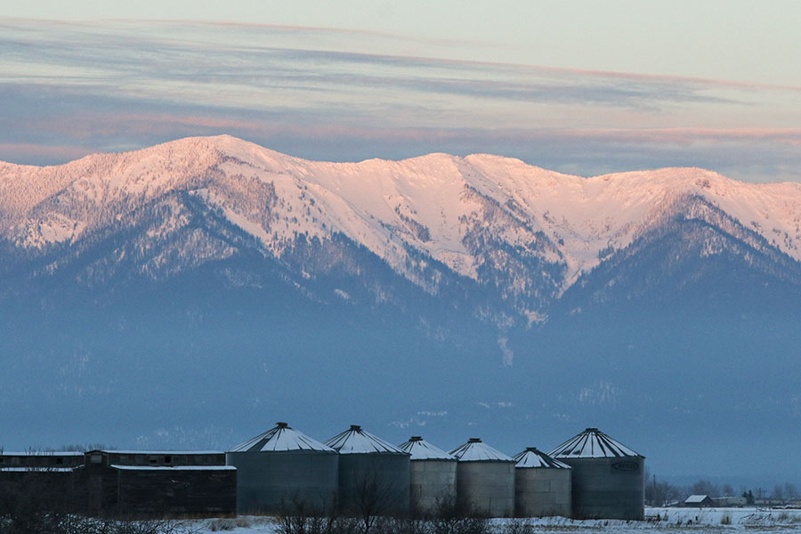
Despite record-breaking snow in February, Northwest Montana still has the lowest snowpack in the state and is lagging behind the historical median, while the rest of the state is above, often well above, normal for this time of year.
That data is according to the latest monthly snowpack report from the United States Department of Agriculture’s Natural Resources Conservation Service (NRCS), which also notes “there is still time for improvement” in below-average basins.
The Kootenai River basin had the state’s lowest snow-water equivalent in the report, as measured on March 1, at 91 percent of normal, while the Flathead River basin was slightly better at 93 percent. Last year at this time, the Flathead was at 138 percent.
By the morning of March 7, those figures had fallen to 86 in the Kootenai and 91 in the Flathead, although it’s unclear if the measurements had accounted for the day’s new snowfall. By comparison, the Upper Yellowstone, Gallatin and Madison basins as of early March 7 were at 119, 125 and 126 percent, respectively.
The NRCS report notes that snow hit the entire state hard in February, and was “especially impressive in some southern and central regions.”
“Sixteen NRCS snowpack measurement locations set new records for February snowfall in central and southern Montana, and an additional 13 sites recorded the second highest monthly totals,” said Lucas Zukiewicz, water supply specialist for the NRCS.
Kalispell also broke its all-time record for February snowfall with 33.2 inches, according to the National Weather Service.
The heavy snow was enough in most basins to make up for the state’s dry December and January, but while it helped in Northwest Montana, the boost wasn’t enough to catch up to the median. In addition to Kootenai and Flathead, other basins still under normal are Lower Clark Fork, St. Mary-Milk, and Sun-Teton-Marias.
“Streamflow forecasts in these regions reflect the lack of fall precipitation and below normal snowpack on March 1,” Zukiewicz said.
Streamflow forecasts issued for April 1 through July 31 indicate near to above average seasonal volumes in many areas across southern Montana, according to the NRCS, but are slightly below average in some northern basins, including the Flathead and Kootenai.
The NRCS encourages water users to look at their river basin of interest for individual point forecasts, which can vary widely within a major river basin. For example, the Mission Valley and Little Bitterroot-Ashley sub-basin areas were actually at or above average for snow-water equivalent as of March 1, while all surrounding sub-basin areas within the greater Flathead basin were below.
“Most of the annual streamflow in the Western United States originates as snowfall that has accumulated high in the mountains during winter and early spring,” the NRCS notes.
The NRCS measures snowpack in terms of snow-water equivalent, defined as “the amount of liquid water contained within the snowpack.”
“In other words, it is the amount of water that will be released from the snowpack when it melts,” the NRCS states.
Snow-water equivalent is used instead of snow depth because the primary interest is water supply during the spring and summer, when farmers are irrigating, outdoor recreationists are playing on rivers and lakes and water managers are monitoring reservoir levels.
The NRCS points out “there is still plenty of winter and spring left to come.” Snowpack in the state typically peaks in early April west of the Continental Divide and in mid to late April east of the divide.
“We have another month or two of snow accumulation to go, and it can be an important couple of months to top things off before we start to see snowmelt and runoff,” Zukiewicz said. “We’re back on the right track, so let’s hope that the snow keeps flying and the above average temperatures don’t show back up before then.”
For more information, visit www.nrcs.usda.gov/wps/portal/nrcs/mt/snow.
