Cool, Damp Weather Slows Wildfire Growth
Crews battling blazes in Northwest Montana reported minimal fire activity over the weekend as temps start to climb again
By Tristan Scott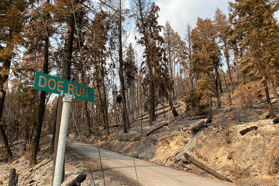
An inch of rain fell on the Hay Creek Fire burning west of Glacier National Park over the weekend as a moisture-laden cold front converged on Northwest Montana, aiding fire crews attempting to gain an advantage over the tinder-dry conditions that have fueled an outbreak of wildfires across the region.
The break in western Montana’s sustained heat wave was a welcome reprieve to firefighters battling blazes from Polson to Polebridge even as the week’s weather forecasts call for a warming and drying trend under mostly sunny skies, with temperatures approaching triple digits at lower elevations and valley humidity dipping back into the teens.
Still, the cool, damp weather provided fire crews an opportunity to slow the spread of a half-dozen wildfires burning in Flathead, Lake, Lincoln, and Sanders counties, reinforcing fuel breaks and easing evacuation orders on the Boulder 2700 Fire on the east shore of Flathead Lake, which leveled more than 20 structures when it grew abruptly under warm winds on the night of July 31.
On Aug. 10, an incident command report estimated the size of the Boulder 2700 Fire at 2,072 acres and pegged its perimeter containment at 33%, while characterizing weekend precipitation of between 0.5 inches and 1.4 inches as a “season-slowing event.”
“No growth is expected over the next few days until significant drying occurs,” the latest report states.
The cause of the devastating fire remains under investigation but is believed to have been human-caused. A Type 2 Northern Rockies Incident Management Team 4 is at the helm, including 279 personnel.
Evacuation orders issued on July 31 for residents along Highway 35 from Mahood Lane north to mile marker 13 remain in effect, although residents south of Mahood Lane are allowed to re-enter the area. Residents must acquire a vehicle tag prior to re-entry by visiting the checkpoint at Turtle Point Road on Highway 35 between 6 a.m. and 10 p.m.
On the Hay Creek Fire burning five miles west of Polebridge, crews are using mechanical equipment to reduce fuels along Spruce Creek Road and are reinforcing shaded fuel breaks being used as contingency lines. Hand prep work is being conducted along the Red Meadow Road to use as an egress route in case of an evacuation in the area south of the fire. Although aerial observations were not permitted on Sunday due to the weather, incident commanders said no additional fire spread was reported due to the rain.
A community meeting is scheduled for Aug. 11 at 6 p.m. at Sondreson Hall.