Snowpack Levels are Near Average in Northwest Montana
The Flathead River Basin snow water equivalent levels are at 101% of normal while most of Montana’s levels are well below normal
By Maggie Dresser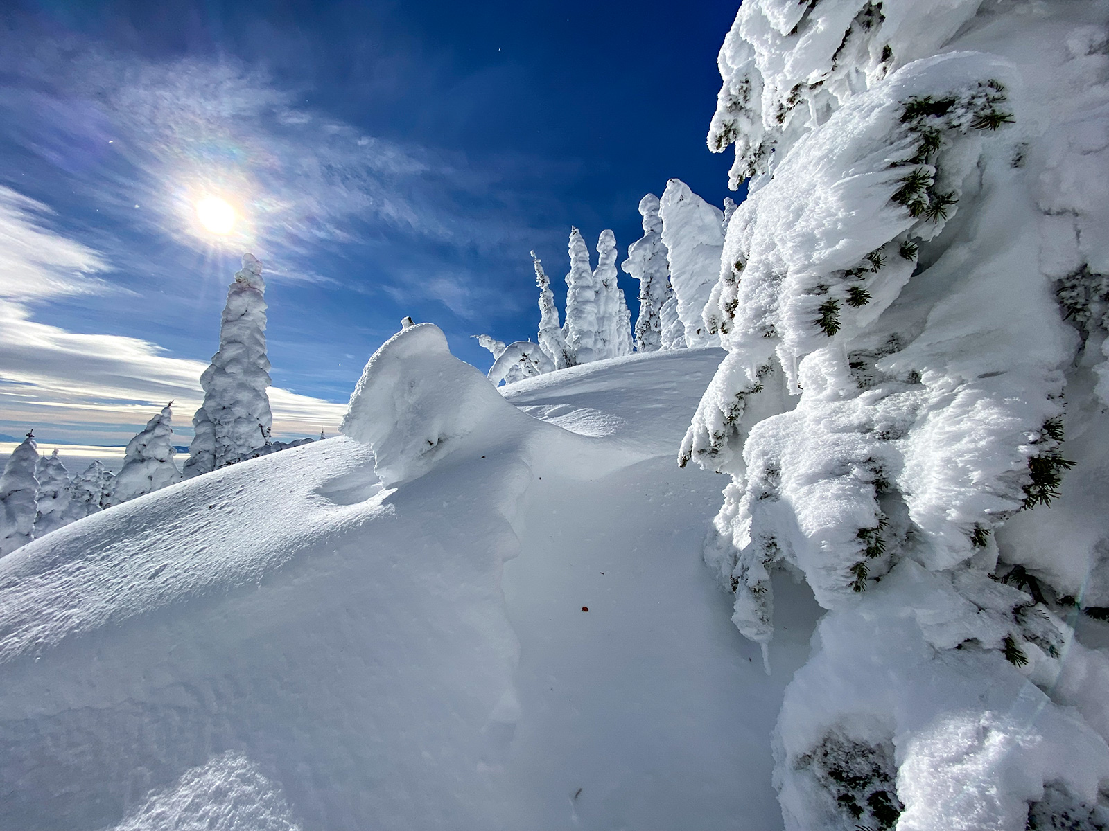
Despite a drought in most of the state, northwest Montana and the northern Rocky Mountain Front are experiencing near to an above normal snowpack as spring runoff continues, says Eric Larson a hydrologist with the USDA Natural Resources Conservation Service.
As of April 14, the snow water equivalent (SWE) levels in the Flathead and the Kootenai river basins were at 101% of normal based on the median percentage between 1991 and 2020. The Sun-Teton-Marias River Basin SWE levels were 107%.
Forecasts predict a near-normal to an above-normal streamflow through July west of the Continental Divide, Larson said, while streamflow’s on the east side of the divide will be below normal.
“Statewide, the snowpack is closer to normal west of the Continental Divide,” Larson said. “Southwest Montana is further below normal. The southwest in particular has had a near-record low precipitation, if not an actual record.”
The Helena Valley River Basin SWE levels were at 72% and the Gallatin levels were at 74% as of April 14.
In southwest Montana, the month of December alone delivered more snow than mid-January through early-April totals, Larson said.
While a recent snowstorm dropped 15 to 20 inches of snow and two inches of water within 24 hours at some weather stations around Bozeman, Larson says the region is still six inches of water and precipitation shy of a typical snowpack.
The Flathead benefited from storms flowing from Canada this winter, Larson says, where regions in Alberta and British Columbia had a “substantial snow year.”
Despite weeks of above-normal temperatures and minimal precipitation at the end of March, Larson says heavy precipitation that fell in the northwest region in the beginning of the month helped the snowpack before the warm weather arrived.
In the first week of March, a weather station near West Glacier received 2.4 inches of rain while a station at an elevation of 6,300 feet on Flattop Mountain in Glacier National Park received 4.4 inches of a mixture of snow and rain, according to the April 1 Montana Water Supply Outlook report.
“It buffered it a little for the next few weeks of warm weather,” Larson said. (The northwest) is sitting at a near-normal snowpack.”
Larson says precipitation in October and November is also driving higher streamflow forecasts in northwest Montana and heavy rains in the fall helped prime the soil.
“We got rain rather than snow,” Larson said. “It was a slow onset to the snowpack, but it helps overall.”
According to the National Drought Monitor, 85% of the state is in some category of drought except for northwest Montana, and more than half of the state is experiencing extreme drought conditions.