Updated: 9:40 a.m.
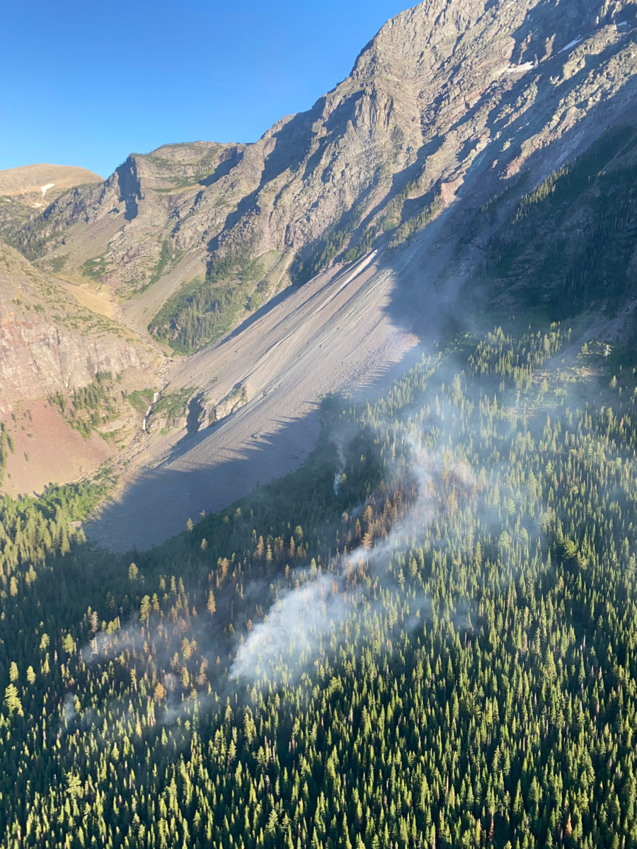
An infrared overflight of the Quartz Fire burning in the northwest corner of Glacier National Park gave fire managers the first opportunity to accurately map its size, which they pegged at 802 acres late Thursday night after east-northeast winds continued to fan the lightning-sparked blaze throughout the day.
The overflight provided the most accurate mapping to date of the fire’s size and footprint, which fire managers had not been able to observe from the air due to smoke.
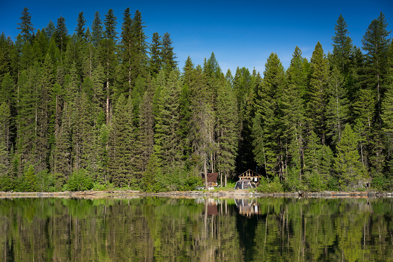
Efforts to protect the historic Quartz Lake Patrol Cabin, the Quartz Lake Wilderness Campground and a footbridge at the foot of Quartz Lake are underway, with a team of four firefighters wrapping the building in fire-resistant material on Thursday while laying hoses with pumps and sprinklers.
Their objective, according to Glacier Park Public Information Officer Gina Kerzman, is to brace for a potential spread of the Quartz Fire, which was initially reported the morning of Aug. 14 by a firewatcher stationed at Cyclone Lookout along the North Fork Flathead River. Initially confined to a high elevation on the west side of the Continental Divide, where it posed little risk to resources or infrastructure, the Quartz Fire spread throughout the week as winds pushed it to the west and southwest within the Quartz Creek drainage.
Although wildland firefighters in Glacier National Park have not begun suppression efforts on the fire, they are moving forward with standard structure protection for the historic cabin at the foot of Quartz Lake.
Prior to the overflight on Thursday evening, fire managers estimated the fire was burning at 500 acres in size and is located approximately three miles northeast of the cabin. However, Kerzman emphasized that those estimates were subject to change, and that aerial efforts to measure the fire’s precise footprint have been stymied by heavy smoke and low visibility.
“We are hoping to get in there tonight to map it with some infrared imaging,” Kerzman said Thursday, prior to the infrared overflight. “There’s been no movement to the east but it is now visible on both sides of the Continental Divide.”
Also Thursday, Glacier National Park officials enacted a closure order for trails and backcountry campsites in and around the Quartz drainage.
Both the Quartz Lake Loop Trail and the Quartz Creek Trail starting from just south of Bowman Lake are closed, Kerzman said, as are the wilderness campgrounds at Quartz Lake and Lower Quartz Lake. The area is accessed from Bowman Lake and the Polebridge Entrance Station.
According to incident managers, the Quartz Fire is burning in steep terrain with subalpine fir and brush as its primary fuels. Fire behavior includes single-tree torching as it slowly spreads through the underbrush. The growth of the fire to the east is being slowed by natural barriers and does not warrant any action at this time, fire managers said.
“At this point, the impact to visitors is minimal,” Kerzman said. “We are taking precautions in closing trails and backcountry campsites, and smoke is visible. We have not begun fire suppression activities at this point but we are taking it seriously.”