Increased Activity on Doris Point, Ridge Fires Kicks Up Smoke in Flathead Valley
The Montana Department of Environmental Quality issued an Air Quality Alert for Flathead and Lake counties due to elevated particulate levels from wildfire smoke; forecast calls for extreme fire weather to persist
By Beacon Staff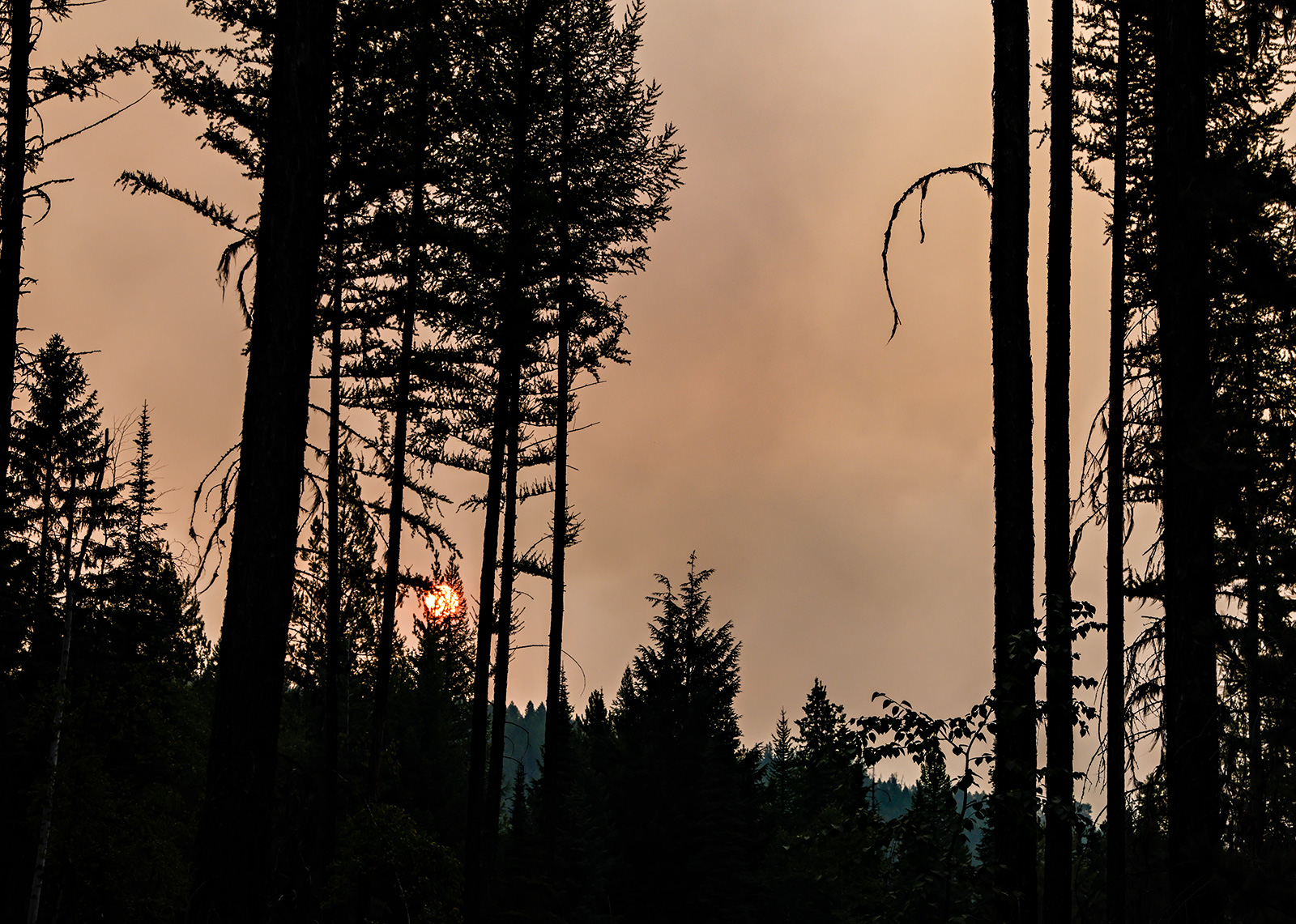
Rising temperatures, gusty winds and low humidity caused the Doris Point and Ridge Fires to perk up Tuesday afternoon, producing dramatic smoke columns visible from Columbia Falls to West Glacier and prompting an air quality alert for Lake and Flathead counties until noon Wednesday.
Although fire managers took advantage of this past week’s cooler temperatures to gain ground on multiple wildfires burning in northwest Montana, hot and dry weather is forecasted to continue into Thursday evening’s Fire Weather Watch as fire activity across the region continues to ramp up. According to the National Weather Service (NWS) in Missoula, “area wildfires will continue to become more active” due to the ongoing hot and dry weather.
“Periods of haze and smoke are likely through at least Friday, possibly degrading air quality at times in western Montana and north-central Idaho,” according to an update by NWS meteorologists.
Over the last 24 hours, the most active fires have been burning on the northeast side of the Flathead Valley, including the Bruce, Sullivan, and Ridge Wildfires. Additionally, the Big Knife Fire near Arlee remains active and continues to slowly grow.

Located on the west side of Hungry Horse Reservoir, the 763-acre Doris Point Fire was lightning-caused and was detected on July 30. It is located on the west side of Hungry Horse Reservoir, within the current area closure.
“The Doris point fire is a confine and contain strategy to support the Flathead National Forest resource management objectives and to provide point protection for campground infrastructure,” according to fire information officers. “There are no values at risk or threatened infrastructure at this time.”
“At this time, the fire is in a remote location and is not burning near any homes or private property,” added Kira Powell, public information officer for the Flathead National Forest. “Fire managers are continuing to assess the situation and more information will be provided as it becomes available.”
The California Interagency Incident Management Team 4 assumed command of the Doris Point Fire at 6 a.m. Wednesday, having arrived in the region last week to manage the Ridge Fire. Team 4 took command of the 3,249-acre Ridge Fire on Aug. 9. It is currently 14% contained.
“Yesterday, increased fire behavior on the Ridge Fire and Doris Point fire was noticeably visible, producing a large smoke plume. Expect potentially similar conditions to continue with the hot and dry weather continuing into the weekend,” according to a Wednesday morning update from public information officers assigned to the Ridge Fire, which has its own Facebook page. “The Ridge fire did not have significant fire growth and the containment lines held strong. Crews continued to make good progress on the direct handline and mop up on the south, west and north high priority areas of the fire. Aircraft is continuing to work on the eastern edge utilizing precision water drops to slow the fire progress to the east.”
Today, crews will continue to secure the direct handline on the entire western half of the fire. Resources will start being shifted and redeployed to the eastern portion of the fire as the western portions are completed. Aircraft will work in conjunction with crews to attack the fire on the east side.
South of the Doris Point Fire, there is potential to see an increase in activity from the Tin Solider Complex throughout the rest of the week as warm temperatures persist. The Tin Soldier Complex fires are burning on the West Side of the Hungry Horse Reservoir and South Fork of the Flathead River.
“The smoke columns from this complex will potentially be visible from the Flathead Valley, south of the current column that can be seen from the Doris Point Fire,” according to Powell.