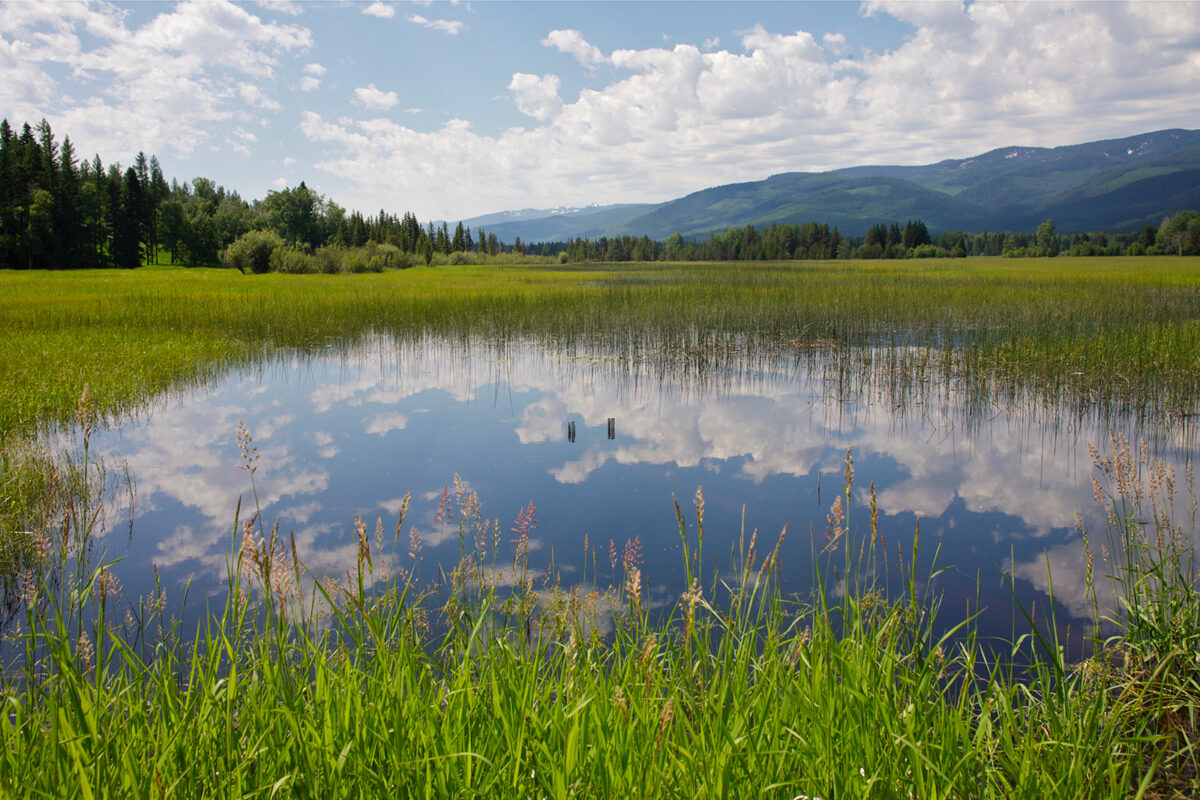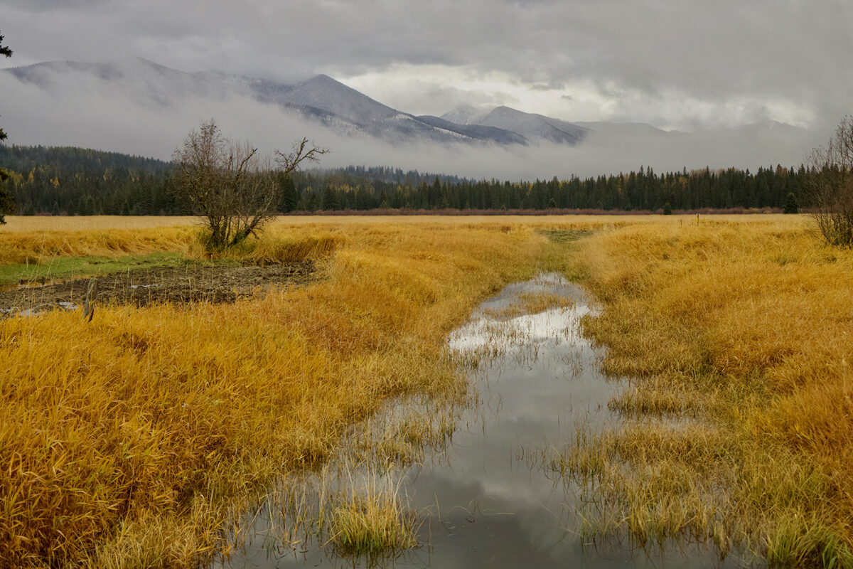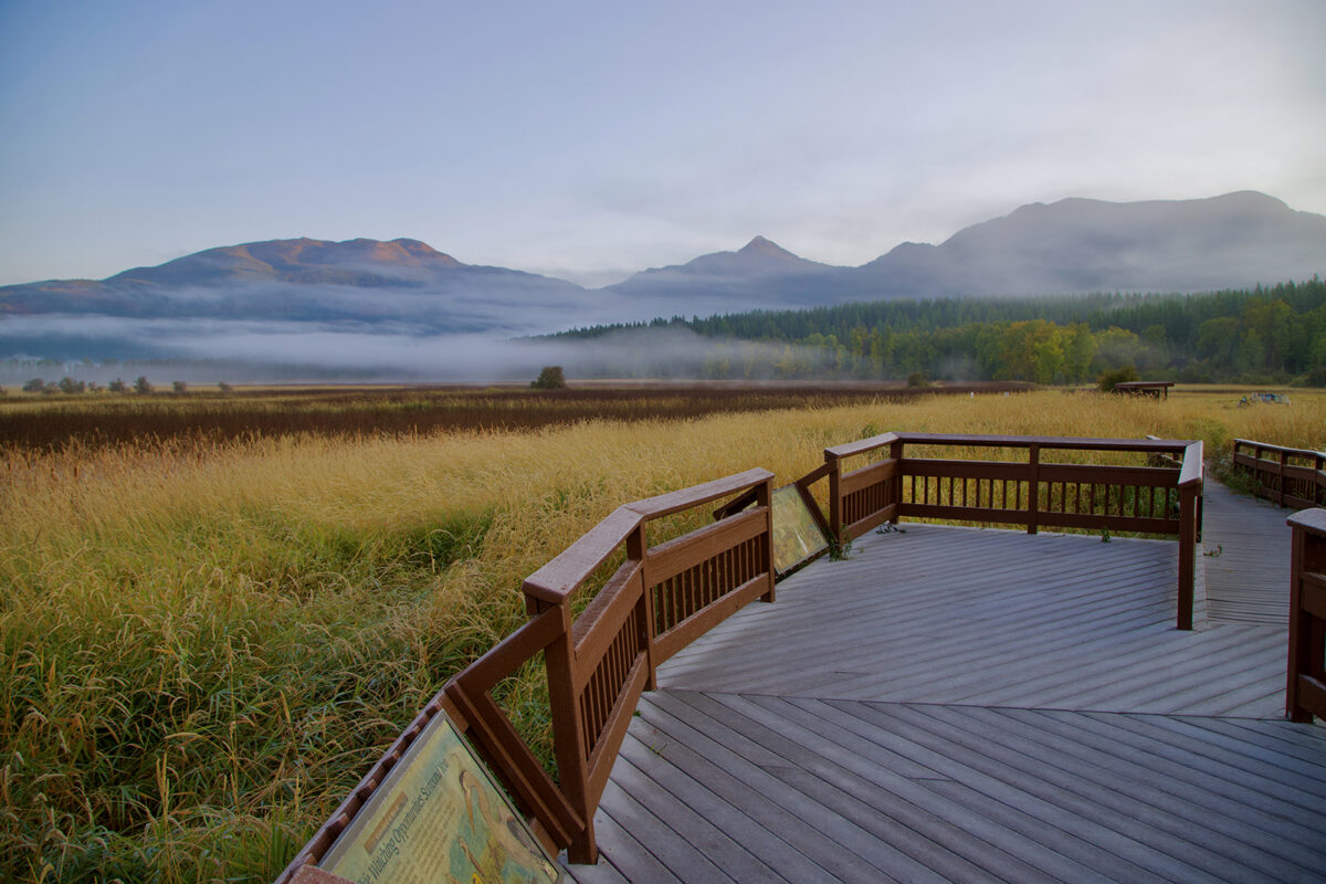
Gazing across the marsh from the Swan River National Wildlife Refuge, visitors are inclined to be on the lookout for birds or other wildlife that visit or live here. But scattered throughout the refuge are fenceposts and the remains of log buildings, strewn like bones of a long-dead animal. Skinny waterways, like flooded sidewalks, meander amid reed canary grass and cottonwood stands, etching the faint outlines of a story of early settlement on this wild and wonderful landscape.
In 2022, the largest wetland restoration project in Montana history was completed in efforts to restore natural waterflow, habitat and wildlife to areas in the refuge that were manipulated by early settlers who dug ditches to drain water to create pasture, grow hay, and raise cattle.
By filling just under a mile of the 15.7 miles of ditches that were constructed here, officials with the U.S. Fish and Wildlife Service (USFWS) worked to restore 609 acres of wetlands, drowning out almost 400 acres of the non-native and invasive reed canary grass, which homesteaders planted to stabilize ditch banks.
After the completion of the restoration in October 2022, some of the results were immediate as water flowed unimpeded into the nearly flat wetland area, restoring the refuge’s natural flood plain. It will take longer to restore vegetation as reed canary grass will likely take three to five years to convert to native wetland sedges, bulrushes, and horsetail.
The wetland restoration improves habitat for over 200 species of birds, including 23 species of waterfowl and other wildlife such as grizzly bears, which use the refuge as a critical habitat corridor linking the Swan and Mission Mountain Ranges.
Swan River National Wildlife Refuge (SRNWR) lies in one of the largest marsh complexes in Montana, formed when a finger of the continental ice sheet covering the Flathead Valley split at the north end of the Mission Range and spread into the Swan Valley. As the ice sheet made several advances and retreats, ice blocking the north end of the narrow valley caused deep sediments to accumulate as glaciers retreated. Wetlands formed because of the low permeability of the clay and silt sediments covering the valley floor. The Swan Valley holds more surface water than any other Montana watershed with 16% of the land comprised of wetlands.

The Swan Valley was first inhabited by Native Americans who hunted and fished in this lush valley. The Salish and Kootenai Indians also traveled through the Swan Valley as they crossed over the mountains to hunt bison on the Great Plains.
Homesteaders trickled in during the late 1880s and the Forest Homestead Act of 1906 encouraged settlement of agricultural land within forest land. Homesteaders were required to dedicate 20 acres on a 160-acre homestead for hay or grazing. It was easier to drain a wetland by creating ditches than it was to clear timberland as evidenced by the ditches on the SRNWR. Several levees were also constructed on the Swan River and shoreline of Swan Lake to restrict overbank flow from the river to refuge land.
The difficulty in raising and distributing crops caused many homesteaders to seek other places and ways to make a living outside of their homesteads. Some of the homesteaders here were employed during a large timber sale at the head of Swan Lake from 1914-1919 when nearly 90 million board feet of timber was harvested. With limited agricultural options, many of the homesteads were abandoned or eventually turned back to the U.S. Forest Service.
Another early venture near or on the refuge was The Montana Muskrat Company, established by Chicago businessman James Hall. The huge undertaking was the largest muskrat fur farm in the nation. Mesh fencing was laid both under and above ground and dikes and dams were created to hold back the water for the breeding and confinement of 2,400 muskrats. Local lore includes stories of a Swan Lake area residents and kids capturing muskrats that escaped and selling them back to the farm. The muskrat fur business economy collapsed with the stock market in 1929. There is still evidence of the fencing and dikes on the refuge and private land on the west side of Swan River.
The completion of the Montana Highway 83 in 1959 dramatically increased traffic and recreational use of the Swan Valley and the purchase of properties for vacation homes. Fishing and hunting continued to be popular in the Swan Valley, which is one of the last undeveloped low elevation coniferous forest ecosystems in western Montana.
Recognizing the importance of waterfowl in this area, the 1,979-acre SRNWR was established in 1973 for migratory birds through the USFWS purchase of land from private landowners. Even though it is managed primarily for the migratory birds, it also provides year-round habitat for waterfowl and bird species and wildlife such as deer, elk, moose, beaver, otter, bobcat and both black and grizzly bear. Bull trout, federally listed as threatened, and water howellia, recently removed from the Endangered Species List, are also found on the refuge.
In 2015, Swan Valley Connections (SVC), a nonprofit conservation and education organization, was employed by USFWS officials to survey and map vegetation in the refuge as a first step in the proposed restoration of the wetland area. Former SVC Director and botanist Maria Mantas along with SVC wildlife biologist Luke Lamar mapped the entire 1,979 acres in spring and summer of 2015. Trudging in cumbersome hip waders through soggy wetlands woven with a thick tangle of reed canary grass proved challenging. According to Mantas, “It felt like we were walking around on a wet mattress.” Lamar said the canary grass was often 7 to 8 feet high, obscuring their visibility. He remembers an incident when he stepped in a deep hole and ended up face down in silty water. They sometimes used matted bear trails to get through heavy vegetation.
“Several times I scared up bears 10 to 20 feet away, and with the thick, tall grass and other vegetation, I could never see the bears, but only heard them as they huffed away,” Lamar said.

Some of the mapping was accomplished more easily through the use of LiDAR (Light Detection and Ranging) imagery, a remote sensing method to create models of ground elevation. Almost 16 miles of ditches were identified in the refuge area. They also found that the invasive reed canary grass covered almost the entire refuge. Aerial photos taken in 1934 revealed 10 structures within the refuge, likely the original homesteads from the early 1900s. Mantas noticed other evidence of early settlement such as the nonnative peachleaf willow tree, which was often planted by homesteaders, as well as a patch of rhubarb in a grassy meadow.
In 2017, the USFWS completed an assessment to evaluate the potential of wetland restoration and included identifying restoration opportunities and impacts of a restoration project. Whitefish-based River Design Group was hired to install groundwater monitoring wells, which revealing that native species still existed in high groundwater, a case for raising the water level through ditch removal.
The next step was to find funding for the restoration. In 2020, Lamar spent over 400 hours in research, meetings with partners and writing the Southwest Crown Wetland Conservation in Montana proposal, which eventually earned a North American Wetlands Conservation Act (NAWCA) grant to fund the project. Additional time was spent meeting other criteria before the restoration could begin, including an Environmental Assessment, public scoping and meetings, archeological and biological studies, obtaining permits, and facilitating contract bid tours.
The restoration began Aug. 1, 2022 and it was completed in October 2022 through the collaboration of Swan Valley Connections, the USFWS and River Design Group. Glacier Excavating of Eureka and Condon-based Euchre Logging were selected to complete the restoration work. The process focused on minimizing the impact of implementing larger equipment to complete the restoration, which included the use of logs strategically placed in fragile areas, the temporary placement of filter fabric and pit run gravel and the use of existing plants and soils from former berms as fill. Over 25,000 cubic yards of dirt were moved and strategically placed along nearly a mile of ditch to plug the unnatural waterway.
The project took eight years to come to fruition, but the results will be ongoing for decades as the refuge hydrology recharges and returns to a more natural state through passive conversion.
Mantas, of Swan Valley Connections, has nurtured a special connection to the ecologically rich region, as well as to the project. She explains, “It was as if my careers converged.” Much of her 40-year career included some work towards preserving this landscape. While working as forest botanist for the Flathead National Forest from 1990 to 2002, she oversaw the establishment of the 682-acre Swan River Research Natural Area, directly south of the refuge complex. She also worked with The Nature Conservancy (TNC) to establish the Swan River Oxbow Trail in the Conservancy’s Swan River Oxbow Preserve, which she later managed after becoming the Western Montana Science and Stewardship Director for TNC. The TNC Preserve was recently purchased by the USFWS and is now part of the refuge. Next, she served as director of SVC where she helped initiate a partnership with the USFWS to implement the mapping and restoration project. After leaving SVC, she worked as a private citizen with the USFWS, The Conservation Fund, The Nature Conservancy, and Bill Cruz to secure the Bill Cruz Wildlife Management Area, which is adjacent to the refuge. She says, “This last effort was an enormously gratifying capstone to my career, as acquisition of the Bill Cruz property combined with SRNWR and the Swan River Research Natural Area created one of the largest intact blocks of protected lands in a low elevation valley floor in western Montana.”
Mantas notes, “The enormous wetland complex at the head of Swan Lake is unique in extent, wildlife diversity, and its near wilderness quality.”
A restored wetland area will also improve water quality of Swan Lake by flood control, groundwater recharge, capturing carbon and filtering out fine sediments that can be harmful to spawning fish habitat.
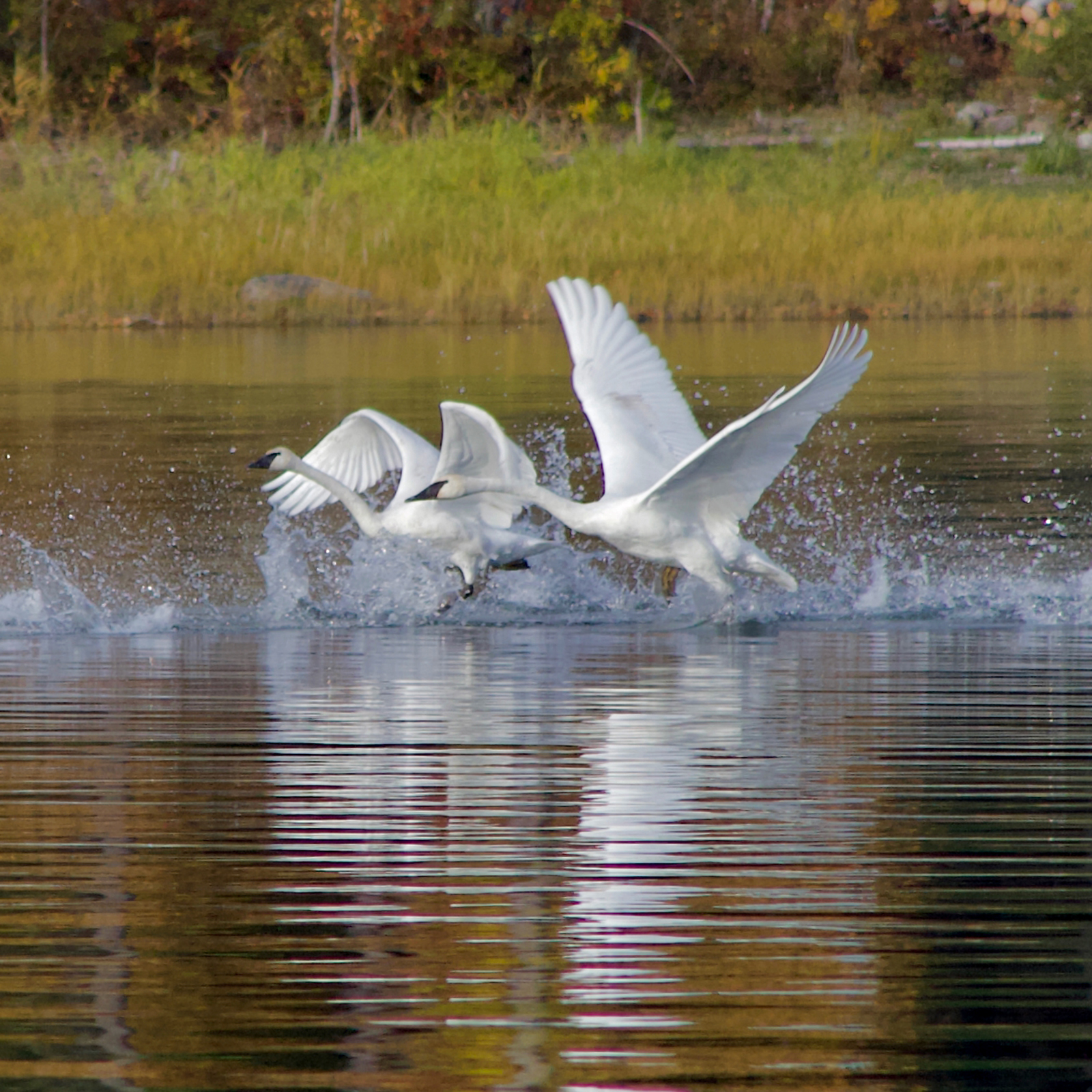
As the wetlands continue to recharge, they provide more habitat for a variety of waterfowl including flocks of trumpeter swans, which have been spotted frequenting the refuge. Lamar says they are hopeful that there might be nesting swans in the near future. With the restoration completed, the refuge continues to restore itself – proving that humans can sometimes turn back the clock after disturbing and altering wild places – when they hand it back to nature.

Refuge area timeline
1900s Homesteaders begin altering the landscape by digging ditches and berms to establish grazing and farmland.
1909 Forest officials build the Swan Guard Station, constructed the remote ranger station on the edge of the present-day refuge.
1910s Demand for timber begins outpacing that of crops, prompting homesteaders to log over 90 million board feet of timber in the Swan Valley while establishing a basecamp at the head of Swan Lake next to what’s now the Swan River National Wildlife Refuge.
1920s Chicago businessman James Hall establishes a Muskrat fur farm.
1959 Completion of the Swan Valley Forest Highway increases traffic and recreational use in the area.
1973 U.S. Fish and Wildlife Service (USFWS) officials authorize the purchase of the land and establish the Swan River National Wildlife Refuge.
2015 Swan Valley Connections (SVC) contracts with the USFWS to conduct vegetation surveys and create a map of vegetative communities across the entire 1,979-acre Swan River National Wildlife Refuge.
2017 USFWS completes an initial restoration assessment to evaluate the potential of restoring the natural wetland hydrology and vegetation at the Refuge.
2018 An extra 319 acres is incorporated into the refuge with the addition of the Cruz Waterfowl Production Area.
2021 Federal grand money is awarded to help fund the restoration.
2022 The restoration work begins in earnest in August and is completed by mid-October.